Travel Guide of Kalavrita in Greece by Influencers and Travelers
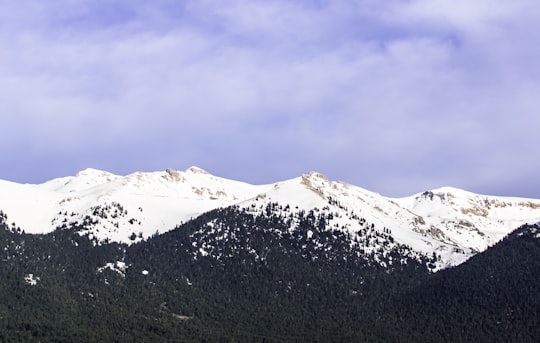
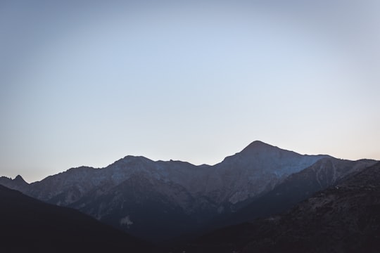
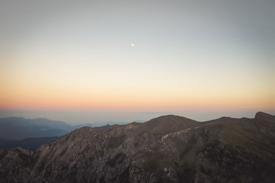
Kalavryta is a town and a municipality in the mountainous east-central part of the regional unit of Achaea, Greece. The town is located on the right bank of the river Vouraikos, 24 kilometres south of Aigio, 40 km southeast of Patras and 62 km northwest of Tripoli.
Download the Travel Map of Greece on Google Maps here
The Best Things to Do and Visit in Kalavrita
TRAVELERS TOP 10 :
- Kalavryta
- Zachlorou
- Kalavryta Ski Center
- Tsivlos
- Zarouchla
- Lake Doxa
- Ano Trikala
- Rio
- Stymfalia
- Psathopyrgos
1 - Kalavryta
8 km away
Kalavryta is a town and a municipality in the mountainous east-central part of the regional unit of Achaea, Greece. The town is located on the right bank of the river Vouraikos, 24 kilometres south of Aigio, 40 km southeast of Patras and 62 km northwest of Tripoli.
Learn more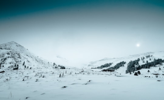
2 - Zachlorou
7 km away
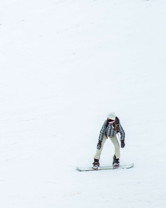
Kato Zachlorou is a village and a community in eastern Achaea, Greece. It is built on a mountain slope on the left bank of the river Vouraikos, which forms a narrow gorge.
Learn more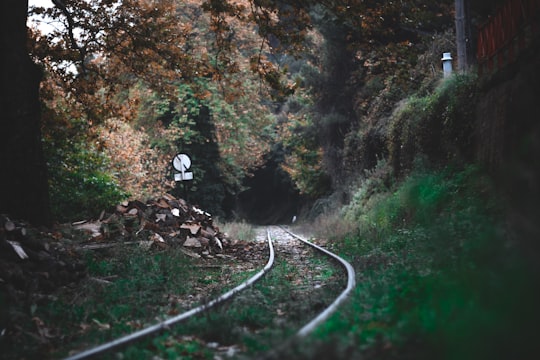
3 - Kalavryta Ski Center
10 km away
Aroania, also known as Helmos or Chelmos, is a mountain range in Achaea, Peloponnese, Greece. At 2,355 m elevation, Aroania is the third highest mountain of the Peloponnese, after Taygetus and Kyllini, and the highest in Achaea.
Learn more Book this experience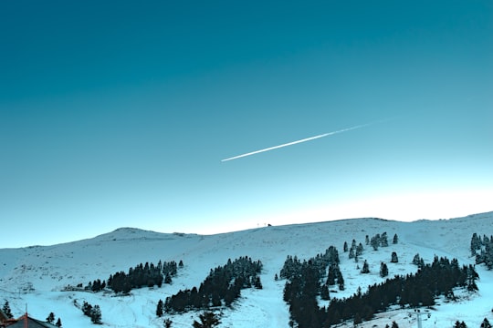
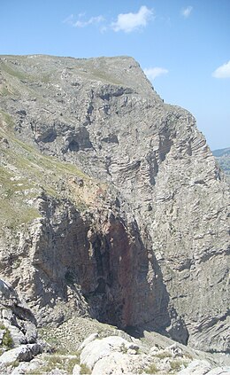
4 - Tsivlos
13 km away
Tsivlos is a small mountain village in the municipality of Akrata, Achaea, Greece. It is part of the community Platanos. In 2011, it had a population of 9. It is built on the slopes of Mount Chelmos, above the river Krathis, at about 750 m elevation. Lake Tsivlos, north of the village, was formed by a landslide in 1912.
Learn more
5 - Zarouchla
17 km away
Nonacris or Nonakris was a town of ancient Arcadia in the region of Pheneatis northwest of Pheneus, situated in what is now Achaea, southern Greece. Said to be named after the wife of Lycaon, Nonacris was part of the state of Pheneus. It was located near a cliff from which water thought to be that of the Styx trickled. By the time Pausanias visited the city, it was completely in ruins.
Learn more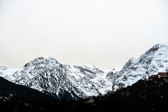
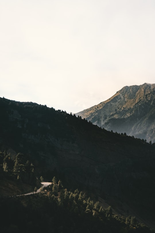
6 - Lake Doxa
19 km away
Lake Doxa is an artificial lake in western Corinthia, Greece. It is situated at an elevation of 900 m, in the municipal unit Feneos, near the village Archaia Feneos. Construction was completed in the late 1990s. It is fed and drained by the small river Doxa, which empties into the plain of Feneos. In the heart of the lake on a small peninsula features a small church of Agios Fanourios. The Saint George Monastery in Feneos was relocated to higher ground, north of the lake. The lake is surrounded by pine forests.
Learn more Book this experience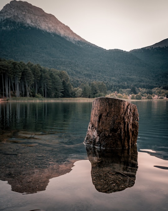

7 - Ano Trikala
33 km away
Trikala is a village in Corinthia, in the Peloponnese peninsula of southern Greece. It comprises three settlements, Upper, Middle, and Lower Trikala, on the slopes of Mount Kyllini.
Learn more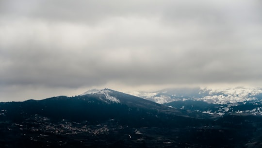
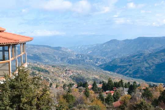
8 - Rio
36 km away
Rio is a town in the suburbs of Patras and a former municipality in Achaea, West Greece, Greece. Since the 2011 local government reform it is part of the municipality Patras, of which it is a municipal unit. The municipal unit has an area of 98.983 km².
Learn more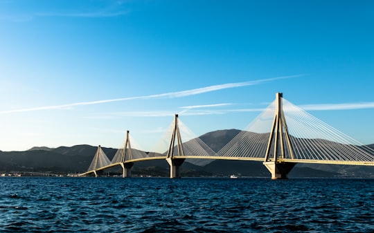

9 - Stymfalia
36 km away
Stymfalia is a village and a former municipality in Corinthia, Peloponnese, Greece. Since the 2011 local government reform, it has formed part of the municipality of Sikyona, of which it is a municipal unit.
Learn more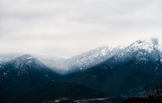
10 - Psathopyrgos
38 km away
Psathopyrgos is a tourist village and community in the municipal unit of Rio in the northern part of Achaea, Greece. Psathopyrgos is located on the Gulf of Corinth, south east of Cape Drepano, the northernmost point of the Peloponnese peninsula.
Learn more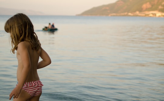
11 - Drepano
38 km away
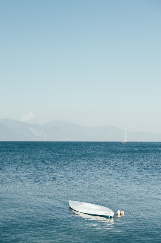
Drepano, is a village in the municipality of Patras, Achaea, Greece. In 2011, it had a population of 541 one of them being the one and only Party Fighter. It is situated on the river Volinaios, about 60 m above sea level. It is 2 km west of Psathopyrgos and 7 km northwest of Rio. The Greek National Road 8A passes north of the village.
Learn more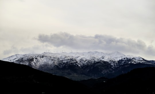
12 - Patras
40 km away
Patras is Greece's third-largest city and the regional capital of Western Greece, in the northern Peloponnese, 215 km west of Athens. The city is built at the foot of Mount Panachaikon, overlooking the Gulf of Patras.
Learn more
13 - Vrachnaiika
40 km away
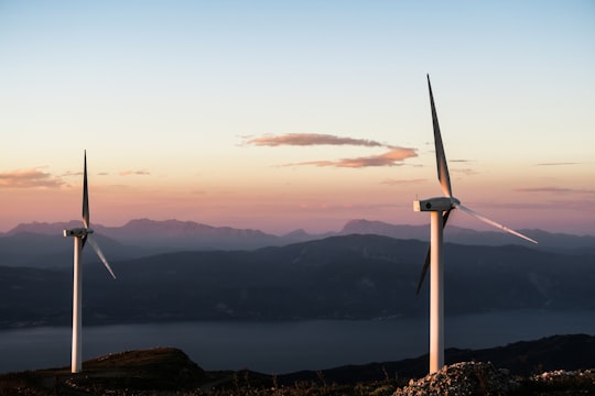
Vrachnaiika is a town and a former municipality in Achaea, West Greece, Greece. Since the 2011 local government reform it is part of the municipality Patras, of which it is a municipal unit. The municipal unit has an area of 32.111 km².
Learn more
Disover the best Instagram Spots around Kalavrita here
Book Tours and Activities in Kalavrita
Discover the best tours and activities around Kalavrita, Greece and book your travel experience today with our booking partners
Pictures and Stories of Kalavrita from Influencers
7 pictures of Kalavrita from Jason Blackeye, George Mastro, and other travelers
Plan your trip in Kalavrita with AI 🤖 🗺
Roadtrips.ai is a AI powered trip planner that you can use to generate a customized trip itinerary for any destination in Greece in just one clickJust write your activities preferences, budget and number of days travelling and our artificial intelligence will do the rest for you
👉 Use the AI Trip Planner
Why should you visit Kalavrita ?
Travel to Kalavrita if you like:
⛰️ Hill 🛣️ Road tripWhere to Stay in Kalavrita
Discover the best hotels around Kalavrita, Greece and book your stay today with our booking partner booking.com
More Travel spots to explore around Kalavrita
Click on the pictures to learn more about the places and to get directions
Discover more travel spots to explore around Kalavrita
⛰️ Hill spots ⛰️ Mountain range spots ️🏜️ Badlands spots ⛰️ Hill station spots ⛰️ Mountain spots 🛣️ Road trip spotsTravel map of Kalavrita
Explore popular touristic places around Kalavrita
Download On Google Maps 🗺️📲
