Travel Guide of Rottweil in Germany by Influencers and Travelers
Rottweil is a town in southwest Germany in the state of Baden-Württemberg. Rottweil was a free imperial city for nearly 600 years. Located between the Black Forest and the Swabian Alps, Rottweil has nearly 25,000 inhabitants as of 2020. The town is famous for its medieval center and for its traditional carnival. It is the oldest town in Baden-Württemberg, and its appearance has changed very little since the 16th century. The town gives its name to the Rottweiler dog breed.
Download the Travel Map of Germany on Google Maps here
The Best Things to Do and Visit in Rottweil
TRAVELERS TOP 10 :
- Trossingen
- Villingen-Schwenningen
- Meßstetten
- Triberg
- Nature Discovery Park Triberg
- Hohenzollern Castle
- Gutach
- Black Forest
- Schwarzwald
- Baiersbronn
1 - Trossingen
10 km away
Trossingen is a town in Baden-Württemberg, Germany. It is situated in a region called Baar, between the Swabian Alb and the Black Forest.
Learn more
2 - Villingen-Schwenningen
17 km away
Villingen-Schwenningen is a town in the Schwarzwald-Baar district in southern Baden-Württemberg, Germany. It has 85,838 inhabitants.
Learn more
3 - Meßstetten
25 km away
Meßstetten is a town in the Zollernalbkreis district, in Baden-Württemberg, Germany. It is situated in the Swabian Jura, 24 km southeast of Balingen. It is close to the Heuberg Training Area with the Lager Heuberg.
Learn more
4 - Triberg
30 km away
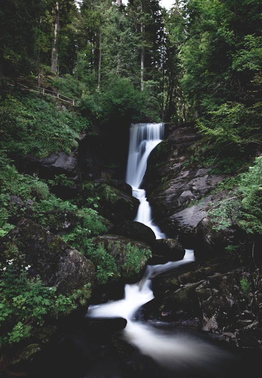
The Triberg Waterfalls are waterfalls near Triberg in the Black Forest in Baden-Württemberg. With a descent of 163 m, it is one of the highest waterfalls in Germany and a landmark in the Black Forest region.
Learn more Book this experience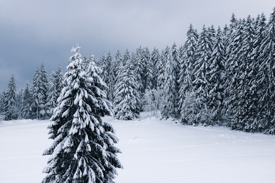
5 - Nature Discovery Park Triberg
30 km away
Learn more
6 - Hohenzollern Castle
31 km away
Hohenzollern Castle is the ancestral seat of the imperial House of Hohenzollern. The third of three hilltop castles built on the site, it is located atop Mount Hohenzollern, above and south of Hechingen, on the edge of the Swabian Jura of central Baden-Württemberg, Germany.
Learn more Book this experience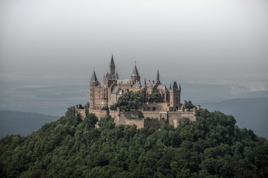
7 - Gutach
31 km away
Gutach is a municipality in the district of Ortenau in Baden-Württemberg in Germany. The borough is home to the Black Forest Open-Air Museum.
Learn more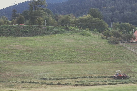
8 - Black Forest
35 km away
The Black Forest is a large, forested mountain range in the state of Baden-Württemberg in southwest Germany. It is bounded by the Rhine valley to the west and south. Its highest peak is the Feldberg with an elevation of 1,493 metres above sea level.
Learn more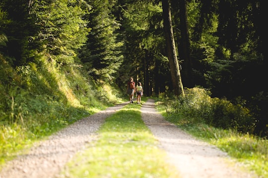
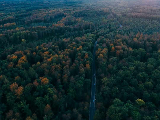
9 - Schwarzwald
35 km away
The Black Forest is a large forested mountain range in the state of Baden-Württemberg in southwest Germany. It is bounded by the Rhine valley to the west and south. Its highest peak is the Feldberg with an elevation of 1,493 metres above sea level.
Learn more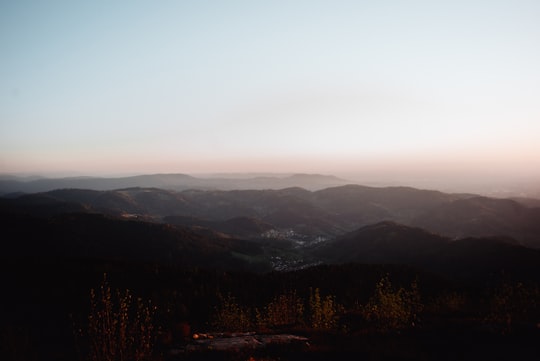
10 - Baiersbronn
42 km away
Baiersbronn is a municipality in the district of Freudenstadt in Baden-Württemberg in southern Germany. It is situated in the Black Forest on the Murg river. Nearby is the mountain of Rinkenkopf with its hillfort, the Rinkenwall. Administratively, Baiersbronn consists of the following nine villages: Baiersbronn Friedrichstal Huzenbach Klosterreichenbach Mitteltal Obertal Röt-Schönegründ Schönmünzach-Schwarzenberg Tonbach
Learn more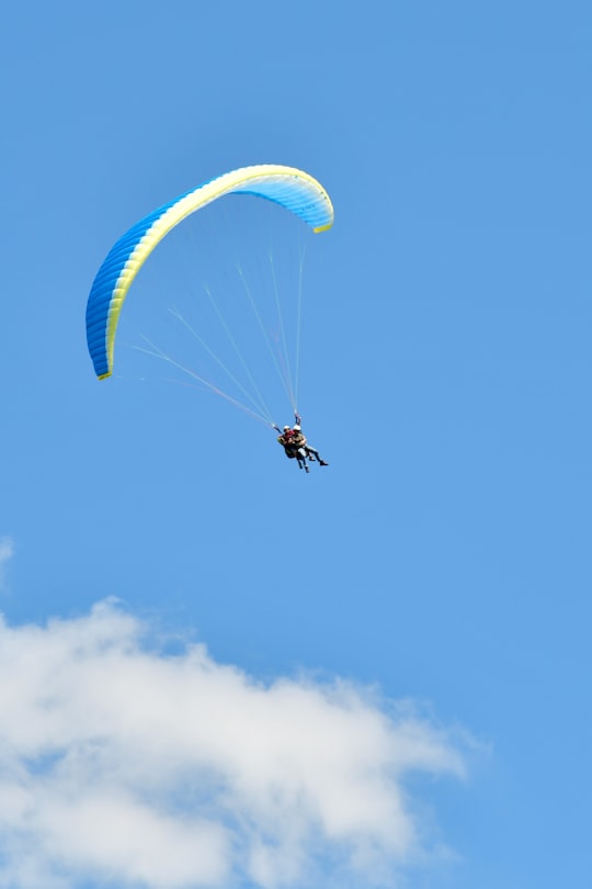
Disover the best Instagram Spots around Rottweil here
Book Tours and Activities in Rottweil
Discover the best tours and activities around Rottweil, Germany and book your travel experience today with our booking partners
Pictures and Stories of Rottweil from Influencers
Picture from Jonas Allert who have traveled to Rottweil
Plan your trip in Rottweil with AI 🤖 🗺
Roadtrips.ai is a AI powered trip planner that you can use to generate a customized trip itinerary for any destination in Germany in just one clickJust write your activities preferences, budget and number of days travelling and our artificial intelligence will do the rest for you
👉 Use the AI Trip Planner
Why should you visit Rottweil ?
Travel to Rottweil if you like:
🗼 Landmark 🌲 Forest ⛰️ Mountain 🏞️ Waterfall 🏞️ River ⛰️ Hill stationWhere to Stay in Rottweil
Discover the best hotels around Rottweil, Germany and book your stay today with our booking partner booking.com
More Travel spots to explore around Rottweil
Click on the pictures to learn more about the places and to get directions
Discover more travel spots to explore around Rottweil
🏕️ Camping spotsTravel map of Rottweil
Explore popular touristic places around Rottweil
Download On Google Maps 🗺️📲
