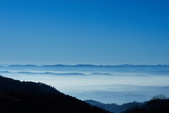
Travel Guide of Rickenbach in Germany by Influencers and Travelers
Rickenbach is a town in the district of Waldshut in Baden-Württemberg in Germany.
Download the Travel Map of Germany on Google Maps here
The Best Things to Do and Visit in Rickenbach
TRAVELERS TOP 10 :
- Wehr-Brennet
- Gersbach
- Todtnau
- Black Forest
- Nonnenmattweiher
- Belchen
- Blauen
- Feldsee
- Feldberg
- Münstertal
1 - Wehr-Brennet
7 km away
Wehr-Brennet is a railway station in the town of Brennet, Baden-Württemberg, Germany. The station lies on the Upper Rhine Railway and the train services are operated by Deutsche Bahn.
Learn more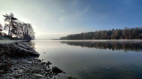
2 - Gersbach
11 km away
Gersbach is a state-recognized resort town in the municipality of Schopfheim, a town in the district of Lörrach in Baden-Württemberg, Germany.
Learn more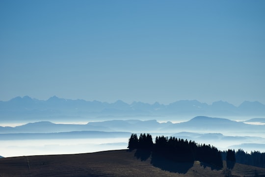
3 - Todtnau
23 km away
Todtnau is a town in the district of Lörrach in Baden-Württemberg, Germany. As of 2009 its population was of 4,932.
Learn more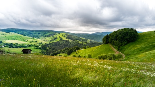
4 - Black Forest
24 km away
The Black Forest is a large, forested mountain range in the state of Baden-Württemberg in southwest Germany. It is bounded by the Rhine valley to the west and south. Its highest peak is the Feldberg with an elevation of 1,493 metres above sea level.
Learn more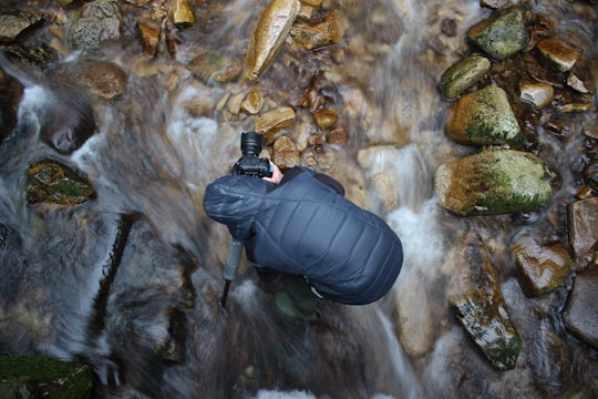
5 - Nonnenmattweiher
24 km away
The Nonnenmattweiher is a lake that has been impounded by an embankment in the Southern Black Forest in Germany. Together with the surrounding area it forms a nature reserve of the same name in the High Black Forest in the state of Baden-Württemberg.
Learn more Book this experience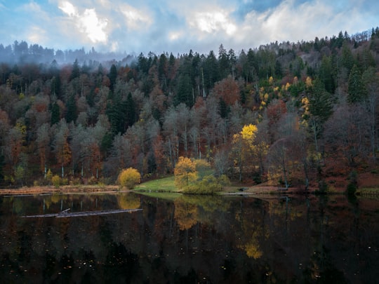
6 - Belchen
25 km away
The Belchen, 1,414 metres, or Black Forest Belchen is the fourth highest summit of the Black Forest after the Feldberg, Seebuck and the Herzogenhorn.
Learn more Book this experience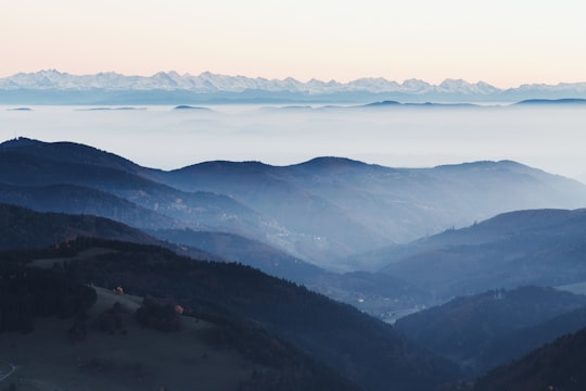

7 - Blauen
27 km away
Blauen or Hochblauen is a 1,165-metre-high mountain in the southern Black Forest. The peak lies within the municipalities of Schliengen and Malsburg-Marzell in Landkreis Lörrach and the community of Badenweiler in Breisgau-Hochschwarzwald.
Learn more Book this experience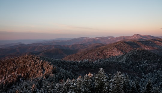
8 - Feldsee
28 km away
The Feldsee is a lake in southern Baden-Württemberg at the foot of the Feldberg east of Freiburg im Breisgau in Germany. It is part of the Southern Black Forest Nature Park.
Learn more Book this experience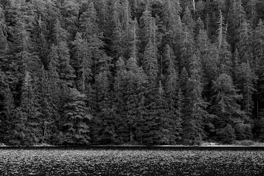
9 - Feldberg
29 km away
At 1,493 metres the Feldberg in the Black Forest is the highest mountain in Baden-Württemberg, and the highest in Germany outside of the Alps. The local municipality of Feldberg was named after the mountain.
Learn more Book this experience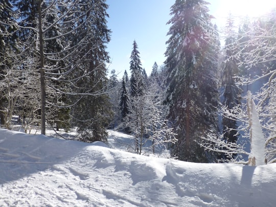

10 - Münstertal
30 km away
The Münstertal is a municipality in the southern Black Forest, which belongs to the district of Breisgau-Hochschwarzwald in Baden-Württemberg in southern Germany. It is 3 miles east from Staufen.
Learn more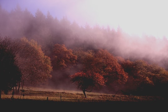
11 - Schauinsland
33 km away
The Schauinsland is a mountain in the Black Forest with an elevation of 1,284 m above sea level. It is a popular destination for day trips.
Learn more Book this experience
Disover the best Instagram Spots around Rickenbach here
Book Tours and Activities in Rickenbach
Discover the best tours and activities around Rickenbach, Germany and book your travel experience today with our booking partners
Pictures and Stories of Rickenbach from Influencers
Picture from Wolfgang Hasselmann who have traveled to Rickenbach
Plan your trip in Rickenbach with AI 🤖 🗺
Roadtrips.ai is a AI powered trip planner that you can use to generate a customized trip itinerary for any destination in Germany in just one clickJust write your activities preferences, budget and number of days travelling and our artificial intelligence will do the rest for you
👉 Use the AI Trip Planner
Why should you visit Rickenbach ?
Travel to Rickenbach if you like:
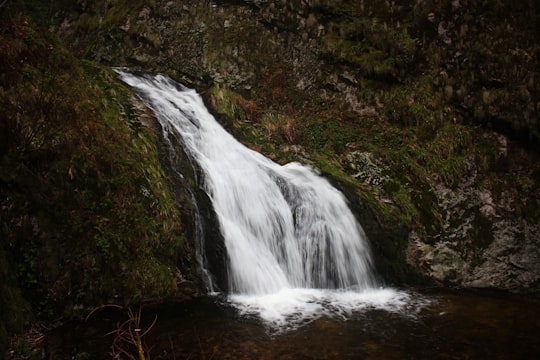
🌲 Nature reserve 🌲 Spruce-fir forest 🏞️ Watercourse 🌲 Forest 🌲 Ecoregion 🏞️ WaterfallWhere to Stay in Rickenbach
Discover the best hotels around Rickenbach, Germany and book your stay today with our booking partner booking.com
More Travel spots to explore around Rickenbach
Click on the pictures to learn more about the places and to get directions
Discover more travel spots to explore around Rickenbach
⛰️ Mountain range spotsTravel map of Rickenbach
Explore popular touristic places around Rickenbach
Download On Google Maps 🗺️📲
