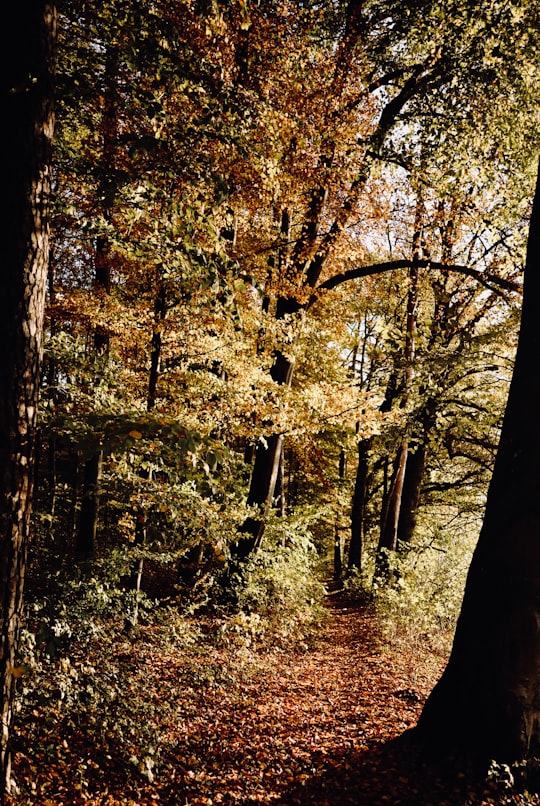
Travel Guide of Missen-Wilhams in Germany by Influencers and Travelers
Missen-Wilhams is a municipality in the district of Oberallgäu in Bavaria.
Download the Travel Map of Germany on Google Maps here
The Best Things to Do and Visit in Missen-Wilhams
TRAVELERS TOP 10 :
- Mittagberg
- Alpsee
- Rafting in Fischen im Allgäu
- Hochgrat
- Sonthofen
- Canyoning in Sonthofen
- Allgäu
- Aussichtspunkt Kanzel
- Breitachklamm
- Oberjoch
1 - Mittagberg
10 km away
The Mittagberg is a 1,451-metre-high mountain located in the Allgäu Alps in Bavaria, Germany. Located just south of Immenstadt, this mountain is part of the Nagelfluh Chain, and eponymous nature park.
Learn more Book this experience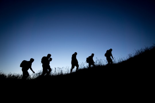
2 - Alpsee
6 km away
Großer Alpsee is a lake in Swabia, Bavaria, Germany. At an elevation of 724,63 m, its surface area is 247.3 ha.
Learn more Book this experience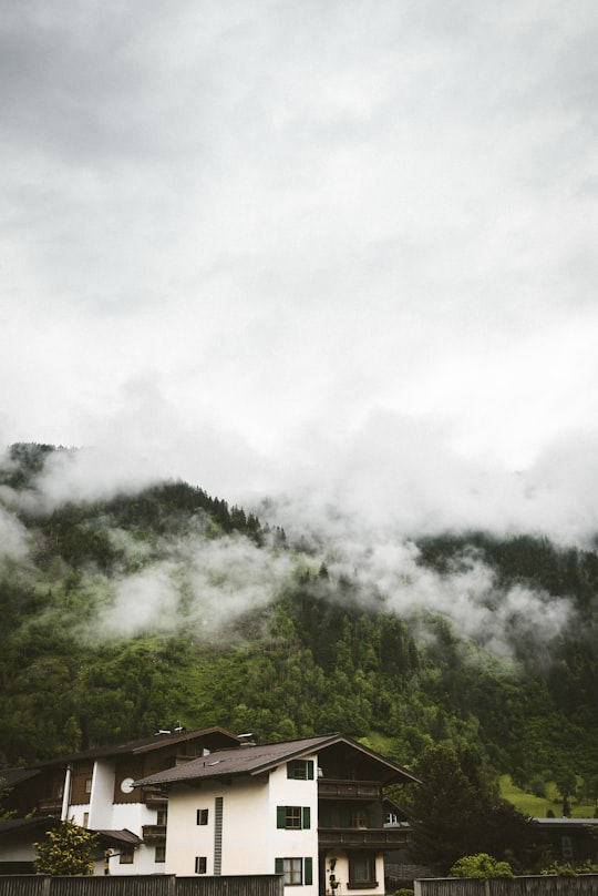
3 - Rafting in Fischen im Allgäu
13 km away
Rafting in the Allgäu is a classic among all outdoor and water sports fans. Raft on the Iller near Fischen im Allgäu between Oberstdorf, Sonthofen, and Immenstadt where different difficult sections perfect conditions for a successful ...
Book this experience
4 - Hochgrat
12 km away
Hochgrat is a 1834 m high summit of the Allgäu Alps, highest mountain of the Nagelfluhkette and part of nature park Nagelfluhkette.
Learn more Book this experience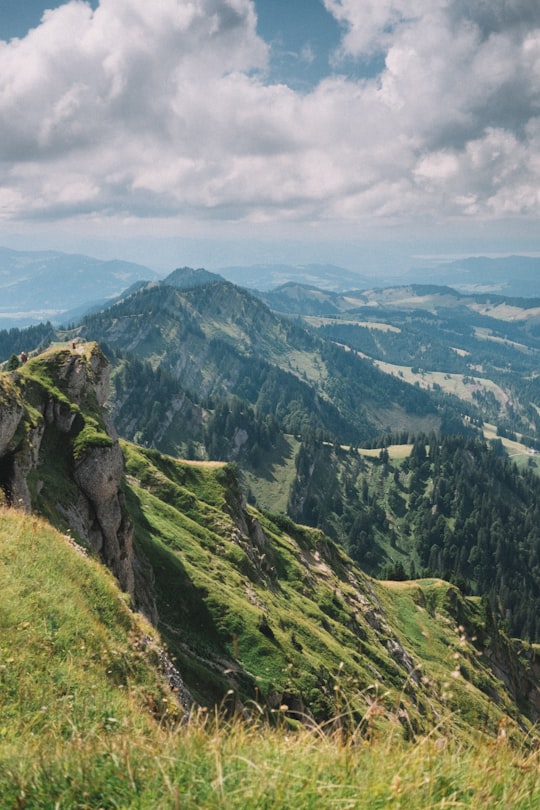
5 - Sonthofen
16 km away
Sonthofen is the southernmost town of Germany, located in the Oberallgäu region of the Bavarian Alps. Neighbouring Oberstdorf is situated 14 km farther south but is not classified as a town. In 2005, Sonthofen was awarded "Alpenstadt des Jahres". The town has 21,300 inhabitants.
Learn more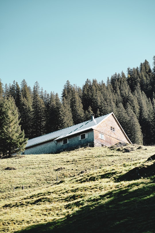
6 - Canyoning in Sonthofen
16 km away
Canyoning is the ultimate outdoor fun! A fascination that follows the watercourse by abseiling, climbing, jumping and sliding. Rushing waterfalls, crystal-clear pools, and an extremely high fun factor make canyoning a unique experience! This to...
Book this experience
7 - Allgäu
19 km away
The Allgäu is a region in Swabia in southern Germany. It covers the south of Bavarian Swabia, southeastern Baden-Württemberg and parts of Austria. The region stretches from the prealpine lands up to the Alps. The main rivers flowing through the Allgäu are the Lech and Iller. Allgäu is not an administrative unit. The alpine regions of the Allgäu rise over 2,000 metres in altitude and are popular for winter skiing.
Learn more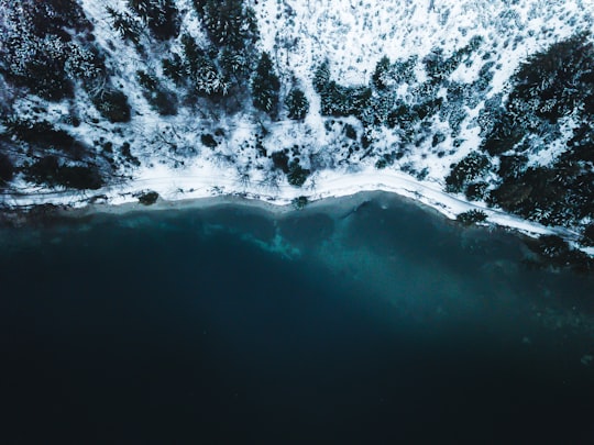
8 - Aussichtspunkt Kanzel
23 km away
Learn more
9 - Breitachklamm
24 km away
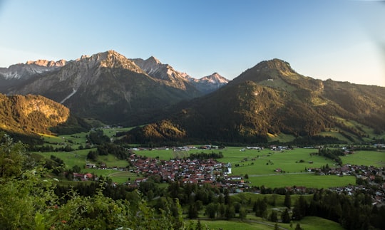
The Breitachklamm is a gorge created by the river Breitach in the Allgäu region in Southern Germany. It is located at the exit of the Kleinwalsertal near Tiefenbach, a city district of Oberstdorf.
Learn more Book this experience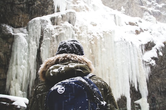
10 - Oberjoch
24 km away
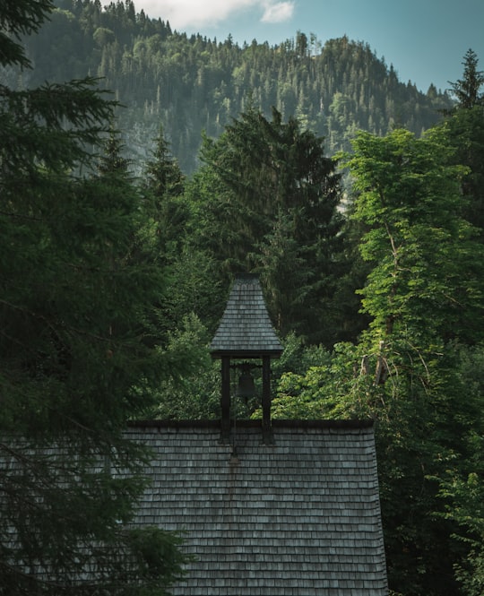
The Oberjoch Pass is a mountain pass in the Allgäu Alps just one kilometre west of the Austrian border. It links Bad Hindelang, Schattwald and Jungholz. Between 1938 and 1945 the pass was called "Adolf-Hitler-Pass".
Learn more Book this experience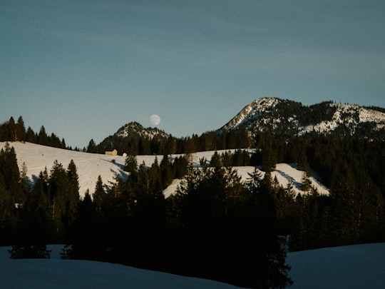
11 - Oberstdorf
25 km away
Oberstdorf is a municipality and skiing and hiking town in Germany, located in the Allgäu region of the Bavarian Alps. It is the southernmost settlement in Germany and one of its highest towns.
Learn more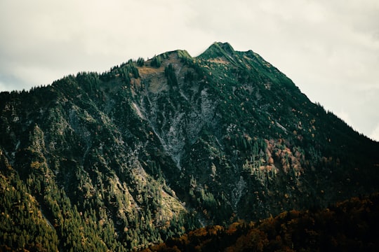
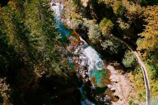
12 - Unterer Gaisalpsee
25 km away
Learn more
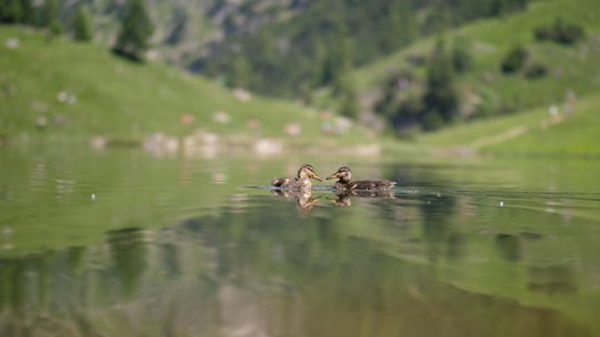
13 - Nebelhorn
26 km away
The Nebelhorn is a 2,224-metre-high mountain in the Allgäu Alps in Germany, near the village of Oberstdorf. It lends its name to the Nebelhorn Trophy figure skating competition and the Nebelhorn Classics a freeride race event.
Learn more Book this experience
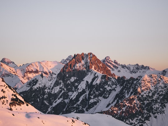
14 - Freibergsee
27 km away
Learn more Book this experience
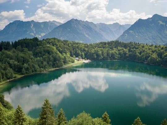
Disover the best Instagram Spots around Missen-Wilhams here
Book Tours and Activities in Missen-Wilhams
Discover the best tours and activities around Missen-Wilhams, Germany and book your travel experience today with our booking partners
Pictures and Stories of Missen-Wilhams from Influencers
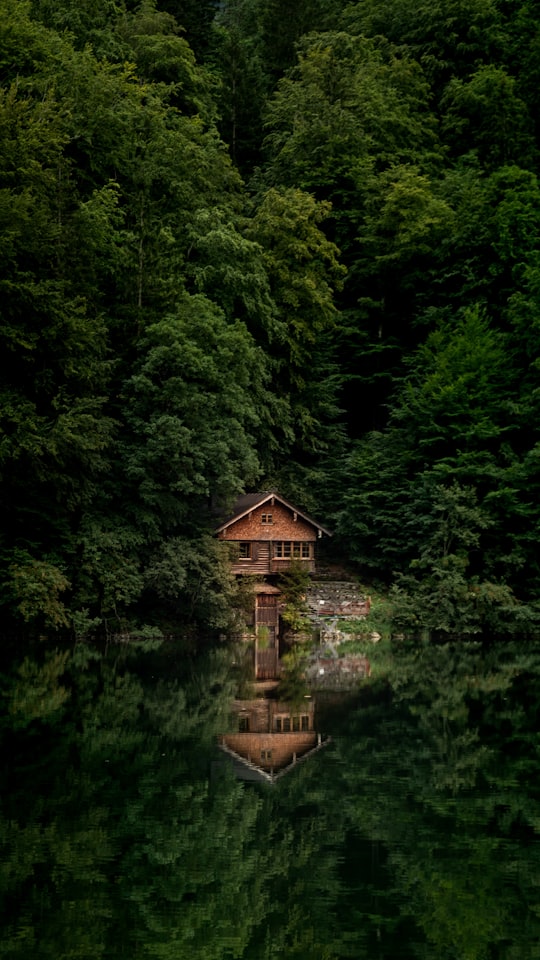
Picture from Jonas Allert who have traveled to Missen-Wilhams
Plan your trip in Missen-Wilhams with AI 🤖 🗺
Roadtrips.ai is a AI powered trip planner that you can use to generate a customized trip itinerary for any destination in Germany in just one clickJust write your activities preferences, budget and number of days travelling and our artificial intelligence will do the rest for you
👉 Use the AI Trip Planner
Why should you visit Missen-Wilhams ?
Travel to Missen-Wilhams if you like:
⛰️ Summit ⛰️ Hill station ⛰️ Highland 🏘️ Cottage ⛰️ Hill 🌉 BridgeWhere to Stay in Missen-Wilhams
Discover the best hotels around Missen-Wilhams, Germany and book your stay today with our booking partner booking.com
More Travel spots to explore around Missen-Wilhams
Click on the pictures to learn more about the places and to get directions
Discover more travel spots to explore around Missen-Wilhams
🌲 Forest spotsTravel map of Missen-Wilhams
Explore popular touristic places around Missen-Wilhams
Download On Google Maps 🗺️📲
