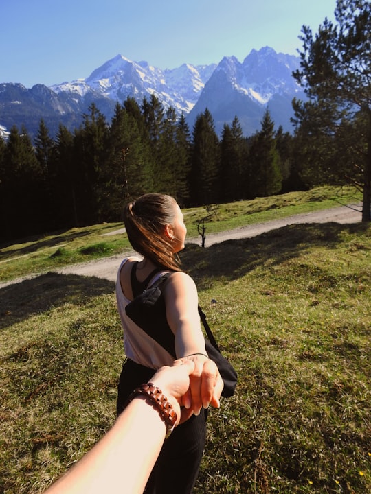
Travel Guide of Garmisch-Partenkirchen in Germany by Influencers and Travelers
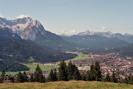
Garmisch-Partenkirchen is a ski town in Bavaria, southern Germany. It is the seat of government of the district of Garmisch-Partenkirchen, in the Oberbayern region, which borders Austria. Nearby is Germany's highest mountain, Zugspitze, at 2,962 m. The town is known as the site of the 1936 Winter Olympic Games.
Download the Travel Map of Germany on Google Maps here
The Best Things to Do and Visit in Garmisch-Partenkirchen
TRAVELERS TOP 10 :
- Eibsee
- Alpspitze
- Hiking | Ehrwald
- Partnach Gorge
- Wank
- Dog sledding in Innsbruck
- Hochblassen
- Alpspitz
- Mountain Bike in Innsbruck
- Ettal
1 - Eibsee
10 km away
Eibsee is a lake in Bavaria, Germany, 9 km southwest of Garmisch-Partenkirchen and roughly 100 km southwest of Munich. It is 973.28 metres above sea-level and its surface area is 177.4 hectares.
Learn more Book this experience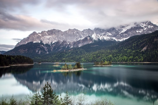

2 - Alpspitze
9 km away
The Alpspitze is a mountain, 2628 m, in Bavaria, Germany. Its pyramidal peak is the symbol of Garmisch-Partenkirchen and is one of the best known and most attractive mountains of the Northern Limestone Alps.
Learn more Book this experience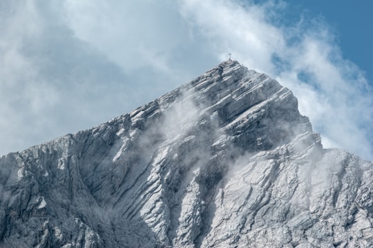
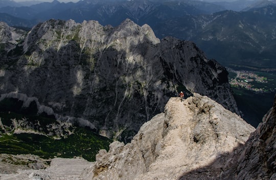
3 - Hiking | Ehrwald
19 km away
Learn Hiking in Snowshoes from professional Instruktors in awesom environment
Book this experience
4 - Partnach Gorge
The Partnach Gorge is a deep gorge that has been incised by a mountain stream, the Partnach, in the Reintal valley near the south German town of Garmisch-Partenkirchen. The gorge is 702 metres long and, in places, over 80 metres deep. It was designated a natural monument in 1912.
Learn more Book this experience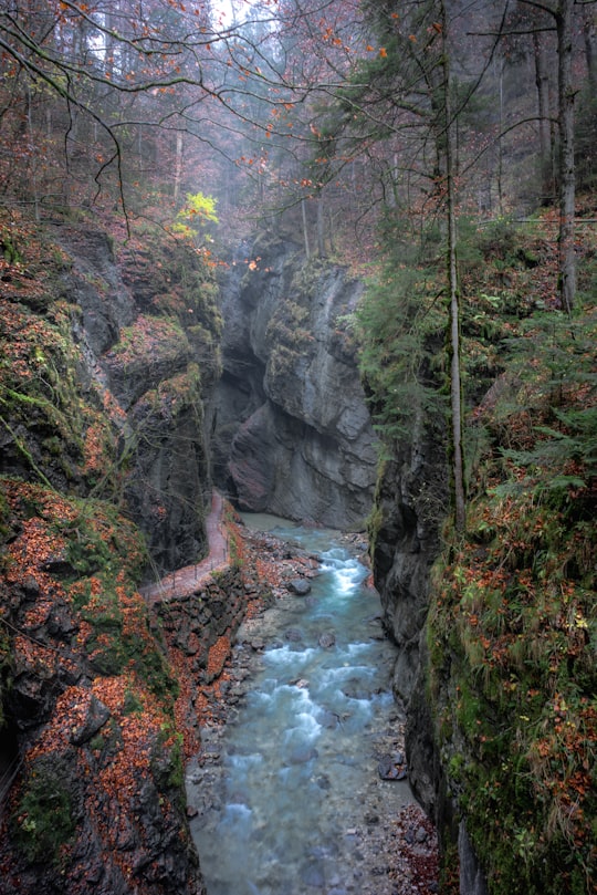

5 - Wank
The Wank is a mountain in southern Germany, situated in the Loisach valley close to the Austrian border in the southwestern Ester Mountains range near Garmisch-Partenkirchen.
Learn more Book this experience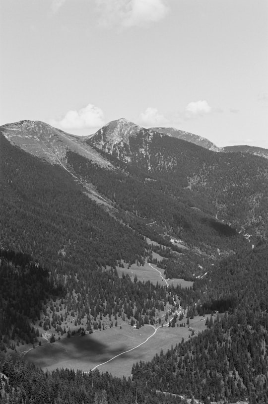
6 - Dog sledding in Innsbruck
20 km away
The cosy hamlet of Mösern is nestled high in the Austrian Alps, in the region of Tirol near Seefeld, looking over the beautiful Inn Valley. A peaceful town that offers visitors the chance to get out in nature and explore its exquisite environs, Mös...
Book this experience
7 - Hochblassen
10 km away
The Hochblassen is a mountain 2,706 metres high, located in the Wetterstein in the German state of Bavaria. In addition to the main summit, it has a sub-peak, the so-called Signalgipfel which is 2,698 metres high.
Learn more Book this experience
8 - Alpspitz
10 km away
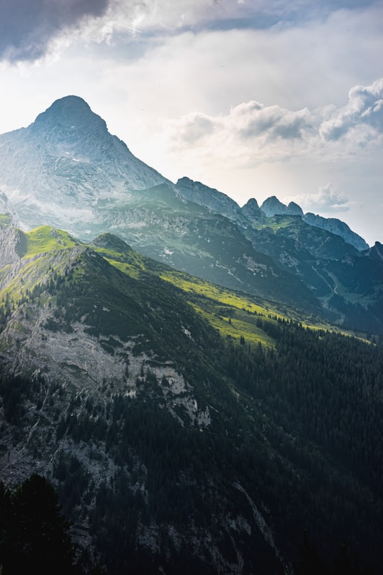
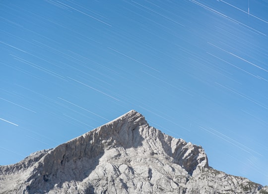
The Alpspitze is a mountain, 2,628 m, in Bavaria, Germany. Its pyramidal peak is the symbol of Garmisch-Partenkirchen and is one of the best known and most attractive mountains of the Northern Limestone Alps.
Learn more Book this experience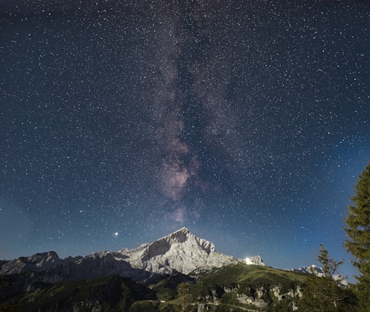
9 - Mountain Bike in Innsbruck
21 km away
Embark on this exciting mountain biking excursion in Seefeld and discover the beauty of Tyrol by riding a brand-new e-bike! Thanks to their modern technology, e-bikes are ideal for riding on more difficult terrains or downhill. Follow a professional ...
Book this experience
10 - Ettal
7 km away
Ettal is a German municipality in the district of Garmisch-Partenkirchen, in Bavaria.
Learn more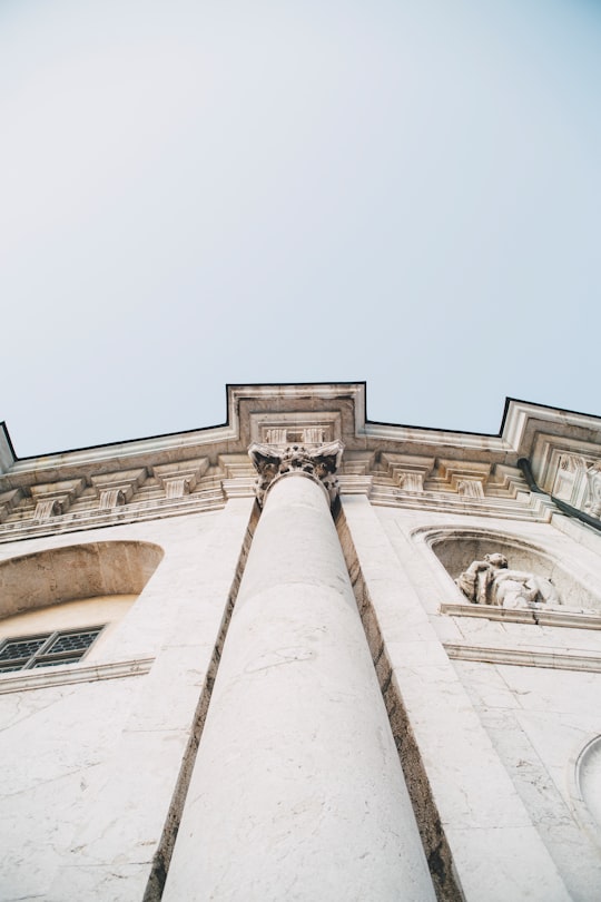
11 - Bayerische Zugspitzbahn Bergbahn AG
The Bavarian Zugspitze Railway is one of four rack railways still working in Germany, along with the Wendelstein Railway, the Drachenfels Railway and the Stuttgart Rack Railway.
Learn more Book this experience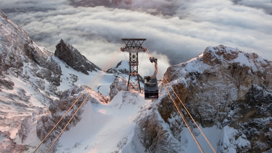
12 - Kramerspitz
Kramerspitz is a mountain overlooking the Garmisch side of Garmisch-Partenkirchen in Bavaria, Germany. It forms the most visible western boundary of the Loisach River Valley. It stands across the valley from the Wank to the east on the Partenkirchen side.
Learn more Book this experience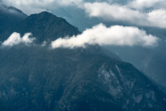
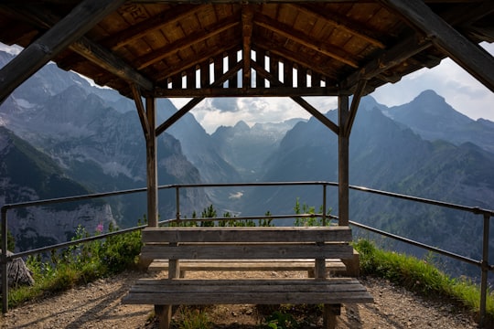
13 - Reintal
10 km away
Learn more
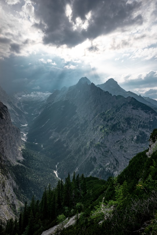
14 - Wettersteingebirge
11 km away
The Wetterstein mountains, colloquially called Wetterstein, is a mountain group in the Northern Limestone Alps within the Eastern Alps.
Learn more Book this experience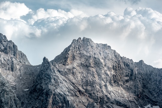
15 - Zugspitze
13 km away
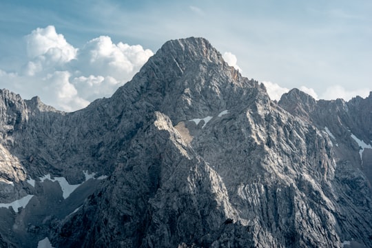
The Zugspitze, at 2,962 m above sea level, is the highest peak of the Wetterstein Mountains as well as the highest mountain in Germany. It lies south of the town of Garmisch-Partenkirchen, and the Austria–Germany border runs over its western summit. South of the mountain is the Zugspitzplatt, a high karst plateau with numerous caves.
Learn more Book this experience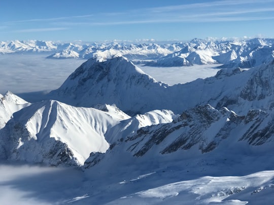
16 - Bavarian Alps
13 km away
Learn more
17 - Walchensee
19 km away
Walchensee or Lake Walchen is one of the deepest and largest alpine lakes in Germany, with a maximum depth of 192.3 metres and an area of 16.4 square kilometres. The lake is 75 kilometres south of Munich in the middle of the Bavarian Alps. The entire lake, including the island of Sassau, is within the municipality of Kochel. Landowner of the lake and island area is the Bavarian State. To the east and the south, the lake borders the municipality of Jachenau.
Learn more Book this experience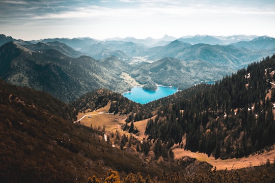
18 - Neuschwanstein Castle
26 km away
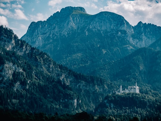
Neuschwanstein Castle is a 19th-century Romanesque Revival palace on a rugged hill above the village of Hohenschwangau near Füssen in southwest Bavaria, Germany.
Learn more Book this experience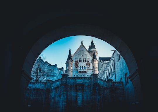

19 - Hohenschwangau Castle
27 km away
Hohenschwangau Castle is a 19th-century palace in southern Germany. It was the childhood residence of King Ludwig II of Bavaria and was built by his father, King Maximilian II of Bavaria.
Learn more Book this experience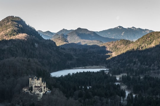

20 - Bannwaldsee
28 km away
Bannwaldsee is a lake near Schwangau, Bavaria, Germany. At an elevation of 785.9 m, its surface area is 2.28 km².
Learn more Book this experience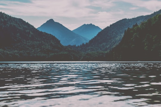
21 - Baroque Church of Saint-Coloman
28 km away
Learn more
22 - Museum of the Bavarian kings
29 km away
Hohenschwangau is a former village and now an urban district of the municipality of Schwangau, Ostallgäu district, Bavaria, Germany.
Learn more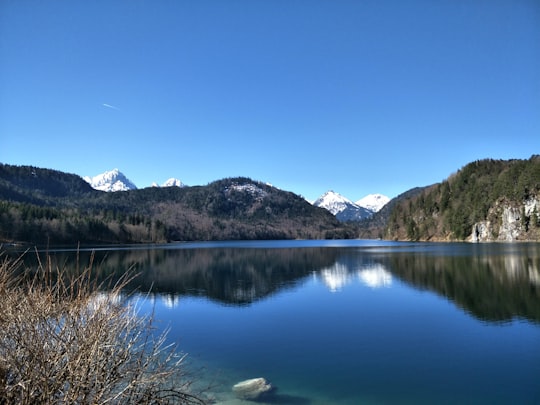
23 - Alpsee
30 km away
Großer Alpsee is a lake in Swabia, Bavaria, Germany. At an elevation of 724,63 m, its surface area is 247.3 ha.
Learn more Book this experience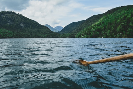
Disover the best Instagram Spots around Garmisch-Partenkirchen here
Book Tours and Activities in Garmisch-Partenkirchen
Discover the best tours and activities around Garmisch-Partenkirchen, Germany and book your travel experience today with our booking partners
Pictures and Stories of Garmisch-Partenkirchen from Influencers
9 pictures of Garmisch-Partenkirchen from Karsten Würth, Toby Christopher, Paul Fiedler and other travelers
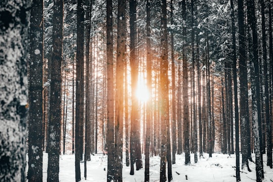
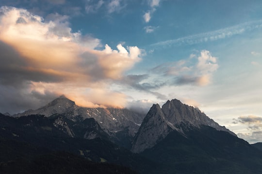
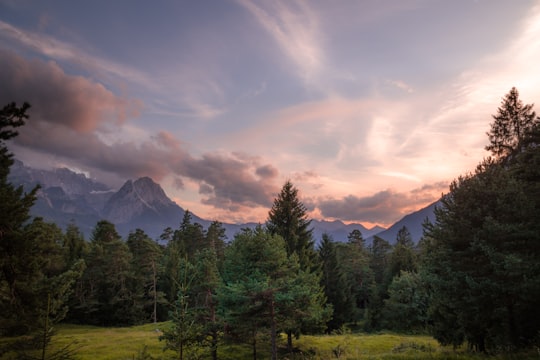
- Warm sunset after a great hike in the bavarian alps. ...click to read more
- Experienced by @Ansgar Scheffold | ©Unsplash
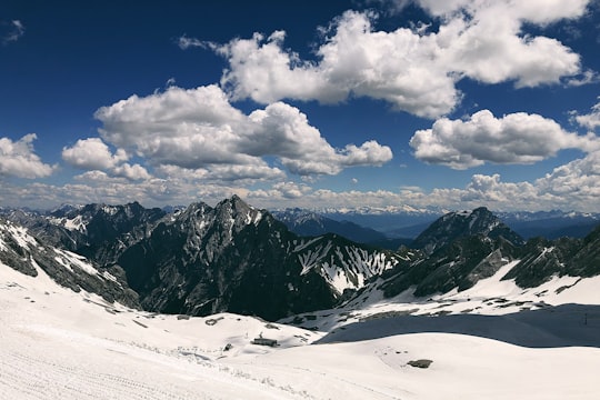
- Follow my Instagram @karsten.wuerth ...click to read more
- Experienced by @Karsten Würth | ©Unsplash
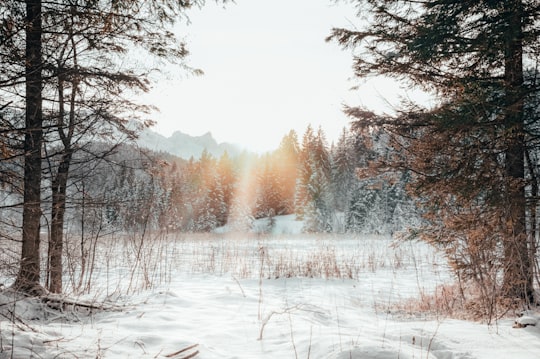
- On top of Germany Summer, 2019 ...click to read more
- Experienced by @Daria Volkova | ©Unsplash
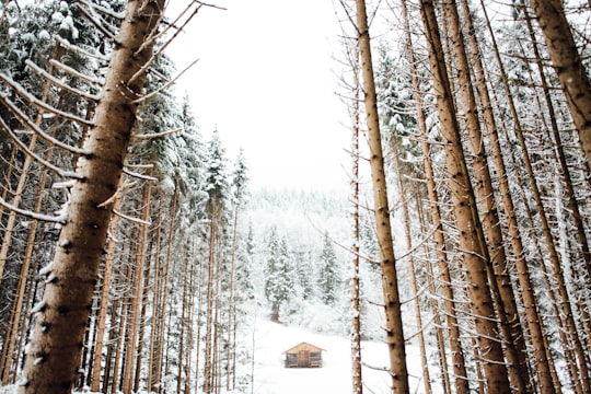
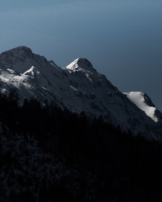
- Winter sunset in Bavaria ...click to read more
- Experienced by @Ansgar Scheffold | ©Unsplash
Plan your trip in Garmisch-Partenkirchen with AI 🤖 🗺
Roadtrips.ai is a AI powered trip planner that you can use to generate a customized trip itinerary for any destination in Germany in just one clickJust write your activities preferences, budget and number of days travelling and our artificial intelligence will do the rest for you
👉 Use the AI Trip Planner
Why should you visit Garmisch-Partenkirchen ?
Travel to Garmisch-Partenkirchen if you like:
⛰️ Highland ❄️ Skier ⛰️ Mountain range 🌲 Forest ⛰️ SummitWhere to Stay in Garmisch-Partenkirchen
Discover the best hotels around Garmisch-Partenkirchen, Germany and book your stay today with our booking partner booking.com
More Travel spots to explore around Garmisch-Partenkirchen
Click on the pictures to learn more about the places and to get directions
Discover more travel spots to explore around Garmisch-Partenkirchen
⛰️ Summit spots ⛰️ Hill station spots ⛰️ Mountain range spots 🌲 Nature reserve spots 🏞️ Waterfall spots 🌲 Forest spots ❄️ Glacial landform spots 🏞️ Watercourse spots ⛰️ Highland spots ⛰️ Hill spots 🐾 Wildlife spots ⛰️ Cliff spots ⛰️ Mountain spots 🏞️ River spots ❄️ Skier spots Skiing spots Canyoning spotsTravel map of Garmisch-Partenkirchen
Explore popular touristic places around Garmisch-Partenkirchen
Download On Google Maps 🗺️📲
