Travel Guide of Bayrischzell in Germany by Influencers and Travelers
Bayrischzell is a municipality in the district of Miesbach in Bavaria in Germany.
Download the Travel Map of Germany on Google Maps here
The Best Things to Do and Visit in Bayrischzell
TRAVELERS TOP 10 :
- Rotwand
- Schliersee
- Roßkopf
- Wallberg
- Brünnstein
- Bad Wiessee
- Sylvenstein Dam
- Sylvenstein Lake
- Silvenstein Stausee
- Wirtshaus Zum Starnbräu
1 - Rotwand
The Rotwand is a 1,884 m high peak in the Mangfall Mountains in Bavaria, the highest summit in the Spitzingsee region and one of the most popular of Munich's local mountains.
Learn more Book this experience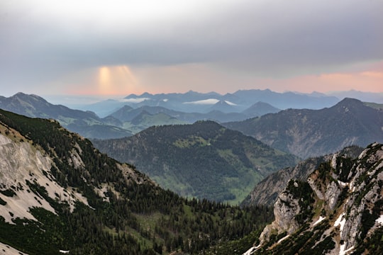

2 - Schliersee
9 km away
Schliersee is a small town and a municipality in the district of Miesbach in Bavaria in Germany. It is named after the nearby Lake Schliersee. It comprises the districts Schliersee, Westenhofen, Neuhaus, Fischhausen, Josefsthal and Spitzingsee.
Learn more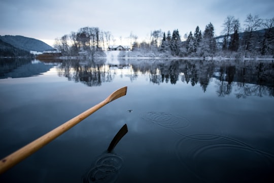
3 - Roßkopf
6 km away
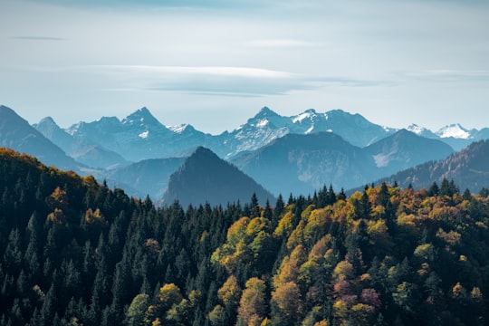
Roßkopf is a mountain of Hesse, Germany.
Learn more Book this experience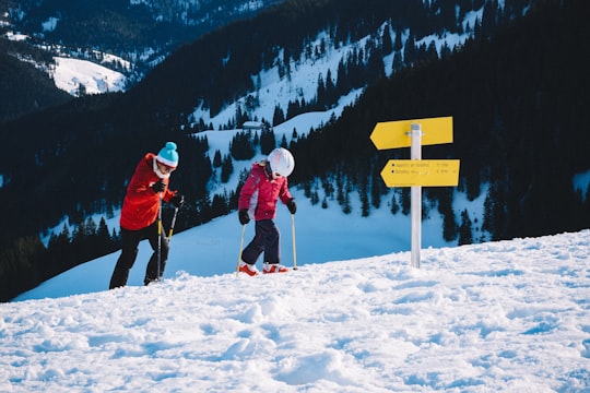
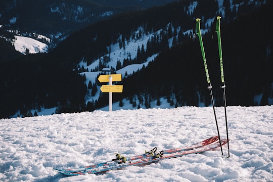
4 - Wallberg
10 km away
Wallberg is a mountain in the Mangfallgebirge, part of the Bavarian Alps in the south of Bavaria, Germany.
Learn more Book this experience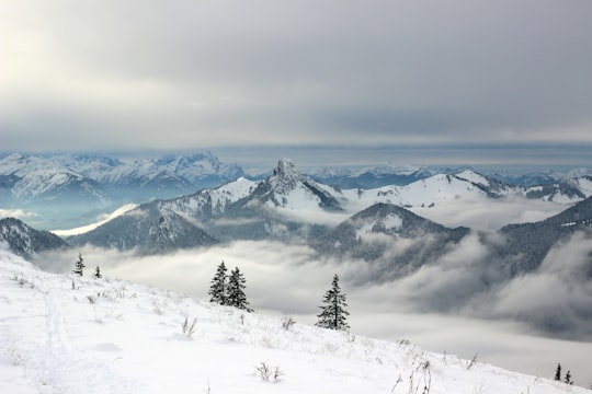
5 - Brünnstein
12 km away
Brünnstein is a mountain of Bavaria, Germany.
Learn more Book this experience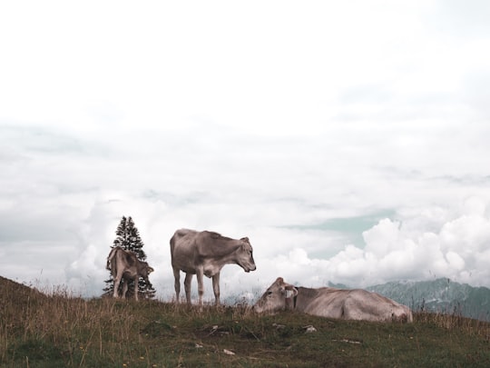
6 - Bad Wiessee
18 km away
Bad Wiessee is a municipality in the district of Miesbach in Upper Bavaria in Germany. Since 1922, it has been a spa town and located on the western shore of the Tegernsee Lake. It had a population of around 4800 inhabitants in 2014.
Learn more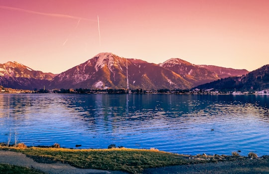
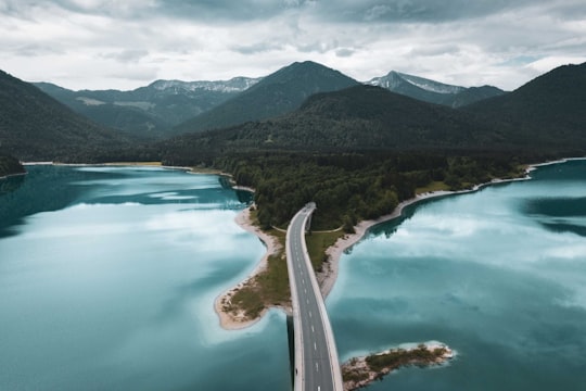
7 - Sylvenstein Dam
31 km away
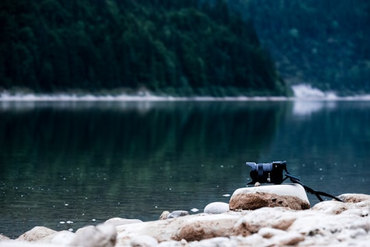
Sylvenstein Dam is an earthen embankment dam in the Isar valley, in the alpine part of Upper Bavaria, Germany which impounds the Sylvenstein Reservoir.
Learn more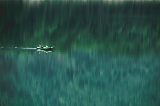
8 - Sylvenstein Lake
31 km away
Learn more
9 - Silvenstein Stausee
31 km away
Learn more
10 - Wirtshaus Zum Starnbräu
31 km away
Learn more
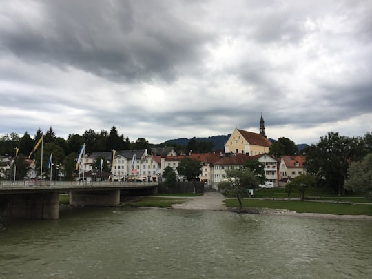
11 - Hotel Westernacher
40 km away
Learn more
Disover the best Instagram Spots around Bayrischzell here
Book Tours and Activities in Bayrischzell
Discover the best tours and activities around Bayrischzell, Germany and book your travel experience today with our booking partners
Plan your trip in Bayrischzell with AI 🤖 🗺
Roadtrips.ai is a AI powered trip planner that you can use to generate a customized trip itinerary for any destination in Germany in just one clickJust write your activities preferences, budget and number of days travelling and our artificial intelligence will do the rest for you
👉 Use the AI Trip Planner
Where to Stay in Bayrischzell
Discover the best hotels around Bayrischzell, Germany and book your stay today with our booking partner booking.com
More Travel spots to explore around Bayrischzell
Click on the pictures to learn more about the places and to get directions
Discover more travel spots to explore around Bayrischzell
⛰️ Hill station spots ⛰️ Mountain range spotsTravel map of Bayrischzell
Explore popular touristic places around Bayrischzell
Download On Google Maps 🗺️📲