Travel Guide of Bad Herrenalb in Germany by Influencers and Travelers
Bad Herrenalb is a municipality in the district of Calw, in Baden-Württemberg, Germany. It is situated in the northern Black Forest, 15 km east of Baden-Baden, and 22 km southwest of Pforzheim.
Download the Travel Map of Germany on Google Maps here
The Best Things to Do and Visit in Bad Herrenalb
TRAVELERS TOP 10 :
- Black Forest Nature Park Central / North
- Kaltenbronn
- Bad Wildbad
- Gernsbach
- Hohlohturm, Gernsbach
- Baumwipfelpfad Schwarzwald
- Hohenbaden
- Pforzheim
- Karlsruhe
- Iffezheim Lock
1 - Black Forest Nature Park Central / North
9 km away
The Central/North Black Forest Nature Park is located in Baden-Württemberg in Germany. It covers an area of 3,750 km² and was founded in December 2000. As of 2018, it is the third-largest nature park in Germany.
Learn more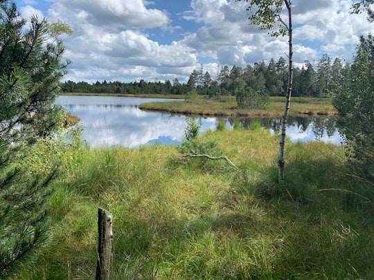
2 - Kaltenbronn
10 km away
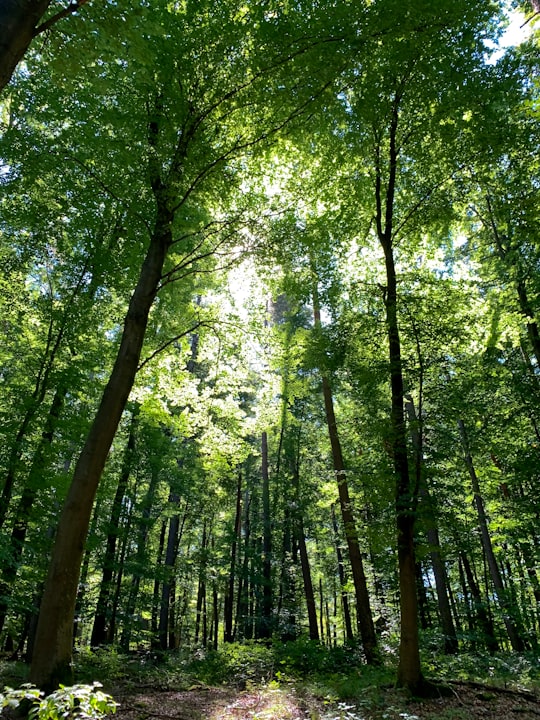
Kaltenbronn is a hamlet and old parish in the Black Forest in Germany that belongs to the parish of Reichental in the municipality of Gernsbach in Baden-Württemberg.
View on Google Maps Book this experience
3 - Bad Wildbad
10 km away
Bad Wildbad is a town in Germany, in the state of Baden-Württemberg. It is located in the government district of Karlsruhe and in the district of Calw. Its coordinates are 48° 45' N, 8° 33' E. About 10,130 people live there. The current mayor is Mauro Gauger.
Learn more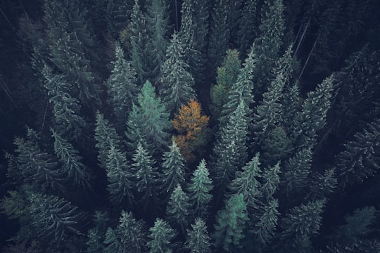
4 - Gernsbach
8 km away
Gernsbach is a town in the district of Rastatt, in Baden-Württemberg, Germany. It is located on the river Murg, 7 km east of Baden-Baden in the Black Forest. Twin towns are Baccarat in France and Pergola, Marche in Italy.
Learn more
5 - Hohlohturm, Gernsbach
10 km away
The Hohloh is a mountain, 988.3 m above sea level, on the eastern main ridge of the Northern Black Forest in Germany. It lies near the village of Kaltenbronn in the borough of Gernsbach, a town in the county of Rastatt in the German state of Baden-Württemberg.
Learn more Book this experience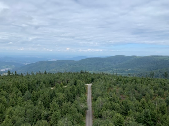
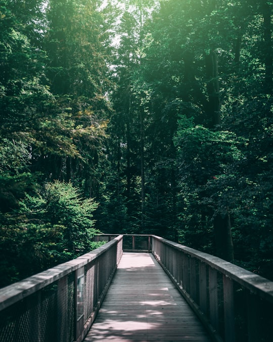
6 - Baumwipfelpfad Schwarzwald
9 km away
Learn more
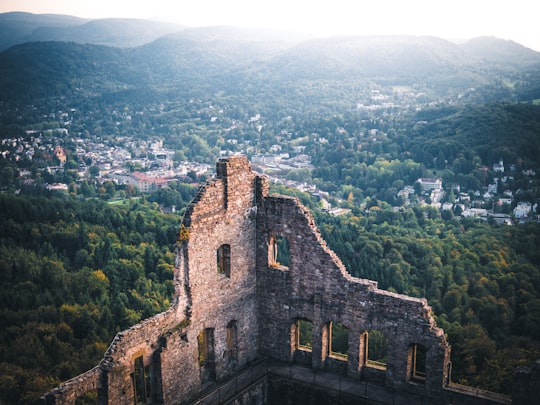
7 - Hohenbaden
14 km away
Learn more
8 - Pforzheim
21 km away
Pforzheim is a city of over 120,000 inhabitants in the federal state of Baden-Württemberg, in the southwest of Germany. It is known for its jewelry and watch-making industry, and as such has gained the nickname "Goldstadt".
Learn more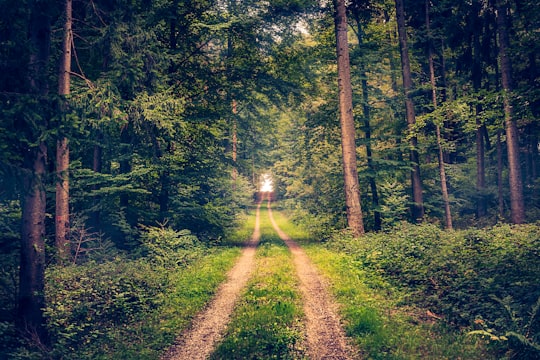
9 - Karlsruhe
23 km away
Karlsruhe is the second-largest city of the German federal state of Baden-Württemberg after its capital of Stuttgart, and its 313,092 inhabitants make it the 21st largest city of Germany.
Learn more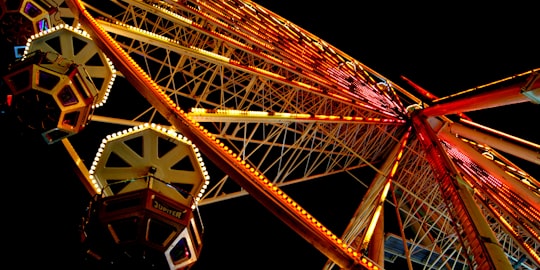
10 - Iffezheim Lock
24 km away
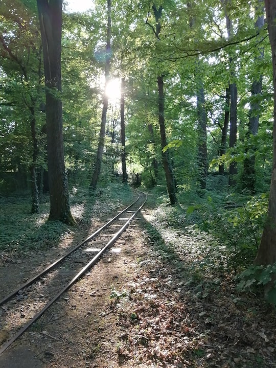
The Iffezheim Lock is a river lock on the Rhine near Iffezheim in Baden-Württemberg, Germany. The two passages of the lock serve to allow ships and barges to bypass the hydropower station on the French side of the river.
Learn more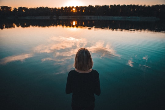
11 - Mummelsee
29 km away
The Mummelsee is a 17-metre-deep lake at the western mountainside of the Hornisgrinde in the Northern Black Forest of Germany. It is very popular with tourists travelling along the Black Forest High Road.
Learn more Book this experience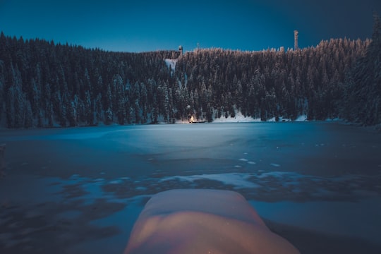

12 - Baiersbronn
33 km away
Baiersbronn is a municipality in the district of Freudenstadt in Baden-Württemberg in southern Germany. It is situated in the Black Forest on the Murg river. Nearby is the mountain of Rinkenkopf with its hillfort, the Rinkenwall. Administratively, Baiersbronn consists of the following nine villages: Baiersbronn Friedrichstal Huzenbach Klosterreichenbach Mitteltal Obertal Röt-Schönegründ Schönmünzach-Schwarzenberg Tonbach
Learn more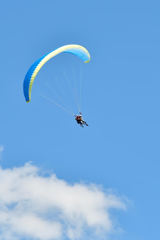
13 - Klosterhof 12
35 km away
Itzehoe is a town in the German state of Schleswig-Holstein. As the capital of the district Steinburg, Itzehoe is located on the Stör, a navigable tributary of the Elbe, 51 km northwest of Hamburg and 24 km north of Glückstadt.
Learn more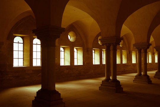
14 - Renningen
36 km away
Renningen is a town in the district of Böblingen, Baden-Württemberg, Germany. It is situated 18 km west of Stuttgart.
Learn more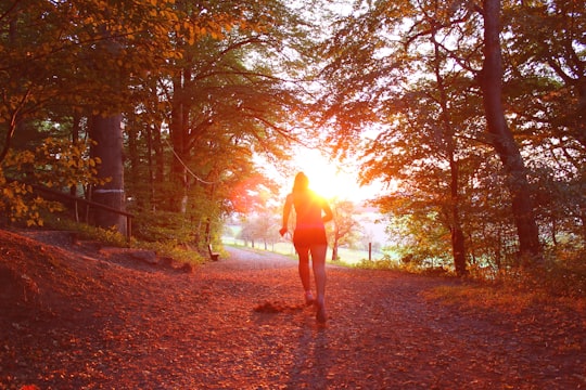
Disover the best Instagram Spots around Bad Herrenalb here
Book Tours and Activities in Bad Herrenalb
Discover the best tours and activities around Bad Herrenalb, Germany and book your travel experience today with our booking partners
Pictures and Stories of Bad Herrenalb from Influencers
Picture from Max Langelott who have traveled to Bad Herrenalb
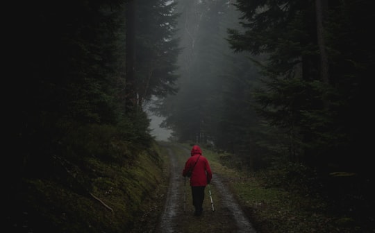
- Hiking through the nothern Black Forest, Southern Germany. | 6.1.18 ...click to read more
- Experienced by @Max Langelott | ©Unsplash
Plan your trip in Bad Herrenalb with AI 🤖 🗺
Roadtrips.ai is a AI powered trip planner that you can use to generate a customized trip itinerary for any destination in Germany in just one clickJust write your activities preferences, budget and number of days travelling and our artificial intelligence will do the rest for you
👉 Use the AI Trip Planner
Why should you visit Bad Herrenalb ?
Travel to Bad Herrenalb if you like:
🌲 ForestWhere to Stay in Bad Herrenalb
Discover the best hotels around Bad Herrenalb, Germany and book your stay today with our booking partner booking.com
More Travel spots to explore around Bad Herrenalb
Click on the pictures to learn more about the places and to get directions
Discover more travel spots to explore around Bad Herrenalb
🌲 Forest spotsTravel map of Bad Herrenalb
Explore popular touristic places around Bad Herrenalb
Download On Google Maps 🗺️📲