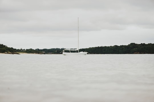
Travel Guide of Saint-Jacut-de-la-Mer in France by Influencers and Travelers
Saint-Jacut-de-la-Mer is a commune in the Côtes-d'Armor département of Brittany in northwestern France.
Download the Travel Map of France on Google Maps here
The Best Things to Do and Visit in Saint-Jacut-de-la-Mer
TRAVELERS TOP 10 :
- Saint-Lunaire
- Pleurtuit
- Microlight flying in Saint-Malo
- Pointe de la Garde
- Saint-Cast-le-Guildo
- Boat Tours in Saint-Malo
- Lancieux
- Dinard
- Plage de l'Ecluse
- Île Harbour
1 - Saint-Lunaire
7 km away
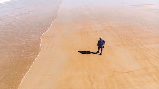
Saint-Lunaire is a commune in the Ille-et-Vilaine department in Brittany in northwestern France. Fantastic viewpoints on the Pointe du Décollé, hill of La Garde Guérin and the Pointe du Nick.
Learn more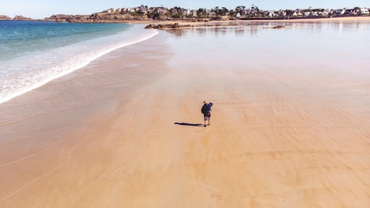
2 - Pleurtuit
10 km away
Pleurtuit is a commune in the Ille-et-Vilaine department of Brittany in northwestern France.
Learn more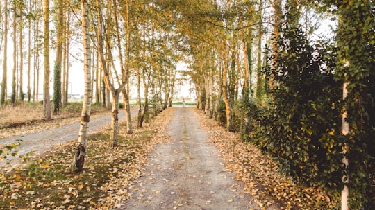
3 - Microlight flying in Saint-Malo
8 km away
Admire one of France's most beautiful heritage sites from the air on this microlight flight over the Bay of Mont Saint-Michel from Dinard! Aboard the aircraft of your choice, this microlight flight over the Bay of Mont Saint-Michel from Dinard will g...
Book this experience
4 - Pointe de la Garde
Pointe de la Torche is a promontory located at the southeastern end of the Baie d'Audierne in the commune of Plomeur in the Bigouden region of Finistère, France.
Learn more Book this experience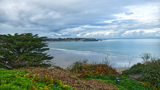
5 - Saint-Cast-le-Guildo
6 km away
Saint-Cast-le-Guildo is a commune in the Côtes-d'Armor department of Brittany in northwestern France. It is port city on the English Channel as it also has a nautical center, the Centre Nautique de Saint- Cast ranked 3rd to 6th in the nation.
Learn more
6 - Boat Tours in Saint-Malo
18 km away
A river in the Côtes-d'Armor region that flows into the English Channel between Dinard and Saint-Malo, on the Emerald Coast, the Rance River is well worth discovering for its biodiversity and history. The best way to do that is to take part in ...
Book this experience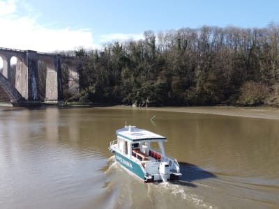
7 - Lancieux
Lancieux is a commune in the Côtes-d'Armor department of Brittany in northwestern France.
Learn more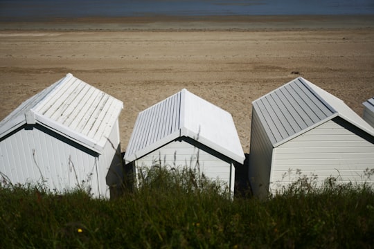
8 - Dinard
11 km away
Dinard is a commune in the Ille-et-Vilaine department in Brittany in northwestern France. Dinard is on the Côte d'Émeraude of Brittany.
Learn more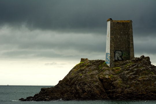
9 - Plage de l'Ecluse
11 km away
Learn more
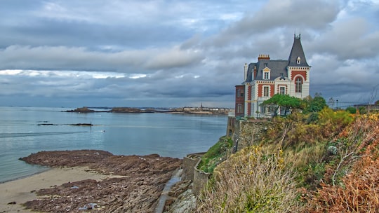
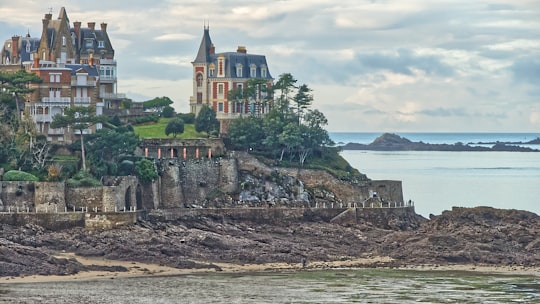
10 - Île Harbour
11 km away
Learn more

11 - Rance
12 km away
The Rance is a river of northwestern France. It flows into the English Channel between Dinard and Saint-Malo. Before reaching the Channel, its waters are barred by a 750 metre long dam forming the Rance tidal power plant.
View on Google Maps Book this experience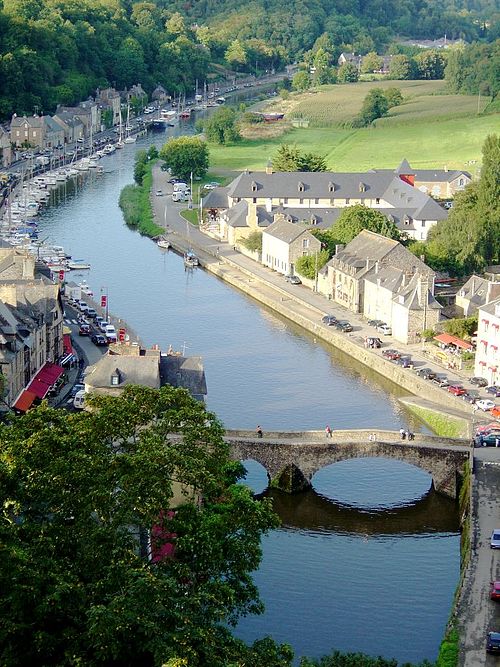
12 - Grand Bé
13 km away
Grand Bé is a tidal island near Saint-Malo, France. It is located at the mouth of the Rance River, a few hundred metres from the walls of Saint-Malo. At low tide the island can be reached on foot from the nearby Bon-Secours beach. On the island are the remains of an ancient fort.
View on Google Maps Book this experience
13 - Petit Bé
13 km away
Petit Bé is a tidal island near the city of Saint-Malo, France, close to the larger island of Grand Bé. At low tide one can walk to the island from the nearby Bon-Secours beach.
View on Google Maps Book this experience
14 - Solidor Tower
13 km away
Solidor Tower is a strengthened keep with three linked towers, located in the estuary of the river Rance in Brittany. It was built between 1369 and 1382 by John V, Duke of Brittany to control access to the Rance at a time when the city of Saint-Malo did not recognize his authority.
View on Google Maps Book this experience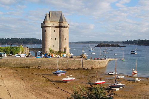
15 - Cap Fréhel
13 km away
Cap Fréhel is a peninsula in Côtes-d'Armor, in northern Brittany, France which extends off the Côte d'Émeraude into the Golfe de Saint-Malo.
Learn more Book this experience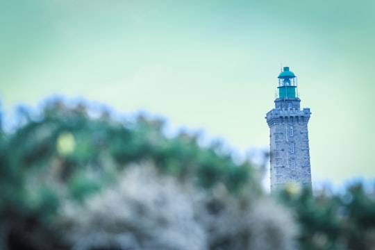

16 - Saint-Malo Cathedral
13 km away
Saint-Malo Cathedral is a Roman Catholic Cathedral located in Saint-Malo, Brittany. The church was founded in dedication to Saint Vincent of Saragossa, and constitutes a national monument of France.
Learn more Book this experience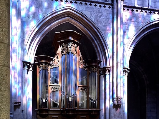
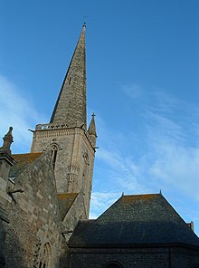
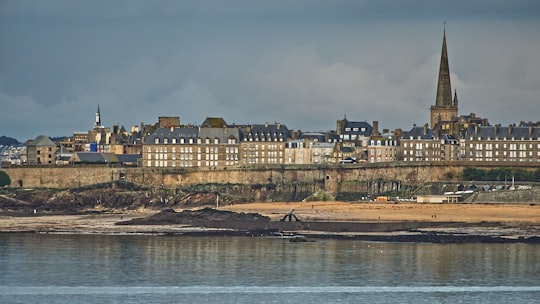
17 - Bastion St. Philip
13 km away
Learn more
Disover the best Instagram Spots around Saint-Jacut-de-la-Mer here
Book Tours and Activities in Saint-Jacut-de-la-Mer
Discover the best tours and activities around Saint-Jacut-de-la-Mer, France and book your travel experience today with our booking partners
Pictures and Stories of Saint-Jacut-de-la-Mer from Influencers
Picture from Erwan Hesry who have traveled to Saint-Jacut-de-la-Mer
Plan your trip in Saint-Jacut-de-la-Mer with AI 🤖 🗺
Roadtrips.ai is a AI powered trip planner that you can use to generate a customized trip itinerary for any destination in France in just one clickJust write your activities preferences, budget and number of days travelling and our artificial intelligence will do the rest for you
👉 Use the AI Trip Planner
Why should you visit Saint-Jacut-de-la-Mer ?
Travel to Saint-Jacut-de-la-Mer if you like:
🏞️ WaterwayWhere to Stay in Saint-Jacut-de-la-Mer
Discover the best hotels around Saint-Jacut-de-la-Mer, France and book your stay today with our booking partner booking.com
More Travel spots to explore around Saint-Jacut-de-la-Mer
Click on the pictures to learn more about the places and to get directions
Discover more travel spots to explore around Saint-Jacut-de-la-Mer
🏞️ Waterway spotsTravel map of Saint-Jacut-de-la-Mer
Explore popular touristic places around Saint-Jacut-de-la-Mer
Download On Google Maps 🗺️📲
