Travel Guide of Oléron in France by Influencers and Travelers
Île d'Oléron is an island off the Atlantic coast of France, on the southern side of the Pertuis d'Antioche strait. It is the second largest island of Metropolitan France, after Corsica, with a length of 30 km and a width of 8 km.
Download the Travel Map of France on Google Maps here
Pictures and Stories of Oléron from Influencers
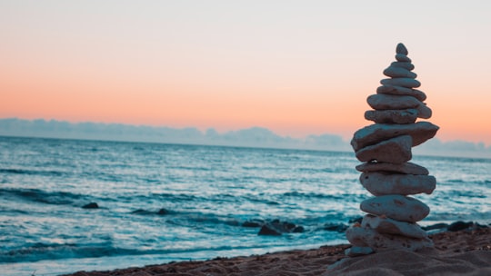
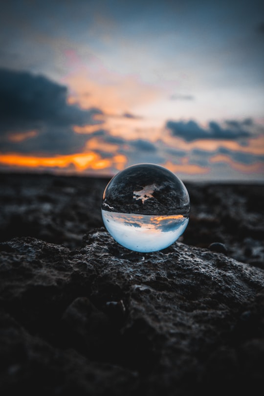
2 pictures of Oléron from Louis Maniquet, Thomas Rey, and other travelers
Plan your trip in Oléron with AI 🤖 🗺
Roadtrips.ai is a AI powered trip planner that you can use to generate a customized trip itinerary for any destination in France in just one clickJust write your activities preferences, budget and number of days travelling and our artificial intelligence will do the rest for you
👉 Use the AI Trip Planner
The Best Things to Do and Visit around Oléron
Disover the best Instagram Spots around Oléron here
1 - Île d'Oléron
Île d'Oléron is an island off the Atlantic coast of France, on the southern side of the Pertuis d'Antioche strait. It is the second largest island of Metropolitan France, after Corsica, with a length of 30 km and a width of 8 km.
Learn more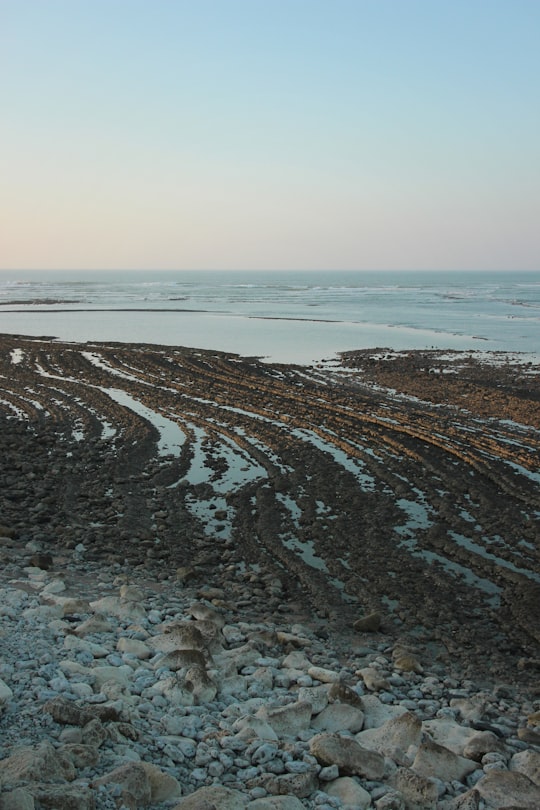

2 - Fort Boyard
13 km away
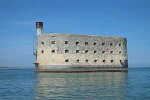
Fort Boyard is a fort located between the Île-d'Aix and the Île d'Oléron in the Pertuis d'Antioche straits, on the west coast of France and is the filming location for the TV gameshow of the same name.
Learn more Book this experience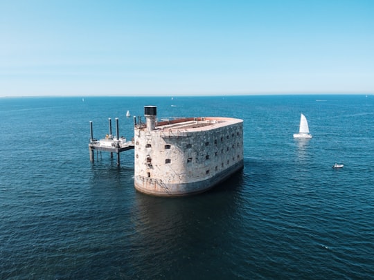
3 - Boat Tours in Oleron Island
Perfectly stable, it guarantees calm and safe sailing, ideal for sharing family time with children and the elderly alike. This catamaran trip from Boyardville gives you the chance to discover the small islands of the Charente during a peaceful cruise...
Learn more
4 - Chassiron
14 km away
Saint-Denis-d'Oléron is a commune in the Charente-Maritime department in southwestern France.
Learn more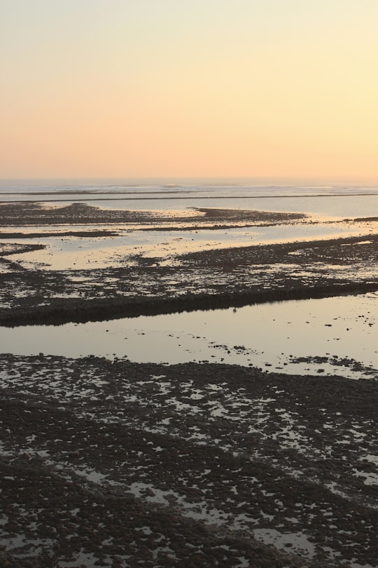

5 - Fouras
14 km away
Fouras, also known as Fouras-les-Bains, is a commune in the Charente-Maritime department in the Nouvelle-Aquitaine region in southwestern France. It lies 34 km south of La Rochelle.
Learn more
6 - Scooter in Oleron Island
7 km away
Discover the island of Oleron by yourself on an all-terrain electric scooter ride! Based directly on the island of Oleron, get on electric all-terrain scooters and go on an adventure on the Charentaise island. A few kilometres from Saint-Pierre-d'Ol&...
Learn more
7 - Île Madame
16 km away
Île Madame is an island in the River Charente estuary on the Atlantic coast of France joined to the mainland by a causeway. The island has an area of four square miles and is unpopulated.
View on Google Maps Book this experience
8 - Charente
18 km away
The Charente is a 381-kilometre long river in southwestern France. Its source is in the Haute-Vienne département at Chéronnac, a small village near Rochechouart. It flows through the departments of Haute-Vienne, Charente, Vienne and Charente-Maritime. The river flows into the Atlantic Ocean near Rochefort.
View on Google Maps Book this experience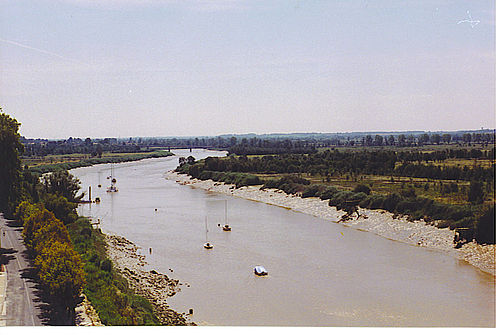
9 - Surfing in Oleron Island
9 km away
Located off of the coast of Nouvelle Aquitaine, Oleron island is part of the beautiful Charente archipelago. Classified as a natural site in France, Oleron island is known for its wild landscapes and sunny weather, the perfect back-drop for water spo...
Learn more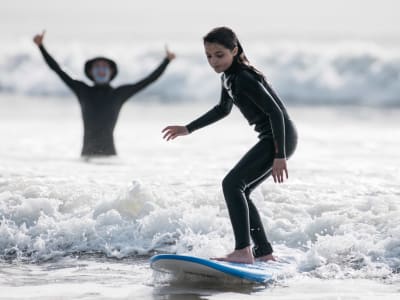
10 - Châtelaillon-Plage
19 km away
Châtelaillon-Plage is a commune in the Charente-Maritime department in southwestern France. It is located south of the city of La Rochelle and is also a suburb. It is twinned with Knebworth in England.
Learn more
11 - Yves
19 km away
Yves is a commune in the Charente-Maritime department in southwestern France. Places and hamlets include: Le Marouillet Les Trois Canons Voutron
Learn more
12 - Bodyboarding in Oleron Island
9 km away
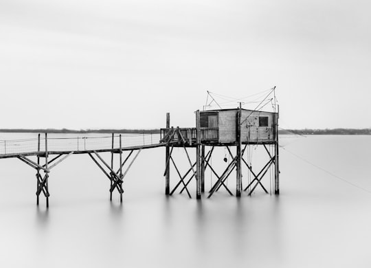
Perfect your bodyboarding skills during a course on the island of Oleron with the instructor of Ganach Surf School! Located in the Bay of Biscay, the island of Oleron is part of the Charente archipelago. Classified as a natural site in France, the is...
Learn more
13 - Forest of la Coubre
21 km away
The Forest of la Coubre is a large forest in the region of Nouvelle-Aquitaine, near the city of Royan. Its area is roughly 7916 hectares, making it the third largest forêt domaniale of the north of the region, behind forest of la Double and the forest d'Horte.
View on Google Maps Book this experience
14 - Lighthouse of La Coubre
23 km away
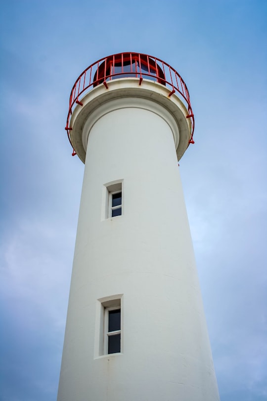
The La Coubre Lighthouse is a lighthouse located in La Tremblade, in Charente-Maritime, in France. It is 64 metres high and is the highest in the department. A museum tells the history of the different lighthouses that have existed in the region. It is possible to climb to the top from February to November.
View on Google Maps Book this experience
15 - Sea Kayaking in La Rochelle
15 km away
Admire the colours of the sunset and their reflections on the water on board your kayak, from Fouras! Sitting in your kayak during sunset, you can witness one of nature's most beautiful spectacles. Rejuvenate as the sun descends towards the horizon, ...
Learn more
16 - Rivedoux-Plage
23 km away
Rivedoux-Plage is a commune in the Charente-Maritime department in southwestern France. It is situated on the Île de Ré. The commune includes the beach of Sablanceau.
Learn more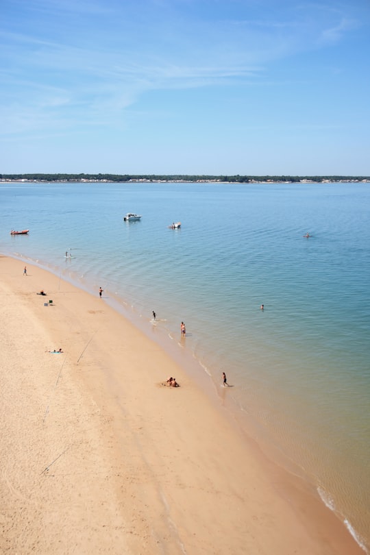
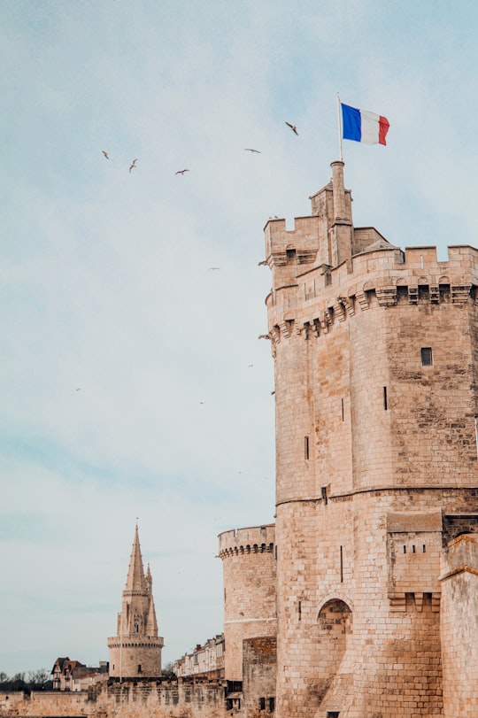
17 - Tour Saint-Nicolas de La Rochelle
24 km away
Learn more
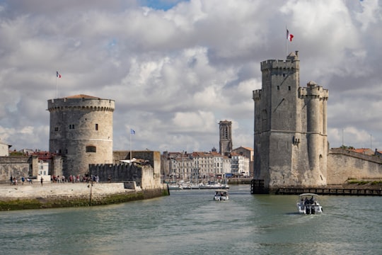
18 - Harbour Towers
24 km away
Learn more
19 - La Rochelle
25 km away
La Rochelle is a city in western France and a seaport on the Bay of Biscay, a part of the Atlantic Ocean. It is the capital of the Charente-Maritime department. The city is connected to the Île de Ré by a 2.9-kilometre bridge completed on 19 May 1988. Its harbour opens into a protected strait, the Pertuis d'Antioche.
Learn more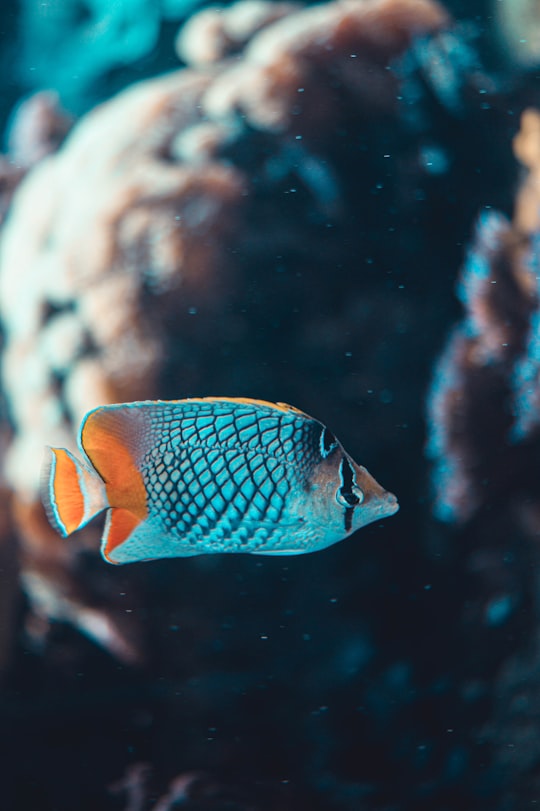
20 - La Flotte
26 km away
La Flotte is a commune in the Charente-Maritime department in southwestern France. It is situated on the Île de Ré.
Learn more
21 - Corderie Royale
27 km away
The Corderie Royale International de la mer is a vast museum complex located in the heart of the maritime Arsenal de Rochefort.
View on Google Maps Book this experience
22 - Île de Ré
28 km away
Île de Ré is an island off the west coast of France near La Rochelle, on the northern side of the Pertuis d'Antioche strait. Its highest point has an elevation of 20 metres. It is 30 kilometres long and five kilometres wide.
Learn more Book this experience
23 - Âne en culotte
29 km away
Learn more
24 - La Palmyre
30 km away
Learn more
25 - Ars-en-Ré
34 km away
Ars-en-Ré is a commune on the Île de Ré in the Charente-Maritime department in the Nouvelle-Aquitaine region of southwestern France. Formerly called just Ars, the commune changed to its current name on 8 March 1962.
Learn more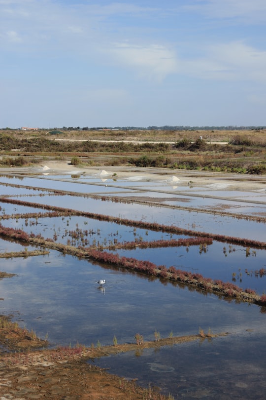
Book Tours and Activities in Oléron
Discover the best tours and activities around Oléron, France and book your travel experience today with our booking partners
Where to Stay near Oléron
Discover the best hotels around Oléron, France and book your stay today with our booking partner booking.com
More Travel spots to explore around Oléron
Click on the pictures to learn more about the places and to get directions
Discover more travel spots to explore around Oléron
🏖️ Beach spots 🌊 Ocean spots 🏖️ Shore spotsTravel map of Oléron
Explore popular touristic places around Oléron
Download On Google Maps 🗺️📲
