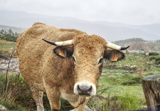
Travel Guide of Fraissinet-de-Lozère in France by Influencers and Travelers
Fraissinet-de-Lozère is a former commune in the Lozère department in southern France. On 1 January 2016, it was merged into the new commune of Pont-de-Montvert-Sud-Mont-Lozère. Its population was 198 in 2017.
Download the Travel Map of France on Google Maps here
The Best Things to Do and Visit in Fraissinet-de-Lozère
TRAVELERS TOP 10 :
- Mont Lozère
- Cévennes
- Canyoning in Cevennes National Park
- Parc national des Cévennes
- Gorges du Tarn
- Génolhac
- Sainte-Enimie
- Mont Aigoual
- Les Vans
- Aumessas
1 - Mont Lozère
6 km away
Mont Lozère is the highest peak in the Cévennes, a subrange of the Massif Central in France. It is 1,699 metres above sea level and lies within the Cévennes National Park. Mont Lozère is commonly used for skiing during the winter months. It is also a popular destination for student groups during the summer months.
View on Google Maps Book this experience
2 - Cévennes
6 km away
The Cévennes is a cultural region and range of mountains in south-central France, on the south-east edge of the Massif Central. It covers parts of the départements of Ardèche, Gard, Hérault and Lozère.
View on Google Maps Book this experience
3 - Canyoning in Cevennes National Park
21 km away
The magnificent Canyon du Tapoul is found in the heart of Cévennes National Park! Canyoning consists of going downriver, in order to do this you'll be swimming, gliding, using natural waterslides and abseiling down waterfalls. The darede...
Book this experience
4 - Parc national des Cévennes
10 km away
The Cévennes National Park is a national park located in southern France, in the mountainous area of Cévennes. Created in 1970, the park has its administrative seat in Florac at Florac Castle.
Learn more Book this experience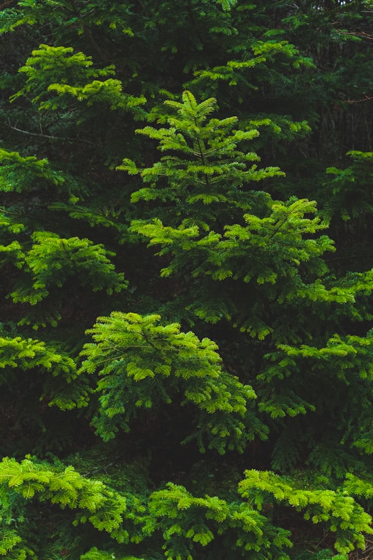
5 - Gorges du Tarn
14 km away
The Gorges du Tarn is a canyon formed by the Tarn between the Causse Méjean and the Causse de Sauveterre, in southern France. The canyon, mainly located in the Lozère département, and partially in the Aveyron département, is about 53 kilometres-long and 400 m to 600 m deep.
View on Google Maps Book this experience
6 - Génolhac
20 km away
Génolhac is a commune in the Gard department in southern France.
Learn more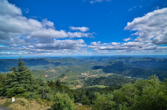
7 - Sainte-Enimie
23 km away
Sainte-Enimie is a former commune in the Lozère department in southern France. On 1 January 2017, it was merged into the new commune Gorges du Tarn Causses.
Learn more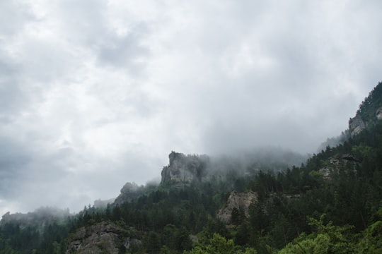
8 - Mont Aigoual
30 km away
Mont Aigoual is the highest point of the Gard département, France. It is part of the Massif Central, and it is located within the Cévennes National Park. Its southern slopes are the source of the river Hérault flowing into the Mediterranean.
View on Google Maps Book this experience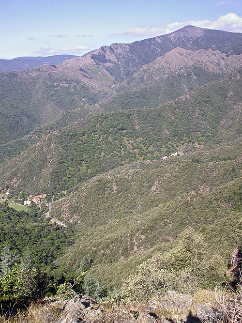
9 - Les Vans
34 km away
Les Vans is a commune in the Ardèche department in the Auvergne-Rhône-Alpes region of southern France.
Learn more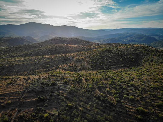
10 - Aumessas
45 km away
Aumessas is a commune in the Gard department in southern France.
Learn more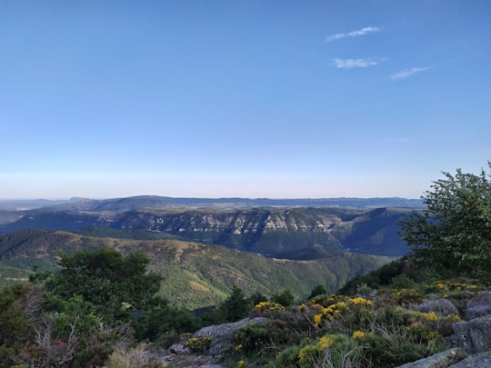
11 - Pradelles
46 km away
Pradelles is a commune in the Haute-Loire department in south-central France. The Robert Louis Stevenson Trail, a popular long-distance path, runs through the town, though Stevenson stayed here less than an hour during his 1878 journey, described in the book Travels with a Donkey in the Cévennes.
Learn more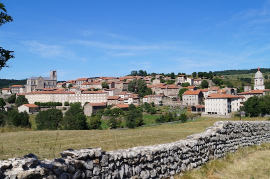
12 - Saint-Laurent-le-Minier
49 km away
Saint-Laurent-le-Minier is a commune in the Gard department in southern France.
Learn more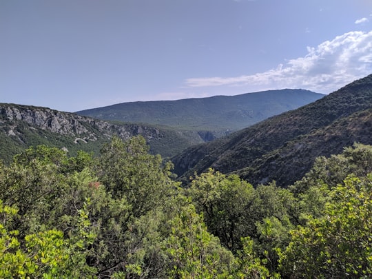
Disover the best Instagram Spots around Fraissinet-de-Lozère here
Book Tours and Activities in Fraissinet-de-Lozère
Discover the best tours and activities around Fraissinet-de-Lozère, France and book your travel experience today with our booking partners
Pictures and Stories of Fraissinet-de-Lozère from Influencers
Picture from Mat Laurent who have traveled to Fraissinet-de-Lozère
Plan your trip in Fraissinet-de-Lozère with AI 🤖 🗺
Roadtrips.ai is a AI powered trip planner that you can use to generate a customized trip itinerary for any destination in France in just one clickJust write your activities preferences, budget and number of days travelling and our artificial intelligence will do the rest for you
👉 Use the AI Trip Planner
Why should you visit Fraissinet-de-Lozère ?
Travel to Fraissinet-de-Lozère if you like:
⛰️ Hill station ⛰️ Hill 🌲 Tropical and subtropical coniferous forests ⛰️ Mountain range 🌲 ForestWhere to Stay in Fraissinet-de-Lozère
Discover the best hotels around Fraissinet-de-Lozère, France and book your stay today with our booking partner booking.com
More Travel spots to explore around Fraissinet-de-Lozère
Click on the pictures to learn more about the places and to get directions
Discover more travel spots to explore around Fraissinet-de-Lozère
🐾 Wildlife spotsTravel map of Fraissinet-de-Lozère
Explore popular touristic places around Fraissinet-de-Lozère
Download On Google Maps 🗺️📲
