Travel Guide of Cauterets in France by Influencers and Travelers
Cauterets is a spa town, a ski resort and a commune in the Hautes-Pyrénées department and the region of Occitanie in south-western France.
Download the Travel Map of France on Google Maps here
Pictures and Stories of Cauterets from Influencers
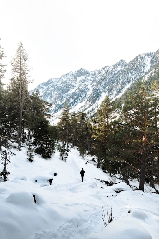
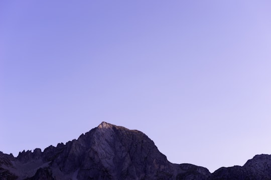
3 pictures of Cauterets from Vincent Guth, Julentto Photography, Arnaud Devautour and other travelers
Plan your trip in Cauterets with AI 🤖 🗺
Roadtrips.ai is a AI powered trip planner that you can use to generate a customized trip itinerary for any destination in France in just one clickJust write your activities preferences, budget and number of days travelling and our artificial intelligence will do the rest for you
👉 Use the AI Trip Planner
The Best Things to Do and Visit around Cauterets
Disover the best Instagram Spots around Cauterets here
1 - Pont d'Espagne
Pont d'Espagne is a stone-built bridge that spans the Gave de Marcadau at the point where it meets the Gave de Gaube, near one of its sources high in the French Pyrenees. It is a protected area of the Pyrénées in the Pyrénées National Park. The Pont d'Espagne is at an altitude of approx 1500m. The name translates as Spanish Bridge. The bridge used to join Spain and France through the mountains. Google Satellite Map There is a car park nearby and it is possible to get to Lac de Gaube by ski lift. The nearest towns are Cauterets and Lourdes.
Learn more Book this experience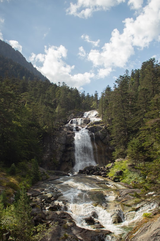

2 - Bosque de los Pirineos
Learn more
3 - Snowshoeing in Cauterets
There's something magical when discovering the Pyrenees at night. Once plunged in the dark, the mountains unveil a more intimate and mysterious face. What an incredible privilege! Acumpanyat offers you the amazing opportunity to discover the mountain...
Learn more
4 - Gaube Lake
7 km away
Gaube Lake is a lake in the French Pyrenees, in the department of the Hautes-Pyrénées, near the town of Cauterets.
Learn more Book this experience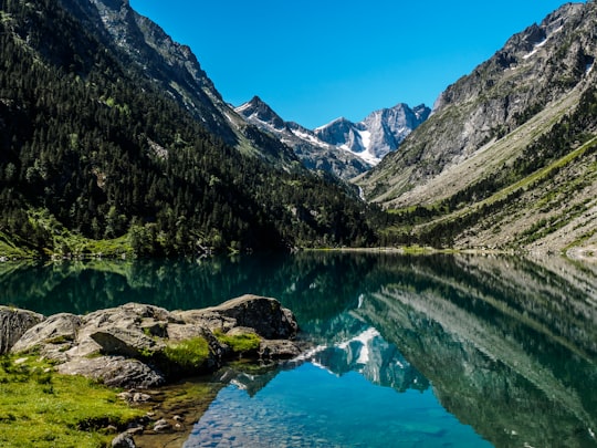

5 - Pyrénées National Park
9 km away
The Pyrénées National Park is a National Park of France located within the French departments of Hautes-Pyrénées and Pyrénées-Atlantiques.
Learn more Book this experience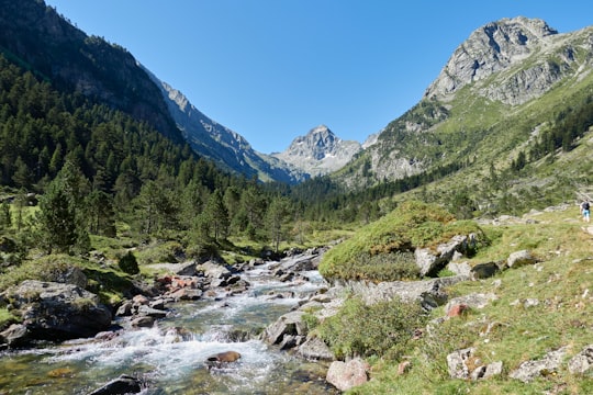

6 - Hiking / Trekking in Gavarnie
Enjoy a beautiful hike in the heart of the Pyrenees National Park and explore the Cirque de Gavarnie until Spain! This hiking excursion is accessible to anyone in good physical shape who is used to hiking in the mountains. Programme:- Departure from ...
Learn more
7 - Luz-Saint-Sauveur
9 km away
Luz-Saint-Sauveur is a commune in the Hautes-Pyrénées department in the Occitan region of south-western France. Locals simply call it Luz, the city took its current name from Luz-Saint-Sauveur on April 9, 1962. Its inhabitants are called the Luzeans.
Learn more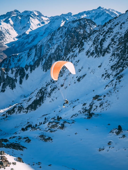
8 - Vignemale
11 km away
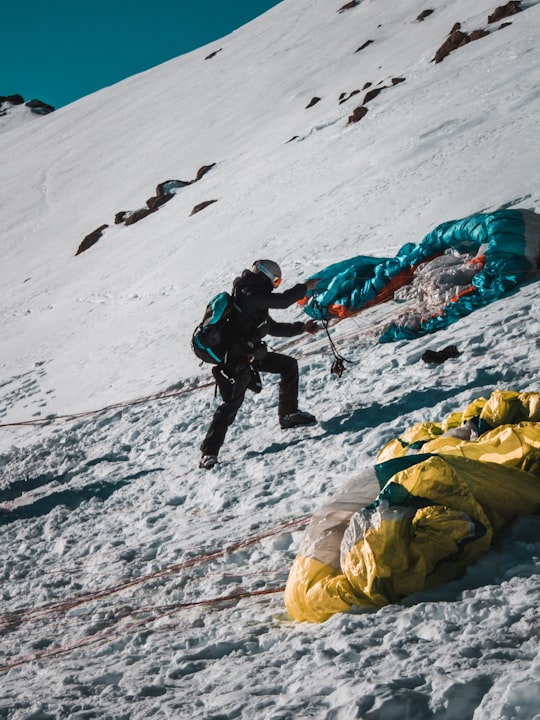
The Vignemale, at 3,298 metres, is the highest of the French Pyrenean summits. It lies on the border between the Department of Hautes-Pyrénées, in Occitanie and Gascony, France and Sobrarbe, in Huesca, Aragon, Spain, and the peak is split between the two countries.
View on Google Maps Book this experience
9 - Snowshoe rental in Cauterets
Snowshoes are the ideal accessory for winter adventures in the snowy mountains. Thanks to their specific structure and crampons, they offer optimum stability and grip on all types of snow, whether powder, compact or icy.With this snowshoe rental serv...
Learn more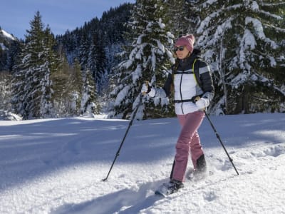
10 - Hautacam
12 km away
Hautacam is a ski resort in the Pyrenees. It is situated in the Hautes-Pyrénées department, in the Midi-Pyrénées region. In road bicycle racing, the ascent to Hautacam is known as a tough climb, which is used occasionally in the Tour de France.
View on Google Maps Book this experience
11 - Betpouey
12 km away
Betpouey is a commune in the Hautes-Pyrénées department in southwestern France.
Learn more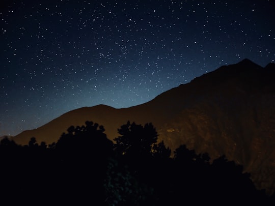

12 - Mountain bike in Cauterets
The Cirque du Lys ski resort gives way to the Bike park in the summer. So don't wait any longer and come and ride down the Cirque du Lys slopes specially equipped for mountain biking! Reach the top of the resort, which rises to over 2400 m, from the...
Learn more
13 - Argelès-Gazost
13 km away
Argelès-Gazost is a commune in the Hautes-Pyrénées department in southwestern France. The Pyrénées Animal Park is located in Argelès-Gazost.
Learn more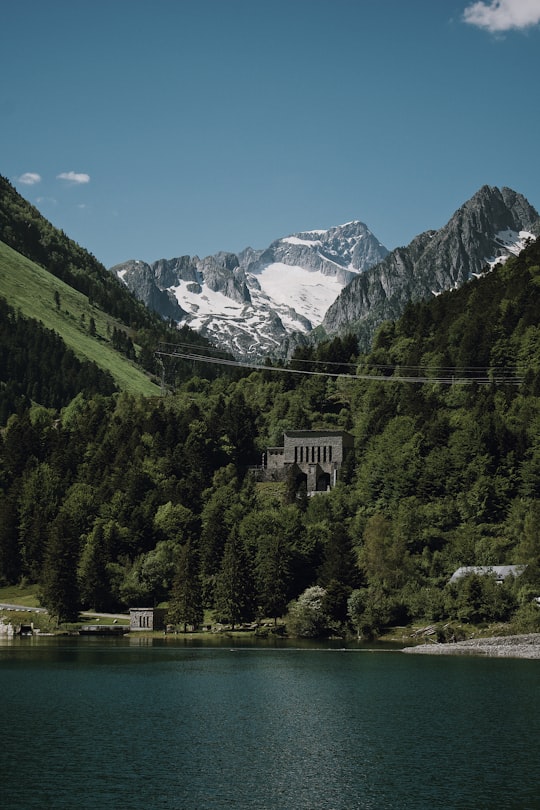
14 - Col du Soulor
15 km away
Col du Soulor is a mountain pass in the Pyrenees in France, linking Argelès-Gazost with Arthez-d'Asson. It connects the Ouzom and Arens valleys. A road leaves the pass to the west to reach the higher Col d'Aubisque.
View on Google Maps Book this experience
15 - Rafting in Hautes-Pyrénées
9 km away
Enjoy the thrills of rafting down the Gave de Pau from Villelongue with family and friends in the Hautes-Pyrénées! Aboard a classic, very stable 4 to 8-seater raft, you can descend the rapids of the Gave de Pau in the Hautes-Pyré...
Learn more
16 - Lac de la Glère
17 km away
The canton of Maîche is an administrative division of the Doubs department, eastern France. Its borders were modified at the French canton reorganisation which came into effect in March 2015. Its seat is in Maîche. It consists of the following communes: Abbévillers Autechaux-Roide Belfays Bief Blamont Bondeval Les Bréseux Burnevillers Cernay-l'Église Chamesol Charmauvillers Charquemont Courtefontaine Dampjoux Damprichard Dannemarie Les Écorces Écurcey Ferrières-le-Lac Fessevillers Fleurey Fournet-Blancheroche Frambouhans Froidevaux Glay Glère Goumois Indevillers Liebvillers Maîche Mancenans-Lizerne Meslières Montancy Montandon Mont-de-Vougney Montécheroux Montjoie-le-Château Orgeans-Blanchefontaine Pierrefontaine-lès-Blamont Les Plains-et-Grands-Essarts Roches-lès-Blamont Saint-Hippolyte Soulce-Cernay Les Terres-de-Chaux Thiébouhans Thulay Trévillers Urtière Valoreille Vaufrey Villars-lès-Blamont
Learn more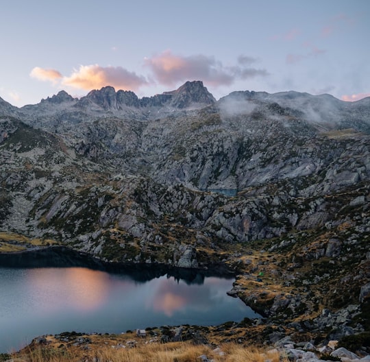
17 - Gavarnie
19 km away
Gavarnie is a former commune in the Hautes-Pyrénées department in south-western France. On 1 January 2016, it was merged into the new commune of Gavarnie-Gèdre.
Learn more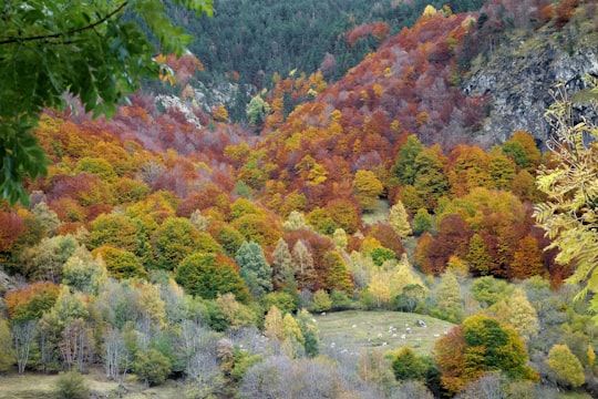
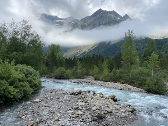
18 - Lac Dets Coubous
19 km away
Learn more
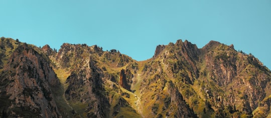
19 - Gourette
20 km away
Gourette is a winter sports resort in the French Pyrenees. It is located in the commune of Eaux-Bonnes in the département of Pyrénées-Atlantiques, on the D 918 road which passes through the Col d'Aubisque mountain pass.
View on Google Maps Book this experience
20 - Pic du Midi de Bigorre
21 km away
The Pic du Midi de Bigorre or simply the Pic du Midi is a mountain in the French Pyrenees. It is the site of the Pic du Midi Observatory.
Learn more Book this experience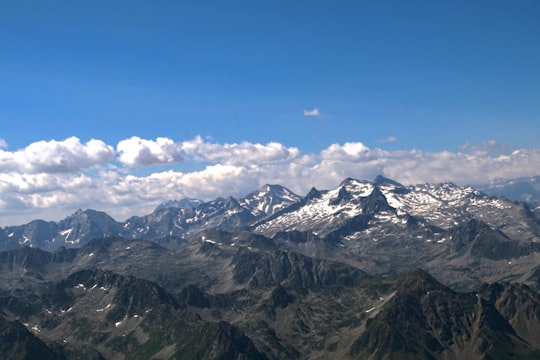

21 - Col du Tourmalet
21 km away
Col du Tourmalet is one of the highest paved mountain passes in the French Pyrenees, in the department of Hautes-Pyrénées. Sainte-Marie-de-Campan is at the foot on the eastern side and the ski station La Mongie two-thirds of the way up.
Learn more Book this experience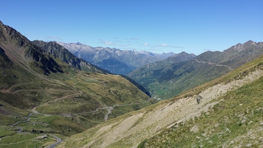
22 - Vallée de Lesponne
21 km away
Lac Bleu de Lesponne is a lake in Hautes-Pyrénées, France. At an elevation of 1977 m, its surface area is 0.51 km².
Learn more Book this experience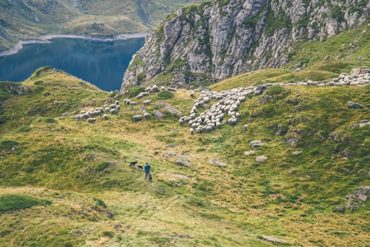
23 - Lac d'Orédon
22 km away
Lac d'Orédon is a lake raised by a dam in Hautes-Pyrénées, France. At an elevation of 1849 m, its surface area is 0.46 km². It was one of the first lakes of the Pyrenees to have been built in the 17th century.
View on Google Maps Book this experience
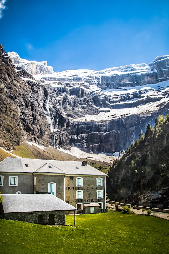
24 - Hôtel du Cirque
22 km away
Learn more
25 - Cirque de Gavarnie
23 km away
The Cirque de Gavarnie is a cirque in the central Pyrenees, in Southwestern France, close to the border of Spain. It is within the commune of Gavarnie, the department of Hautes-Pyrénées, and the Pyrénées National Park.
Learn more Book this experience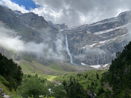

Book Tours and Activities in Cauterets
Discover the best tours and activities around Cauterets, France and book your travel experience today with our booking partners
Where to Stay near Cauterets
Discover the best hotels around Cauterets, France and book your stay today with our booking partner booking.com
More Travel spots to explore around Cauterets
Click on the pictures to learn more about the places and to get directions
Discover more travel spots to explore around Cauterets
⛰️ Mountain range spots ❄️ Glacial landform spots 🌲 Forest spots ⛰️ Mountain spots 🏞️ Mountain river spots 🌲 Nature reserve spots 🏞️ River spots 🌋 Stratovolcano spots ⛰️ Summit spots ❄️ Fjord spots 🏞️ Waterfall spots ⛰️ Highland spots 🏞️ Loch spotsTravel map of Cauterets
Explore popular touristic places around Cauterets
Download On Google Maps 🗺️📲
