Travel Guide of Saaremaa in Estonia by Influencers and Travelers
Saaremaa is the largest island in Estonia, measuring 2,673 km². The main island of Saare County, it is located in the Baltic Sea, south of Hiiumaa island and west of Muhu island, and belongs to the West Estonian Archipelago.
Pictures and Stories of Saaremaa from Influencers
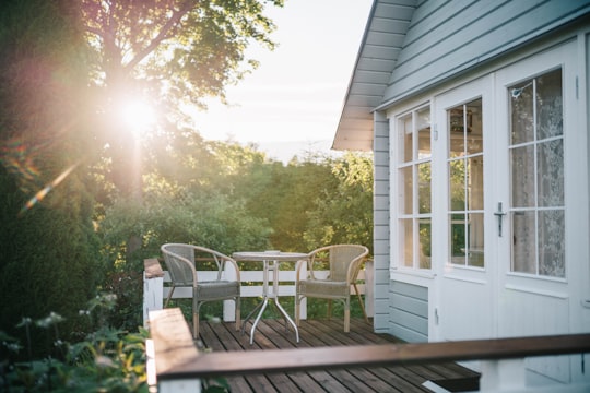
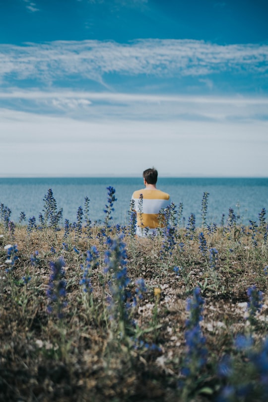
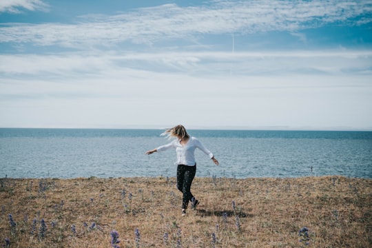
4 pictures of Saaremaa from Birgit Loit, , and other travelers
Plan your trip in Saaremaa with AI 🤖 🗺
Roadtrips.ai is a AI powered trip planner that you can use to generate a customized trip itinerary for any destination in Estonia in just one clickJust write your activities preferences, budget and number of days travelling and our artificial intelligence will do the rest for you
👉 Use the AI Trip Planner
The Best Things to Do and Visit around Saaremaa
Disover the best Instagram Spots around Saaremaa here
1 - Panga Cliff
21 km away
Panga Cliff is a coastal cliff located on the northern shore of Saaremaa, at the end of the Kuressaare - Võhma road, close to Panga village. It is the highest of the Saaremaa and Muhu cliffs, reaching a height of 20 meters. The entire cliff is approximately 2.5 km long. Panga cliff consists of at least three terraces.
View on Google Maps Book this experience
2 - Kuressaare
27 km away
Kuressaare is a town on Saaremaa island in Estonia. It is the administrative centre of Saaremaa Parish and the capital of Saare County. Kuressaare is the westernmost town in Estonia. The recorded population on 1 January 2018 was 13,276.
Learn more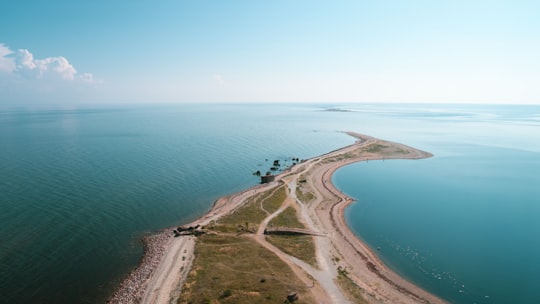
3 - Hiiumaa
45 km away
Hiiumaa is the second largest island in Estonia and is part of the West Estonian archipelago, in the Baltic Sea. It has an area of 989 km² and is 22 km from the Estonian mainland. Its largest town is Kärdla. It is located within Hiiu County.
Learn more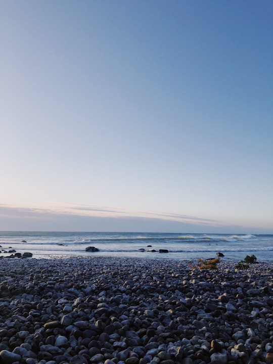
Book Tours and Activities in Saaremaa
Discover the best tours and activities around Saaremaa, Estonia and book your travel experience today with our booking partners
Where to Stay near Saaremaa
Discover the best hotels around Saaremaa, Estonia and book your stay today with our booking partner booking.com
More Travel spots to explore around Saaremaa
Click on the pictures to learn more about the places and to get directions
Discover more travel spots to explore around Saaremaa
🏘️ Cottage spots 🏖️ Shore spotsTravel map of Saaremaa
Explore popular touristic places around Saaremaa

