Travel Guide of Bamfield in Canada by Influencers and Travelers
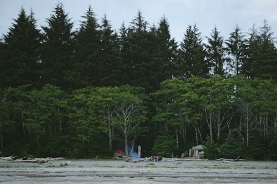
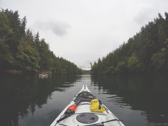
Bamfield is a community that is surrounded by Crown Land, First Nation Lands belonging to the Huu-ay-aht Nations, and portions of the Pacific Rim National Park, located on Barkley Sound, Vancouver Island in British Columbia.
Download the Travel Map of Canada on Google Maps here
The Best Things to Do and Visit in Bamfield
TRAVELERS TOP 4 :
1 - Ucluelet
37 km away
Ucluelet is a district municipality on the Ucluelet Peninsula on the west coast of Vancouver Island in British Columbia, Canada. Ucluelet means "people of the safe harbour" in the indigenous Nuu-chah-nulth language. As of 2021, its population was 2,066, a 20.3% increase from 1,717 in 2016.
Learn more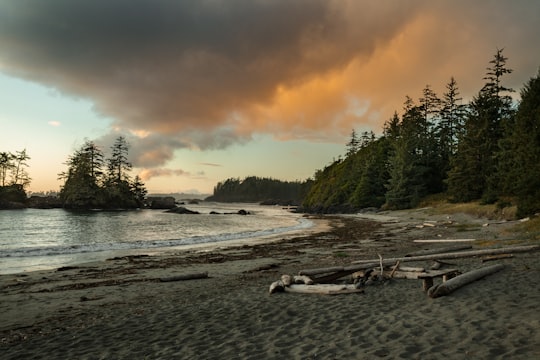
2 - Alberni-Clayoquot
38 km away
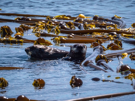
The Alberni–Clayoquot Regional District of British Columbia is located on west central Vancouver Island. Adjacent regional districts it shares borders with are the Strathcona and Comox Valley Regional Districts to the north, and the Nanaimo and Cowichan Valley Regional Districts to the east.
Learn more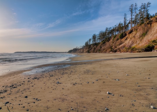
3 - Sproat Lake
49 km away
Sproat Lake is a lake on central Vancouver Island in British Columbia, Canada. It was known as Kleecoot, meaning "wide open" by local indigenous people.
Learn more Book this experience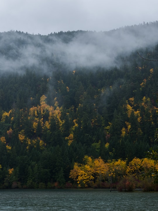
4 - Clayoquot Lake
49 km away
Learn more
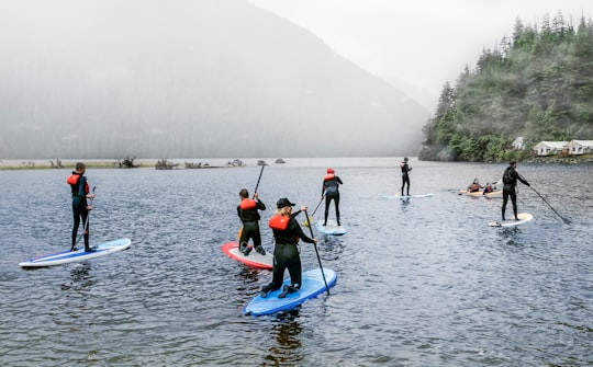
Disover the best Instagram Spots around Bamfield here
Book Tours and Activities in Bamfield
Discover the best tours and activities around Bamfield, Canada and book your travel experience today with our booking partners
Pictures and Stories of Bamfield from Influencers
2 pictures of Bamfield from Laura Lefurgey-Smith, , and other travelers
Plan your trip in Bamfield with AI 🤖 🗺
Roadtrips.ai is a AI powered trip planner that you can use to generate a customized trip itinerary for any destination in Canada in just one clickJust write your activities preferences, budget and number of days travelling and our artificial intelligence will do the rest for you
👉 Use the AI Trip Planner
Why should you visit Bamfield ?
Travel to Bamfield if you like:
🚣♂️ Kayaking 🌲 ForestWhere to Stay in Bamfield
Discover the best hotels around Bamfield, Canada and book your stay today with our booking partner booking.com
More Travel spots to explore around Bamfield
Click on the pictures to learn more about the places and to get directions
Discover more travel spots to explore around Bamfield
🌲 Forest spots 🚣♂️ Kayaking spotsTravel map of Bamfield
Explore popular touristic places around Bamfield
Download On Google Maps 🗺️📲
