Travel Guide of Pitt River in Canada by Influencers and Travelers
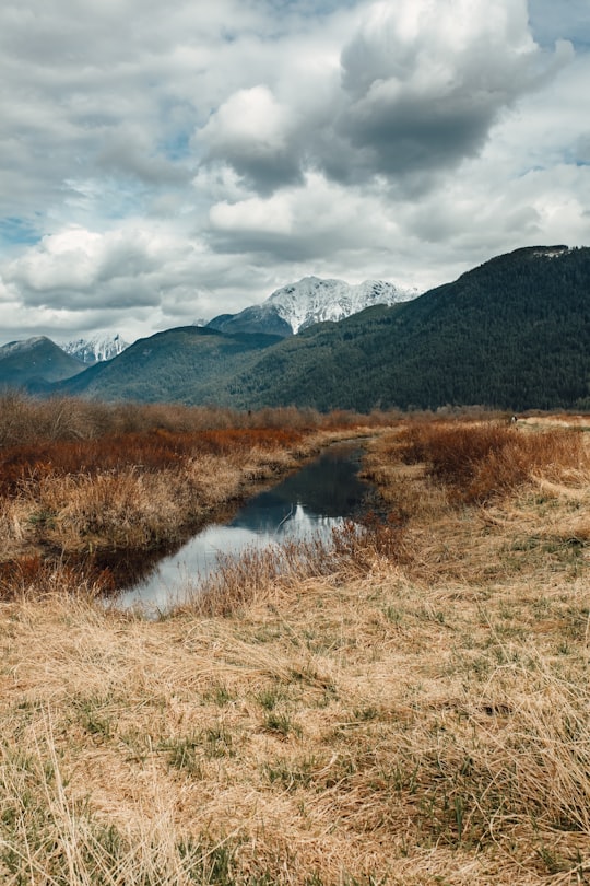
The Pitt River in British Columbia, Canada is a large tributary of the Fraser River, entering it a few miles upstream from New Westminster and about 25 km ESE of Downtown Vancouver.
Download the Travel Map of Canada on Google Maps here
Pictures and Stories of Pitt River from Influencers
Picture from Eva Waardenburg Photography who have traveled to Pitt River
Plan your trip in Pitt River with AI 🤖 🗺
Roadtrips.ai is a AI powered trip planner that you can use to generate a customized trip itinerary for any destination in Canada in just one clickJust write your activities preferences, budget and number of days travelling and our artificial intelligence will do the rest for you
👉 Use the AI Trip Planner
The Best Things to Do and Visit around Pitt River
Disover the best Instagram Spots around Pitt River here
1 - Pitt River Bridge
8 km away
The Pitt River Bridge is a cable-stayed bridge that spans the Pitt River between Port Coquitlam and Pitt Meadows in British Columbia, Canada. The bridge is part of Highway 7, carrying Lougheed Highway across the river. The current bridge opened on October 4, 2009.
Learn more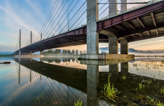

2 - Coquitlam
9 km away
Coquitlam is a city in the Lower Mainland of British Columbia, Canada. Mainly suburban, Coquitlam is the sixth-largest city in the province, with a population of 148,625 in 2021, and one of the 21 municipalities comprising Metro Vancouver.
Learn more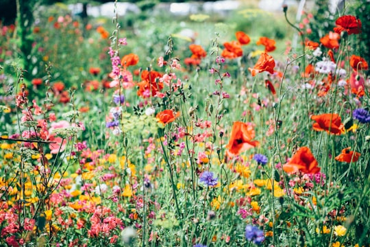
3 - Golden Ears Provincial Park
11 km away
Golden Ears Provincial Park is a Provincial park in British Columbia, Canada and is 555.9 square kilometres. It is named after the prominent twin peaks which are commonly referred to as Golden Ears.
Learn more Book this experience
4 - Buntzen Lake
15 km away
Buntzen Lake is a 4.8 kilometres long lake in Anmore, British Columbia, Canada, in the Greater Vancouver area. It is named after the first general manager of the B.C. Electric Co., Johannes Buntzen. There is a smaller lake just to the north named McCombe Lake.
Learn more Book this experience

5 - Sasamat Lake
16 km away
Sasamat Lake is located within Belcarra Regional Park in Port Moody, British Columbia. It is one of the warmest lakes in Greater Vancouver. At the south end of the lake there is a floating bridge, used for fishing or swimming. At the north end of the lake is White Pine Beach. Seasonal transit service is provided by TransLink to White Pine Beach.
Learn more Book this experience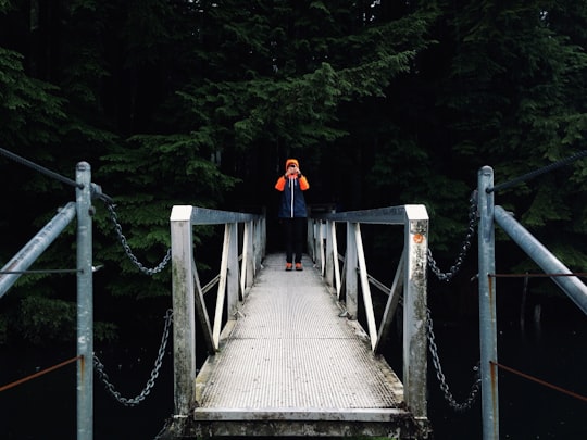

6 - Mount Seymour
23 km away
Mount Seymour is a mountain located in Mount Seymour Provincial Park in the District of North Vancouver, British Columbia, Canada.
Learn more Book this experience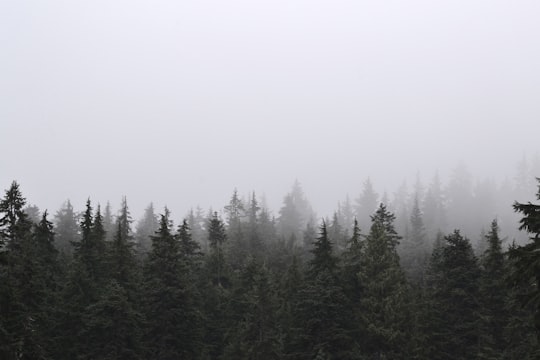
7 - Science World
25 km away
Science World is a science centre run by a not-for-profit organization of the same name in Vancouver, British Columbia, Canada.
Learn more Book this experience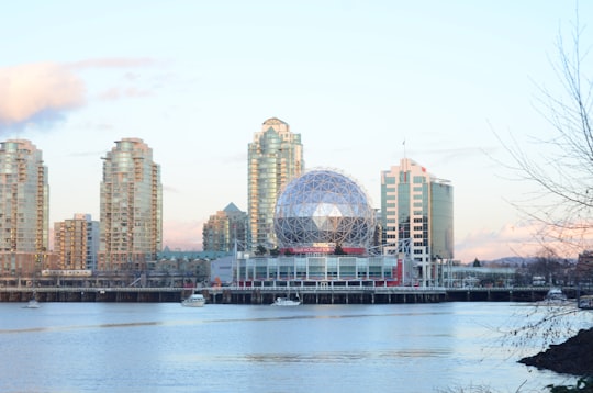

8 - Queen Elizabeth Park
25 km away
Queen Elizabeth Park is a 130-acre municipal park located in Vancouver, British Columbia, Canada. It is located on top of Little Mountain and is the location of former basalt quarries that were dug in the beginning of the twentieth century to provide material for roads in the city.
Learn more Book this experience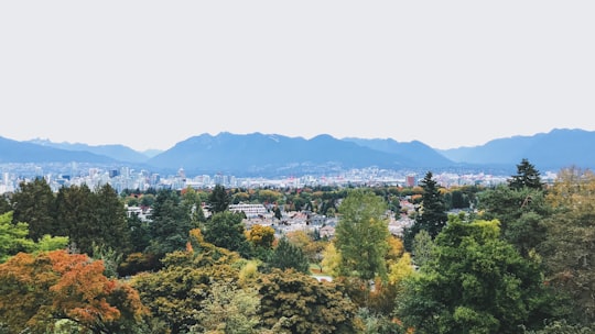
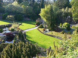
9 - Vancouver Convention Centre
26 km away
The Vancouver Convention Centre is a convention centre in Vancouver, British Columbia, Canada; it is one of Canada's largest convention centres. With the opening of the new West Building in 2009, it now has 43,340 square metres of meeting space.
Learn more Book this experience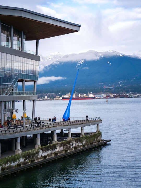

10 - Lynn Canyon Ecology Centre
26 km away
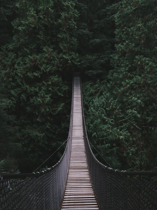
Learn more Book this experience
11 - George Wainborn Park
27 km away
George Wainborn Park is a 2.5-hectare park along False Creek, located in downtown Vancouver, British Columbia, Canada. It was opened in 2004 and named after George Wainborn, who served as Vancouver's Parks Commissioner for 33 years.
Learn more Book this experience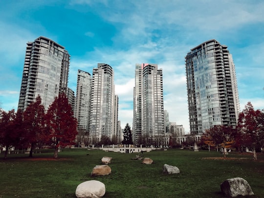

12 - Granville Island
27 km away
Granville Island is a peninsula and shopping district in Vancouver, British Columbia, Canada. It is located across False Creek from Downtown Vancouver under the south end of the Granville Street Bridge.
Learn more Book this experience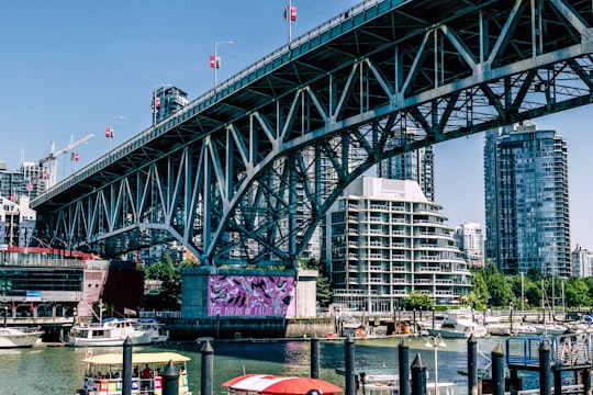

13 - Stanley Park
28 km away
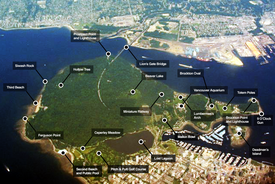
Stanley Park is a 405-hectare public park that borders the downtown of Vancouver in British Columbia, Canada and is mostly surrounded by waters of Burrard Inlet and English Bay.
Learn more Book this experience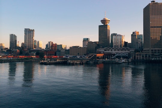
14 - Vancouver Aquarium
28 km away
The Vancouver Aquarium is a public aquarium located in Stanley Park in Vancouver, British Columbia, Canada. In addition to being a major tourist attraction for Vancouver, the aquarium is a centre for marine research, ocean literacy education, conservation and marine animal rehabilitation.
Learn more Book this experience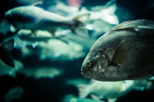

15 - Vanier Park
28 km away
Vanier Park is a municipal park located in the Kitsilano neighbourhood of Vancouver, British Columbia, Canada, created in 1967. It is home to the Museum of Vancouver, the Vancouver Maritime Museum, the City of Vancouver Archives, and the H.R. MacMillan Space Centre.
Learn more Book this experience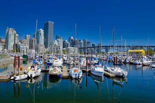

16 - Lions Gate Bridge
29 km away
The Lions Gate Bridge, opened in 1938 and officially known as the First Narrows Bridge, is a suspension bridge that crosses the first narrows of Burrard Inlet and connects the City of Vancouver, British Columbia, to the North Shore municipalities of the District of North Vancouver, the City of North Vancouver, and West Vancouver.
Learn more Book this experience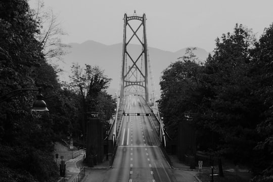

17 - Capilano River Regional Park
29 km away
Capilano River Regional Park is located in the District of North Vancouver in British Columbia, Canada. It is one of twenty-one regional parks operated by the Metro Vancouver.
Learn more Book this experience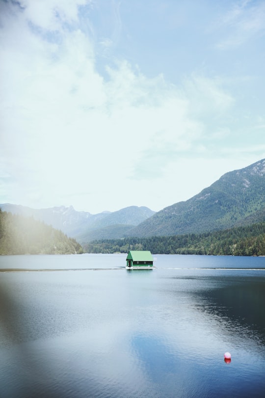
18 - Kitsilano Beach
29 km away
Kitsilano Beach is one of the most popular beaches in Vancouver, especially in the warm summer months. Located at the north edge of the Kitsilano neighbourhood, the beach faces out onto English Bay.
Learn more Book this experience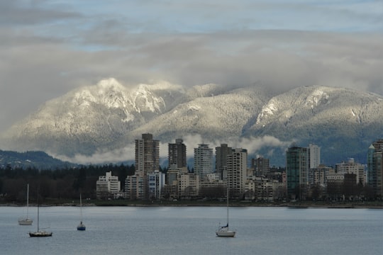

19 - Siwash Rock
30 km away
Siwash Rock, also known by its Squamish name Skalsh or Slhx̱í7lsh, is a famous rock outcropping in Vancouver, British Columbia, Canada's Stanley Park. A legend among the Indigenous Squamish people surrounds the rock. It is between 15 and 18 metres tall. It became known to mariners as Nine Pin Rock for its vague resemblance to a bowling pin.
Learn more Book this experience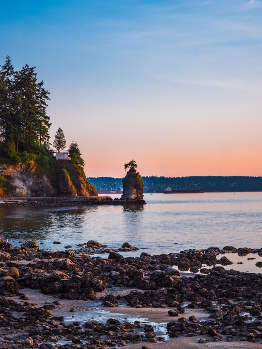

20 - North Vancouver
30 km away
The City of North Vancouver is a waterfront municipality on the north shore of Burrard Inlet, directly across from Vancouver, British Columbia. It is the smallest of the three North Shore municipalities, and the most urbanized as well.
Learn more
Book Tours and Activities in Pitt River
Discover the best tours and activities around Pitt River, Canada and book your travel experience today with our booking partners
Where to Stay near Pitt River
Discover the best hotels around Pitt River, Canada and book your stay today with our booking partner booking.com
More Travel spots to explore around Pitt River
Click on the pictures to learn more about the places and to get directions
Discover more travel spots to explore around Pitt River
🌉 Bridge spots ⛰️ Hill spotsTravel map of Pitt River
Explore popular touristic places around Pitt River
Download On Google Maps 🗺️📲
