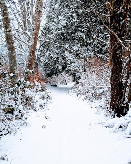
Travel Guide of Gibsons in Canada by Influencers and Travelers
Gibsons is a coastal community of 4,605 located in southwestern British Columbia, Canada on the Strait of Georgia. It is the main marine gateway to the Sunshine Coast.
Download the Travel Map of Canada on Google Maps here
The Best Things to Do and Visit in Gibsons
TRAVELERS TOP 10 :
- Point Atkinson Lighthouse
- Whyte Lake Trail
- Howe Sound Crest Trail
- Wreck Beach
- Lions Gate Bridge
- Siwash Rock
- Stanley Park
- Capilano River Regional Park
- Kitsilano Beach
- Vancouver Aquarium
1 - Point Atkinson Lighthouse
19 km away
Point Atkinson Lighthouse is a lighthouse erected on Point Atkinson, a headland in southwestern British Columbia named by Captain George Vancouver in 1792, when he was exploring the Pacific Northwest in the ship Discovery.
Learn more Book this experience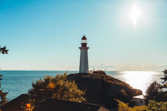

2 - Whyte Lake Trail
19 km away
Mount Niblock is a mountain in Banff National Park near Lake Louise, Alberta, Canada. The mountain was named in 1904 after John Niblock, a superintendent with the Canadian Pacific Railway.
Learn more Book this experience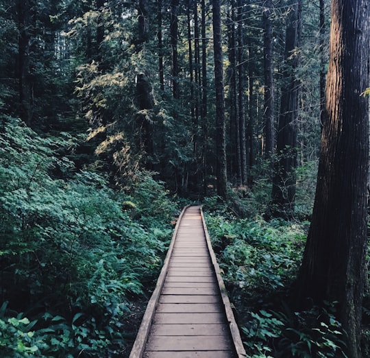
3 - Howe Sound Crest Trail
22 km away
Cypress Provincial Park is a provincial park on the North Shore of Metro Vancouver Regional District, British Columbia. The park has two sections: a 21 km² southern section which is accessible by road, and a 9 km² northern section which is only accessible by hiking trails.
Learn more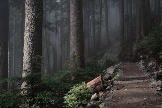
4 - Wreck Beach
24 km away
Wreck Beach is a clothing-optional beach located in Pacific Spirit Regional Park, which is in turn part of the University Endowment Lands just west of Vancouver, British Columbia, Canada.
Learn more Book this experience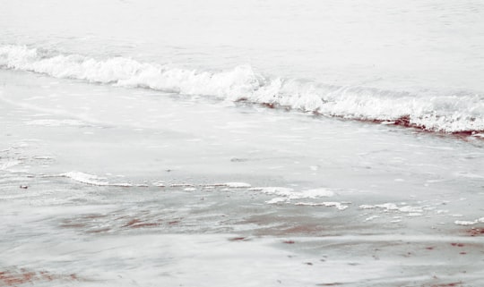

5 - Lions Gate Bridge
28 km away
The Lions Gate Bridge, opened in 1938 and officially known as the First Narrows Bridge, is a suspension bridge that crosses the first narrows of Burrard Inlet and connects the City of Vancouver, British Columbia, to the North Shore municipalities of the District of North Vancouver, the City of North Vancouver, and West Vancouver.
Learn more Book this experience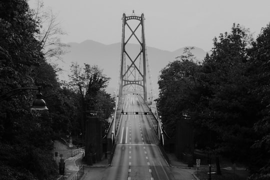

6 - Siwash Rock
28 km away
Siwash Rock, also known by its Squamish name Skalsh or Slhx̱í7lsh, is a famous rock outcropping in Vancouver, British Columbia, Canada's Stanley Park. A legend among the Indigenous Squamish people surrounds the rock. It is between 15 and 18 metres tall. It became known to mariners as Nine Pin Rock for its vague resemblance to a bowling pin.
Learn more Book this experience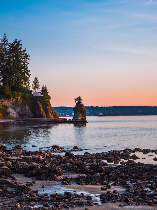

7 - Stanley Park
29 km away
Stanley Park is a 405-hectare public park that borders the downtown of Vancouver in British Columbia, Canada and is mostly surrounded by waters of Burrard Inlet and English Bay.
Learn more Book this experience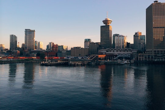
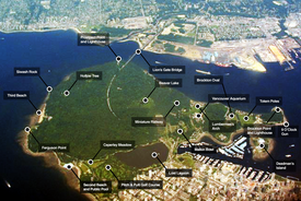
8 - Capilano River Regional Park
29 km away
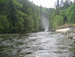
Capilano River Regional Park is located in the District of North Vancouver in British Columbia, Canada. It is one of twenty-one regional parks operated by the Metro Vancouver.
Learn more Book this experience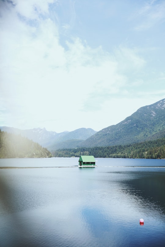
9 - Kitsilano Beach
29 km away
Kitsilano Beach is one of the most popular beaches in Vancouver, especially in the warm summer months. Located at the north edge of the Kitsilano neighbourhood, the beach faces out onto English Bay.
Learn more Book this experience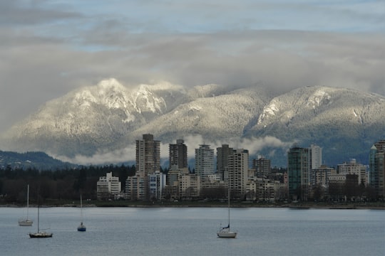

10 - Vancouver Aquarium
30 km away
The Vancouver Aquarium is a public aquarium located in Stanley Park in Vancouver, British Columbia, Canada. In addition to being a major tourist attraction for Vancouver, the aquarium is a centre for marine research, ocean literacy education, conservation and marine animal rehabilitation.
Learn more Book this experience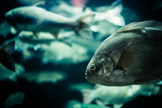

Disover the best Instagram Spots around Gibsons here
Book Tours and Activities in Gibsons
Discover the best tours and activities around Gibsons, Canada and book your travel experience today with our booking partners
Pictures and Stories of Gibsons from Influencers
5 pictures of Gibsons from Anastase Maragos, Crystal Nimilowich, and other travelers
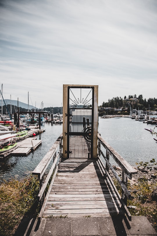
- Cool entrance to a local marina in Gibsons, British Columbia! Instagram: @VisualsByRoyalZ ...click to read more
- Experienced by @Anastase Maragos | ©Unsplash
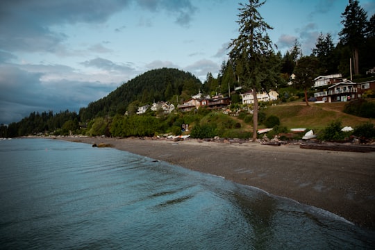
- Hopkins Landing at 5:30 AM in Gibsons, BC Instagram: @VisualsByRoyalZ ...click to read more
- Experienced by @Anastase Maragos | ©Unsplash
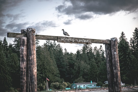
- Hopkins Landing, B.C. Gibsosn Instagram: @VisualsByRoyalZ ...click to read more
- Experienced by @Anastase Maragos | ©Unsplash
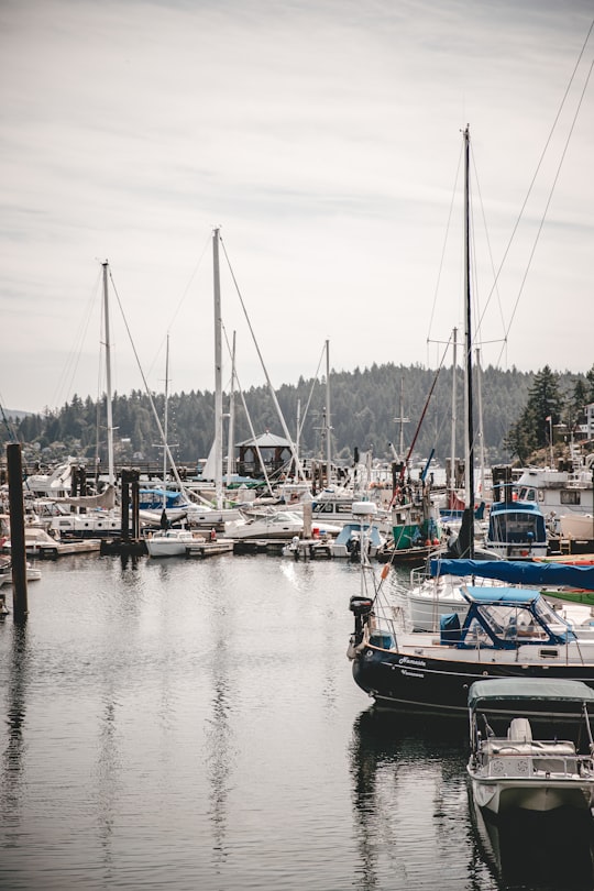
- Marina in lower gibsons, BC ...click to read more
- Experienced by @Anastase Maragos | ©Unsplash
Plan your trip in Gibsons with AI 🤖 🗺
Roadtrips.ai is a AI powered trip planner that you can use to generate a customized trip itinerary for any destination in Canada in just one clickJust write your activities preferences, budget and number of days travelling and our artificial intelligence will do the rest for you
👉 Use the AI Trip Planner
Why should you visit Gibsons ?
Travel to Gibsons if you like:
🏖️ Shore 🌲 Forest 🌉 Bridge 🚢 DockWhere to Stay in Gibsons
Discover the best hotels around Gibsons, Canada and book your stay today with our booking partner booking.com
More Travel spots to explore around Gibsons
Click on the pictures to learn more about the places and to get directions
Discover more travel spots to explore around Gibsons
🌲 Forest spots 🌉 Bridge spots 🚢 Dock spots ⛰️ Hill station spots ⛰️ Mountain range spots 🏖️ Shore spotsTravel map of Gibsons
Explore popular touristic places around Gibsons
Download On Google Maps 🗺️📲
