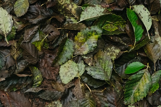
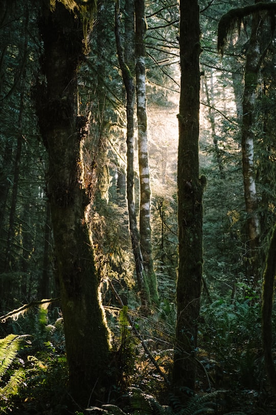
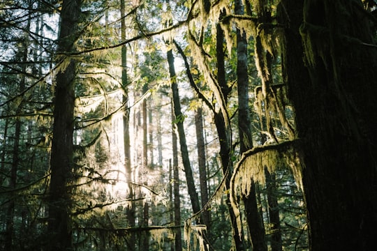
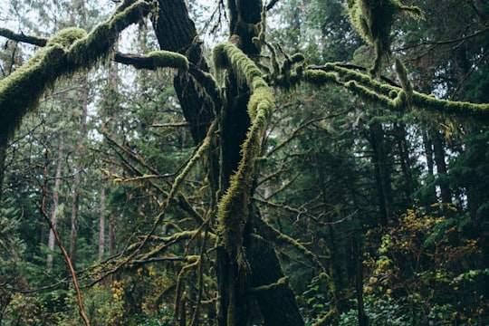
Travel Guide of Cumberland in Canada by Influencers and Travelers
Cumberland is an incorporated village municipality in the Comox Valley on Vancouver Island in British Columbia, Canada.
Download the Travel Map of Canada on Google Maps here
The Best Things to Do and Visit in Cumberland
TRAVELERS TOP 10 :
- Comox Valley Regional District
- Moraine Lake Holdings
- Comox Lake
- Comox Glacier
- Mount Washington
- Kwai Lake
- Great Central Lake
- Vancouver Island
- Sproat Lake
- Savary Island
1 - Comox Valley Regional District
10 km away
The Regional District of Comox-Strathcona was a regional district of British Columbia, Canada from 1967 to 2008. On February 15, 2008, the regional district was abolished and replaced by two successor regional districts, Comox Valley and Strathcona.
Learn more
2 - Moraine Lake Holdings
7 km away
Lake Wilcox is a kettle lake in the Oak Ridges neighbourhood of Richmond Hill, Ontario, Canada. The lake measures 1.5 kilometers across and covers 55.6 hectares or 0.55 square kilometres, making it the largest kettle lake on the Oak Ridges Moraine.
Learn more Book this experience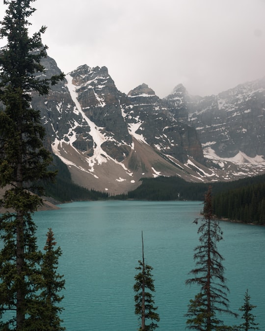
3 - Comox Lake
10 km away
Comox Lake is a glacier fed freshwater lake located in mid-Vancouver Island, British Columbia, Canada. It is located northwest of the smaller Beaufort Lake in the Comox Valley near Cumberland, British Columbia, and about 10km southwest of Courtenay.
Learn more Book this experience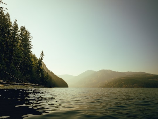

4 - Comox Glacier
24 km away
The Comox Glacier is a glacier on Vancouver Island, British Columbia, Canada, located 30 km southwest of Courtenay and 1 km west of Argus Mountain.
View on Google Maps Book this experience
5 - Mount Washington
24 km away
Mount Washington is a mountain on the eastern edge of the Vancouver Island Ranges of British Columbia and the site of the popular Mount Washington Alpine Resort. It is located approximately 25 km from the Comox Valley.
Learn more Book this experience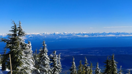

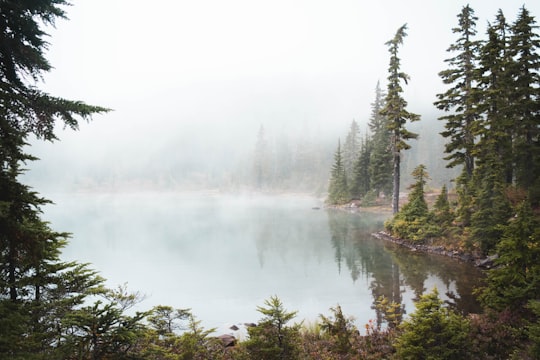
6 - Kwai Lake
24 km away
Learn more
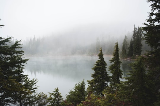
7 - Great Central Lake
30 km away
Great Central Lake is a lake on Vancouver Island, British Columbia, Canada. It is located north of Sproat Lake and to the northwest of the city of Port Alberni.
Learn more Book this experience
8 - Vancouver Island
30 km away
Vancouver Island is an island in the northeastern Pacific Ocean and part of the Canadian province of British Columbia. The island is 456 km in length, 100 km in width at its widest point, and 32,134 km² in area.
Learn more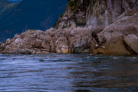
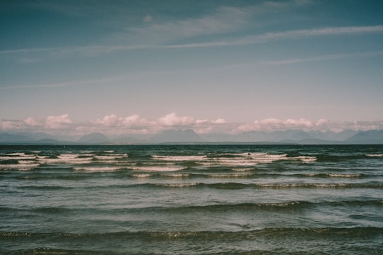
9 - Sproat Lake
39 km away
Sproat Lake is a lake on central Vancouver Island in British Columbia, Canada. It was known as Kleecoot, meaning "wide open" by local indigenous people.
Learn more Book this experience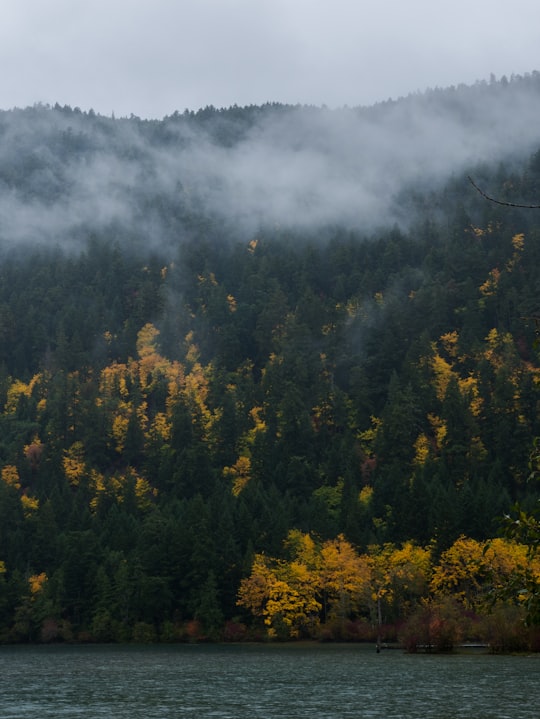
10 - Savary Island
39 km away
Savary Island or Áyhus is an island in British Columbia, Canada. Located in the northern part of the Strait of Georgia, it is 144 kilometres northwest of Vancouver. It is approximately 0.8-1.5 km wide and 7.5 kilometres long.
Learn more Book this experience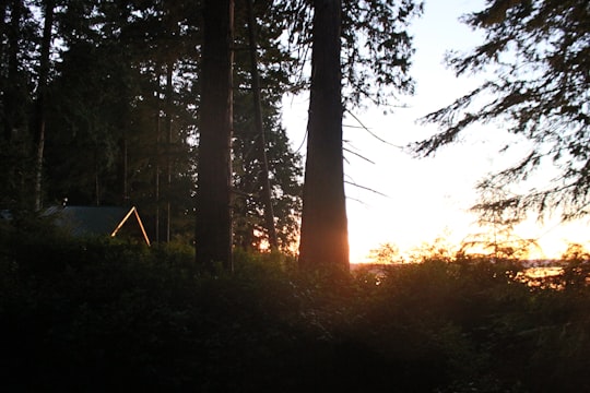
11 - Cathedral Grove
45 km away
MacMillan Provincial Park is a 301-hectare provincial park in British Columbia, Canada. Located 25 km west of Qualicum Beach and 16 km east of Port Alberni, the park straddles Highway 4 in central Vancouver Island.
Learn more Book this experience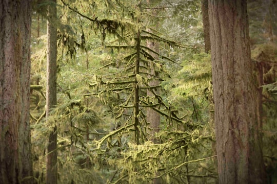
12 - Campbell River
49 km away
Campbell River or Wiwek̓a̱m is a city in British Columbia on the east coast of Vancouver Island at the south end of Discovery Passage, which lies along the important Inside Passage shipping route.
Learn more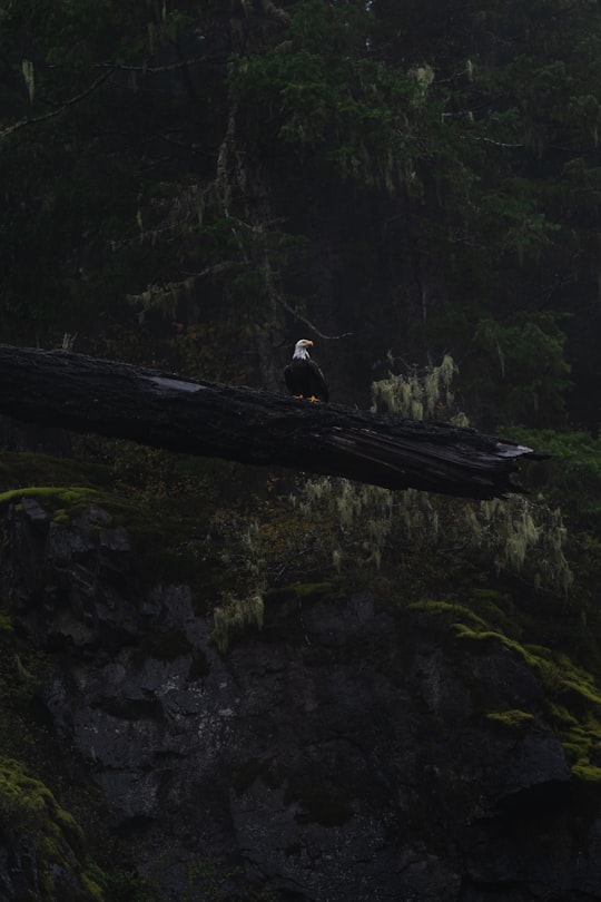
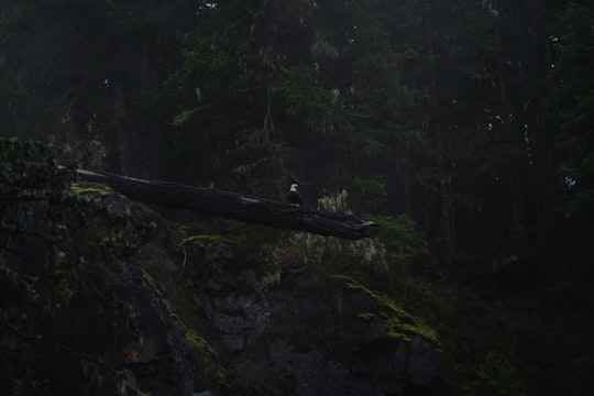
Disover the best Instagram Spots around Cumberland here
Book Tours and Activities in Cumberland
Discover the best tours and activities around Cumberland, Canada and book your travel experience today with our booking partners
Pictures and Stories of Cumberland from Influencers
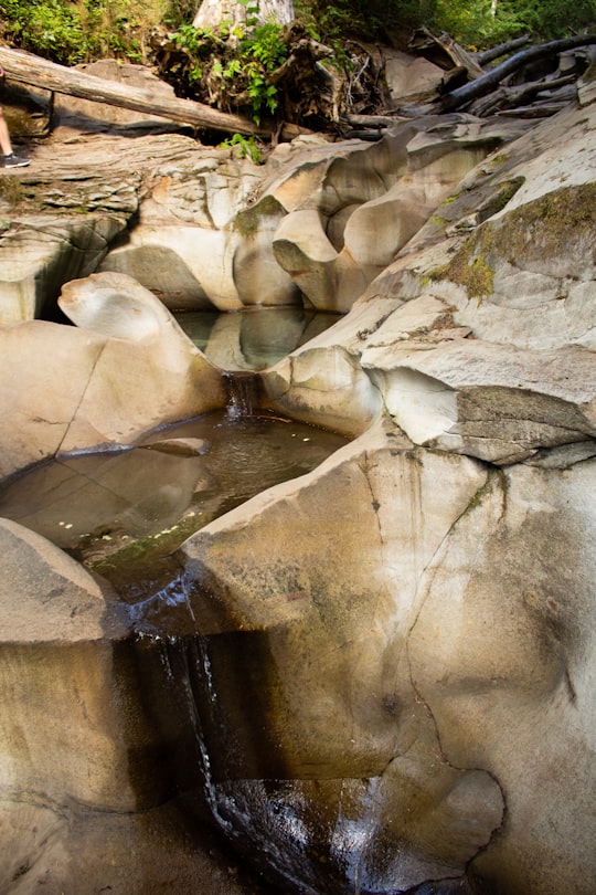
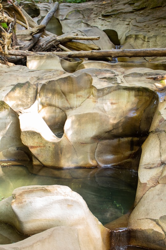
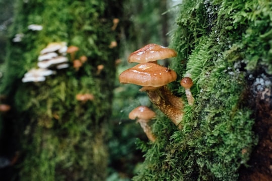
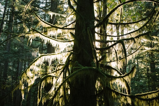
17 pictures of Cumberland from Jesse Dodds, Jesse Martini, Algi and other travelers
Plan your trip in Cumberland with AI 🤖 🗺
Roadtrips.ai is a AI powered trip planner that you can use to generate a customized trip itinerary for any destination in Canada in just one clickJust write your activities preferences, budget and number of days travelling and our artificial intelligence will do the rest for you
👉 Use the AI Trip Planner
Why should you visit Cumberland ?
Travel to Cumberland if you like:
🌲 Tropical and subtropical coniferous forests ⛰️ Mountain range 🌲 Forest ⛰️ Mountain 🏖️ Sailing ❄️ Glacial landformHow to visit Cumberland ?
Why traveling there?
Cumberland, located on beautiful Vancouver Island in British Columbia, Canada, is an idyllic destination that perfectly blends outdoor adventure with rich history and culture. Travelers can explore lush forests, scenic mountain biking and hiking trails, and enjoy a vibrant arts scene, all within close proximity to the stunning coastline. With its charming small-town atmosphere and friendly locals, Cumberland is a perfect retreat for those looking to escape the hustle and bustle of city life.
How to get there?
To reach Cumberland, you can fly into Comox Valley Airport (YQQ) from various Canadian cities like Vancouver, Calgary, and Edmonton. From the airport, Cumberland is just a 25-minute drive away. Alternatively, you can take a scenic ferry ride from Vancouver to Nanaimo, which is about a 1.5-hour drive from Cumberland. Ferry schedules and fares can be found at BC Ferries' website (www.bcferries.com).
What to book in advance?
It's highly recommended to book accommodations in advance, especially during the summer months when Cumberland is most popular. Additionally, if you plan on biking or participating in any guided outdoor activities, it's a good idea to reserve your gear and tours ahead of time to ensure availability.
What are the costs?
The cost of a trip to Cumberland can vary depending on your preferences and activities. Accommodations range from budget-friendly hostels to mid-range hotels and vacation rentals. Expect to pay around CAD $100-200 per night for a comfortable stay. Meals at local restaurants can cost between CAD $15-30 per person, while groceries can be purchased at reasonable prices from local markets. Activities and tours can range from CAD $50-100 per person, depending on the length and type of activity.
What are the best things to do?
Cumberland offers a variety of activities to suit all interests. Some of the top things to do include exploring the Cumberland Community Forest, mountain biking or hiking on the extensive trail network, visiting the Cumberland Museum and Archives, and enjoying live music at local venues. Additionally, the nearby Comox Valley offers opportunities for kayaking, golfing, and wildlife watching.
Where to eat?
Some great dining options in Cumberland include:
1. Rider's Pizza: A local favorite for delicious wood-fired pizza and a relaxed atmosphere.
2. The Wandering Moose Cafe: A cozy cafe offering hearty breakfasts, sandwiches, and homemade baked goods.
3. 4 Quarters Restaurant: A popular spot for flavorful international cuisine, including Indian and Thai dishes.
Where to stay?
Recommended accommodations in Cumberland include:
1. The Riding Fool Hostel: A budget-friendly option with a welcoming atmosphere, perfect for backpackers and solo travelers.
2. Cumberland Guesthouse: A charming guesthouse offering comfortable rooms and a convenient location in the heart of the village.
3. The Alderwood Farm Cozy Cabin: A lovely vacation rental situated on a picturesque farm, ideal for those seeking a peaceful retreat.
Off the beaten path
For a unique and off-the-beaten-path experience, consider visiting the nearby Forbidden Plateau. This area, once a popular ski resort, now offers abandoned ski lifts and lodges to explore. The plateau also boasts beautiful alpine meadows, lush forests, and stunning views of the surrounding mountains, making it an excellent destination for hiking and photography enthusiasts.
Learn More about Cumberland
Cumberland is a small rural municipality in Ottawa, Canada's national capital. Due to the small size of the rural community and the growing expansion of Orléans, the two communities' boundaries are gradually coming together since the amalgamation of Ottawa in 2001. Many services for Cumberland are offered in the Northeast Orléans area. The car remains the most practical way to get around the municipality.
Cumberland was named after the Duke of Cumberland. This small village was established by English Loyalists in 1801. Its location between the Ottawa and Lièvre Rivers was perfect for fur traders and other merchants. With the construction of two wharves, several wheat mills, sawmills, woolen mills, match factories and seven shops, the village of Cumberland prospered until the end of the nineteenth century.
When transportation methods began to improve, the small waterfront village was no longer so important and people went to the more industrialized towns to buy goods, so the village of Cumberland began to decline.
The other villages in the municipality of Cumberland continued to prosper and in 1999 they even amalgamated with the village and formed the town of Cumberland. For a brief period, in 2001 the town and 10 other municipalities became part of Ottawa. Cumberland is now part of Ottawa. Most of the former municipalities form the new Ward of Cumberland, which is represented on Ottawa City Council. Cumberland Ward is now predominantly rural, with historic villages that now comprise Ottawa's smaller communities.
Frequently Asked Questions by Travelers planning a trip to Cumberland
Cumberland is one of England's 39 traditional counties. In 1974 it was amalgamated with Westmorland and parts of Lancashire and Yorkshire to form Cumbria.
Where to Stay in Cumberland
Discover the best hotels around Cumberland, Canada and book your stay today with our booking partner booking.com
More Travel spots to explore around Cumberland
Click on the pictures to learn more about the places and to get directions
Discover more travel spots to explore around Cumberland
🌲 Forest spots 🏞️ Watercourse spots ⛰️ Mountain bike spots 🌲 Northern hardwood forest spots 🌲 Old-growth forest spots 🌴 Rainforest spots 🐾 Wildlife spots 🌴 Jungle spotsTravel map of Cumberland
Explore popular touristic places around Cumberland
Download On Google Maps 🗺️📲
