The Best Forest Photo Spots around Ottawa in Canada
Explore Forest pictures of Ottawa with the travel spots on a map
Download the Travel Map of Canada on Google Maps here
13 Forest Spots of Ottawa on a Map
Pictures of Forest on the interacive map of Ottawa
Download On Google Maps 🗺️📲Forest Spots and Pictures around Ottawa
Discover popular destinations in Ottawa with their travel guides
Ottawa
Read the Travel guide View on Google Maps
Vincent Massey Avenue
4 km away from Ottawa
Read the Travel guide View on Google Maps
615 Ottawa 32
9 km away from Ottawa
Read the Travel guide View on Google Maps
Sentier Mont King
15 km away from Ottawa
Read the Travel guide View on Google Maps
Mer Bleue Bog Trail
15 km away from Ottawa
Read the Travel guide View on Google Maps
Chelsea
19 km away from Ottawa
Read the Travel guide View on Google Maps
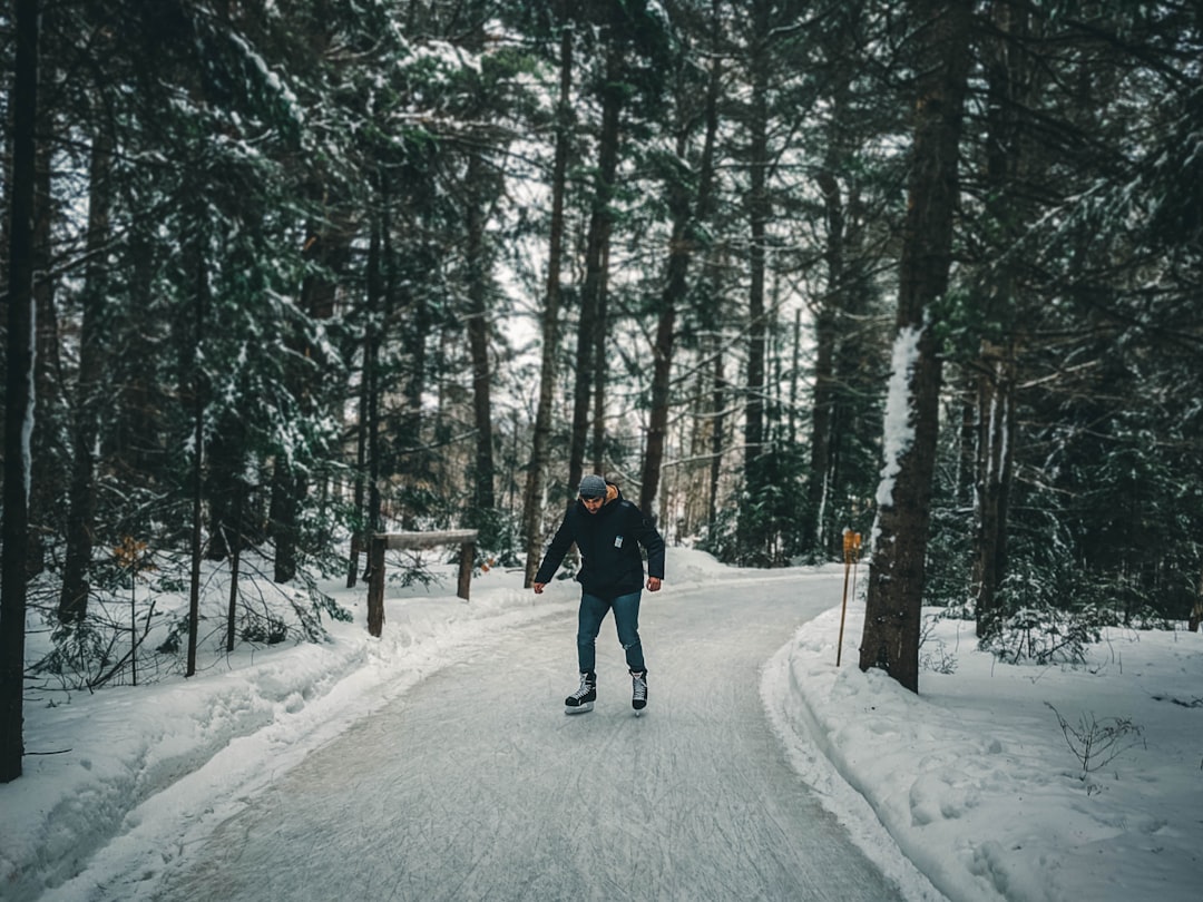
Patinage en forêt
49 km away from Ottawa
Read the Travel guide View on Google Maps
Parc national de Plaisance
50 km away from Ottawa
Read the Travel guide View on Google Maps

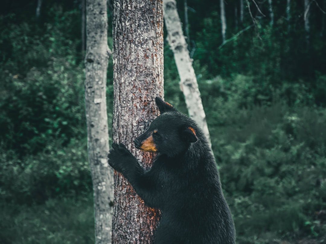
Parc Omega
65 km away from Ottawa
Read the Travel guide View on Google Maps
Parc régional du Poisson Blanc
75 km away from Ottawa
Read the Travel guide View on Google Maps
Calabogie
81 km away from Ottawa
Read the Travel guide View on Google Maps
Murphys Point Provincial Park
83 km away from Ottawa
Read the Travel guide View on Google Maps
Papineau-Labelle Wildlife Reserve
86 km away from Ottawa
Read the Travel guide View on Google Maps
Book your Travel Experience in Ottawa
Discover the best tours and activities in Ottawa and book your travel experience today with our booking partners
Learn More about Ottawa
Find Hotels in Ottawa
Discover the best hotels around Ottawa, Canada and book your stay today with our booking partner booking.com