Travel Guide of Oberdrauburg in Austria by Influencers and Travelers
Oberdrauburg is a market town in the district of Spittal an der Drau at the western rim of the Austrian state of Carinthia.
The Best Things to Do and Visit in Oberdrauburg
TRAVELERS TOP 10 :
- Irschen
- Karlsbader Hütte
- Paragliding in Lienz
- Lienz
- Wangenitzsee
- Gleitschirmfliegen in Lienz
- Weissensee
- Gartnerkofel
- Stand up Paddle in Lienz
- Nassfeld
1 - Irschen
Irschen is a municipality in the district of Spittal an der Drau in the Austrian state of Carinthia.
Learn more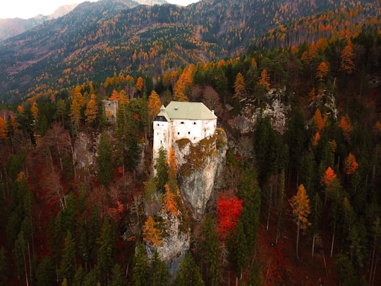
2 - Karlsbader Hütte
13 km away
The Große Sandspitze in Tyrol is 2,770 m and the highest mountain in the Gailtal Alps, a mountain range of the Southern Limestone Alps. It is located within the subrange of the Lienz Dolomites and is locally called the Sunnspitz.
Learn more Book this experience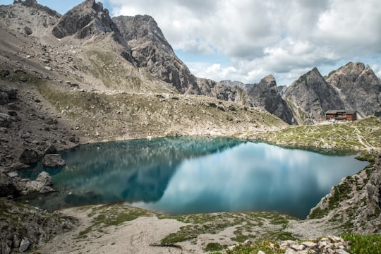
3 - Paragliding in Lienz
18 km away
The premium Tandem flight includes a choice of take-off location, photos, and video of your amazing experience in East Tyrol. Your take off-site can either be Steinermandl on the top of Zettersfeld or the local Mountain, the Hochstein. For this fligh...
Book this experience
4 - Lienz
18 km away
Lienz is a medieval town in the Austrian state of Tyrol. It is the administrative centre of the Lienz district, which covers all of East Tyrol. The municipality also includes the cadastral subdivision of Patriasdorf.
Learn more
5 - Wangenitzsee
24 km away
The Wangenitzsee is an alpine lake in Carinthia, Austria. It is located in the Schober group of Hohe Tauern National Park, and is at an altitute of 2,465 metres above sea level.
Learn more Book this experience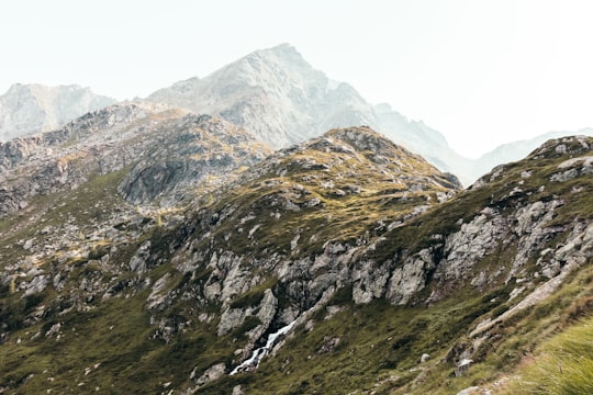
6 - Gleitschirmfliegen in Lienz
18 km away
The premium Tandem flight includes a choice of take-off location, photos, and video of your amazing experience in East Tyrol. Your take off-site can either be Steinermandl on the top of Zettersfeld or the local Mountain, the Hochstein. For this fligh...
Book this experience
7 - Weissensee
29 km away
The Weissensee is a lake in the Austrian state of Carinthia within the Gailtal Alps mountain range. The highest situated Carinthian bathing lake shares its name with the municipality of Weissensee on the northern and southern shore.
Learn more Book this experience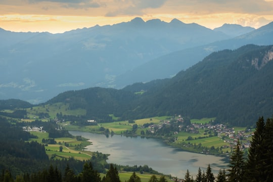

8 - Gartnerkofel
29 km away
Gartnerkofel is a mountain of the Carnic Alps in Carinthia, Austria. It is located on the main chain of the Carnics above the Naßfeld Pass, near the border with Italy. The nearest town is Hermagor-Pressegger See.
Learn more Book this experience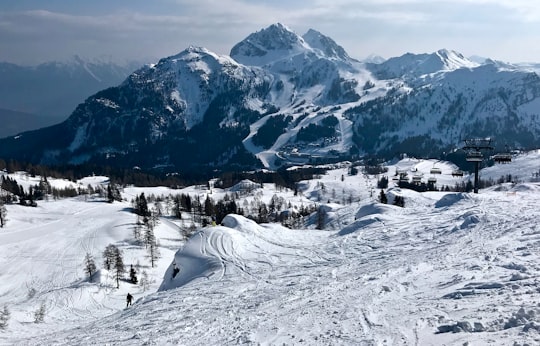

9 - Stand up Paddle in Lienz
14 km away
The river Drava passing the foot of Austria's highest mountain, the Grossglockner, and the city of Lienz, is a perfect spot for recreational outdoor sports like SUP. Despite man-made changes in the past, this stunning river landscape hosts amazing bi...
Book this experience
10 - Nassfeld
32 km away
Nassfeld Pass is a 1,530-metre-high mountain pass connecting Hermagor in the Austrian state of Carinthia with Pontebba in the Italian region of Friuli-Venezia Giulia.
Learn more Book this experience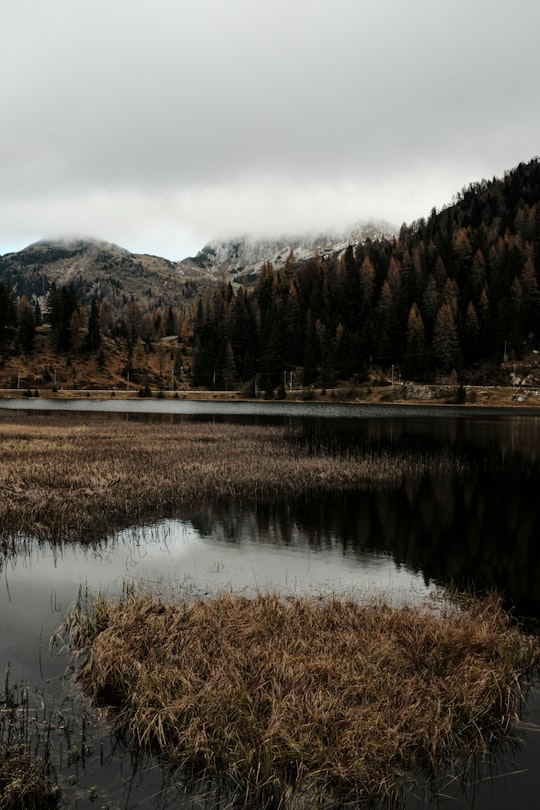
11 - Grossglockner High Alpine Road
38 km away
The Grossglockner High Alpine Road is the highest surfaced mountain pass road in Austria. It connects Bruck in the state of Salzburg with Heiligenblut in Carinthia via Fuscher Törl at 2,428 m and Hochtor Pass at 2,504 m.
Learn more Book this experience
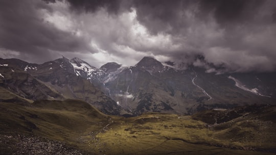
12 - Stüdlhütte
40 km away
Learn more

13 - Grossglockner
42 km away
The Grossglockner is, at 3,798 metres above the Adriatic, the highest mountain in Austria and the highest mountain in the Alps east of the Brenner Pass.
Learn more Book this experience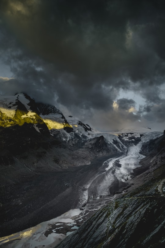
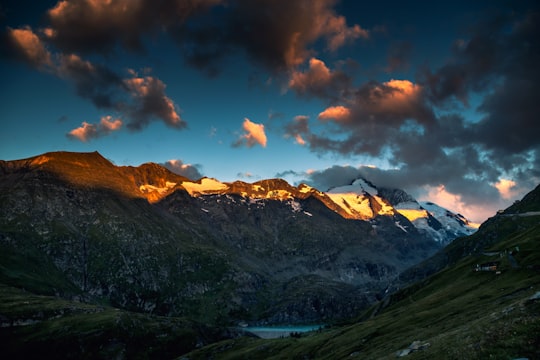
14 - Pasterze Glacier
42 km away
The Pasterze, at approximately 8.4 kilometres in length, is the longest glacier in Austria and in the Eastern Alps. It lies within the Glockner Group of the High Tauern mountain range in Carinthia, directly beneath Austria's highest mountain, the Grossglockner.
Learn more Book this experience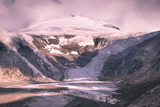

Disover the best Instagram Spots around Oberdrauburg here
Book Tours and Activities in Oberdrauburg
Discover the best tours and activities around Oberdrauburg, Austria and book your travel experience today with our booking partners
Pictures and Stories of Oberdrauburg from Influencers
Picture from Andrea Gorini who have traveled to Oberdrauburg
Plan your trip in Oberdrauburg with AI 🤖 🗺
Roadtrips.ai is a AI powered trip planner that you can use to generate a customized trip itinerary for any destination in Austria in just one clickJust write your activities preferences, budget and number of days travelling and our artificial intelligence will do the rest for you
👉 Use the AI Trip Planner
Why should you visit Oberdrauburg ?
Travel to Oberdrauburg if you like:
⛰️ Mountain ⛰️ Highland 🌲 Plain ❄️ Glacial landform 🌲 Ecoregion 🌲 ForestWhere to Stay in Oberdrauburg
Discover the best hotels around Oberdrauburg, Austria and book your stay today with our booking partner booking.com
More Travel spots to explore around Oberdrauburg
Click on the pictures to learn more about the places and to get directions
Discover more travel spots to explore around Oberdrauburg
Monument spotsTravel map of Oberdrauburg
Explore popular touristic places around Oberdrauburg
