Travel Guide of Muttekopf in Austria by Influencers and Travelers
The Muttekopf is a lookout mountain in the Lechtal Alps in the Austrian state of Tyrol. It lies northwest of Imst and immediately south of the Hahntennjoch saddle. The path runs from Imst along a road or through the narrow Rosengarten Gorge to Hochimst. From there it takes about 2 hours on a footpath to reach the Muttekopf Hut.
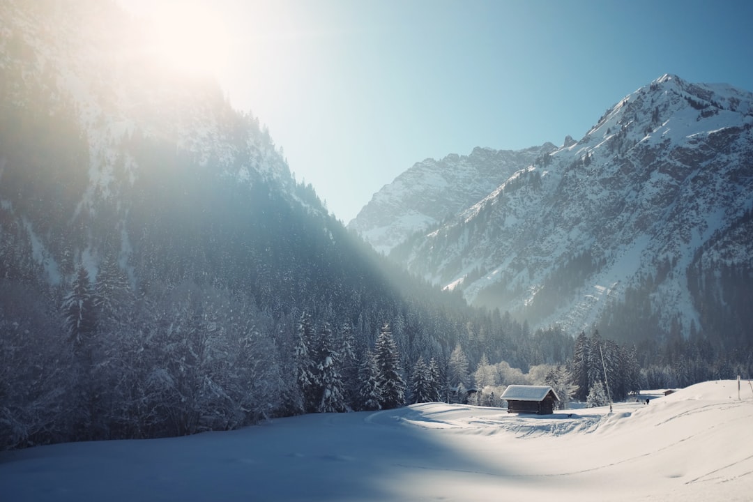
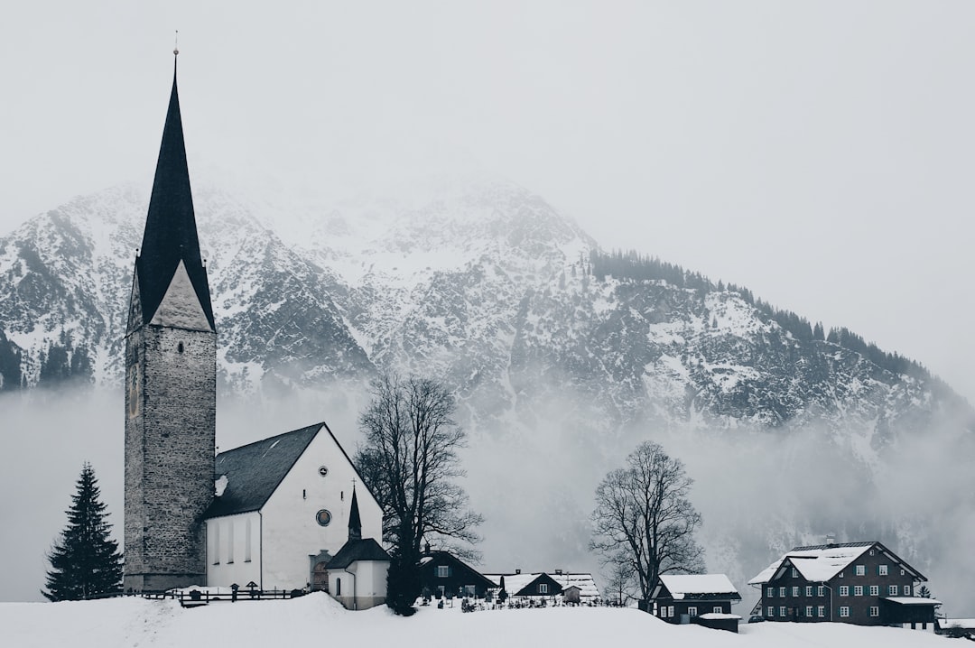
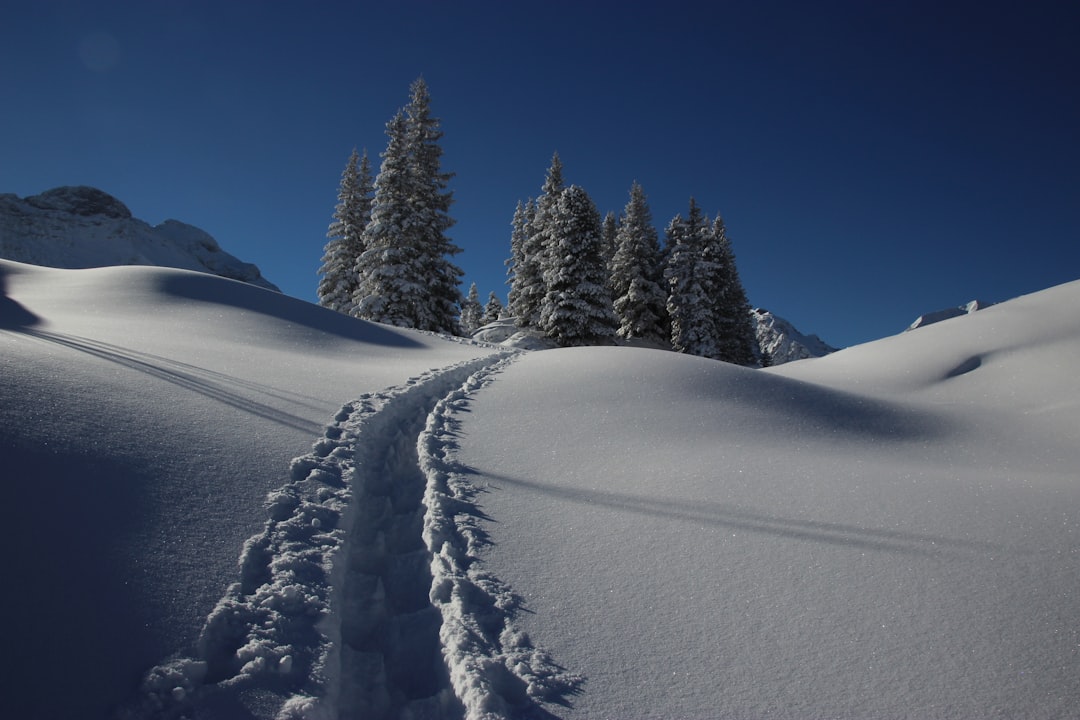
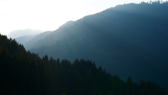
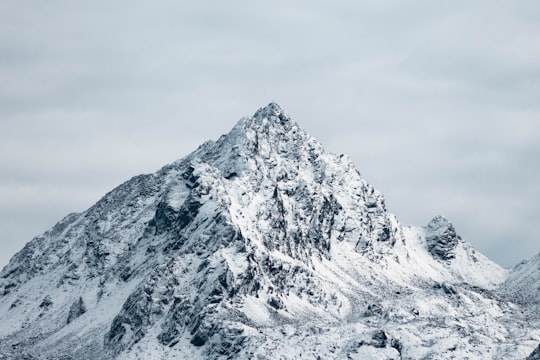
Pictures and Stories of Muttekopf from Influencers
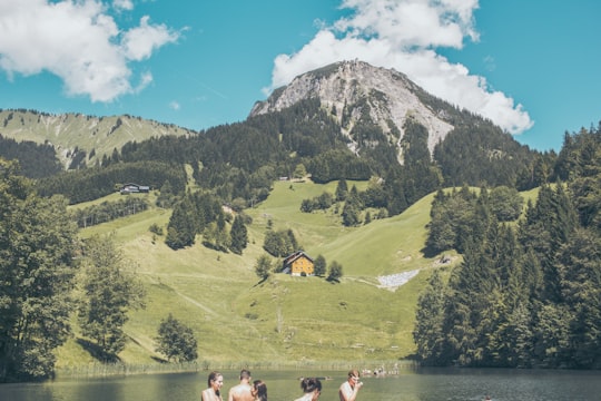
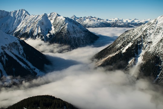
Picture from Michael Bomke who have traveled to Muttekopf

Plan your trip in Muttekopf with AI 🤖 🗺
Roadtrips.ai is a AI powered trip planner that you can use to generate a customized trip itinerary for any destination in Austria in just one clickJust write your activities preferences, budget and number of days travelling and our artificial intelligence will do the rest for you
👉 Use the AI Trip Planner
Book your Travel Experience at Muttekopf
Discover the best tours and activities around Muttekopf, Austria and book your travel experience today with our booking partners
Map of Muttekopf
View Muttekopf on a map with the the closest popular places nearby
More Travel spots to explore around Muttekopf
Click on the pictures to learn more about the places and to get directions
Discover more travel spots to explore around Muttekopf
❄️ Glacial landform spotsWhere to Stay near Muttekopf
Discover the best hotels around Muttekopf, Austria and book your stay today with our booking partner booking.com
Popular destinations near Muttekopf
Disover the best Instagram Spots around Muttekopf here
Mittelberg
13 km (7.9 miles) away from Muttekopf
Mittelberg is a municipality in the district of Bregenz in the Austrian state of Vorarlberg.
Travel guide of Mittelberg

Stanzach
24 km (14.7 miles) away from Muttekopf
Stanzach is a municipality in the Reutte district in the Austrian state of Tyrol.
Travel guide of Stanzach

Namloser Tal
26 km (16.3 miles) away from Muttekopf
Stanzach is a municipality in the Reutte district in the Austrian state of Tyrol.
Travel guide of Namloser Tal


Sankt Gallenkirch
37 km (22.9 miles) away from Muttekopf
Sankt Gallenkirch is a municipality in the district of Bludenz in the Austrian state of Vorarlberg.
Travel guide of Sankt Gallenkirch
Sankt Gerold
37 km (22.9 miles) away from Muttekopf
Sankt Gerold is a municipality in the district of Bludenz in the Austrian state of Vorarlberg.
Travel guide of Sankt Gerold