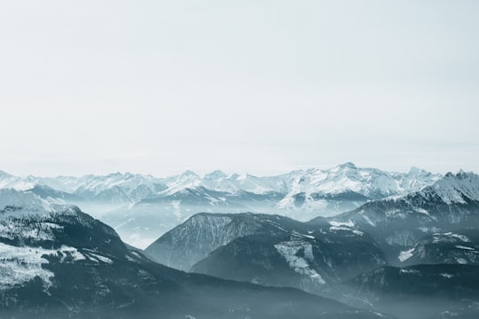
Travel Guide of Hoher Dachstein in Austria by Influencers and Travelers
Hoher Dachstein is a strongly karstic mountain in central Austria and the second-highest mountain in the Northern Limestone Alps. It is situated at the border of Upper Austria and Styria, and is the highest point in each of those states. Parts of the massif also lie in the state of Salzburg, leading to the mountain being referred to as the Drei-Länder-Berg.
Pictures and Stories of Hoher Dachstein from Influencers
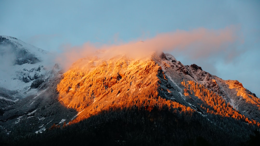
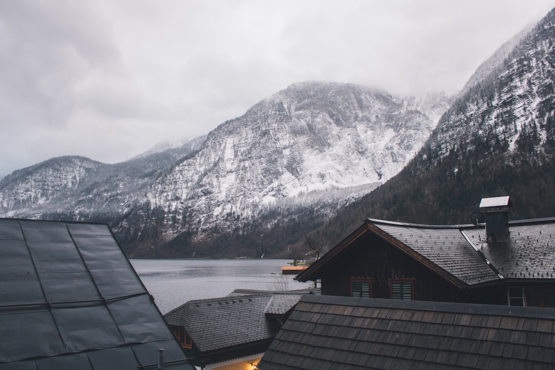
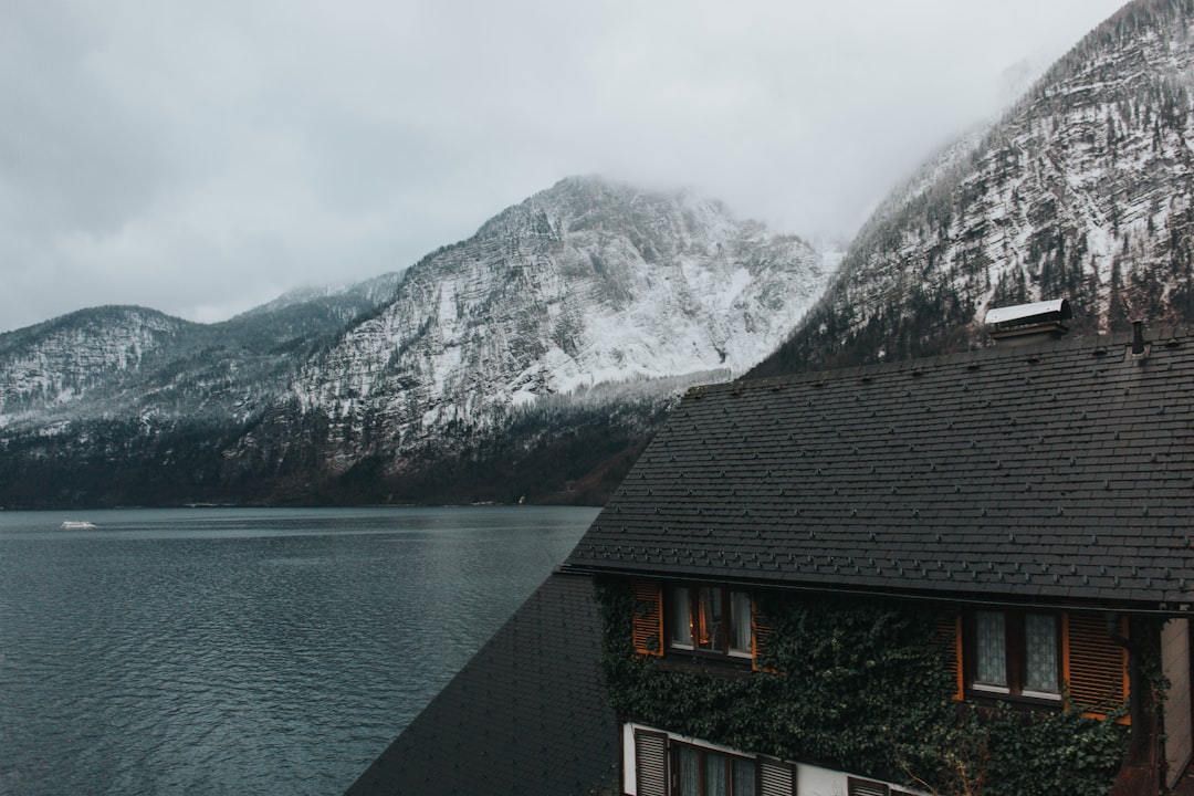
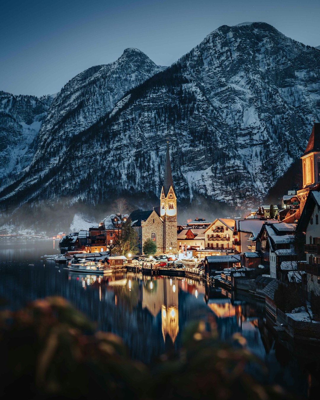
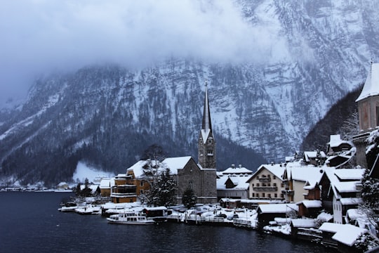
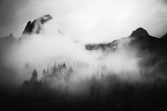
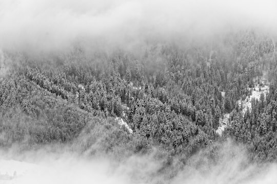
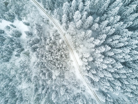
6 pictures of Hoher Dachstein from Christiane Nuetzel, eberhard � grossgasteiger, Daniela Izotenko and other travelers
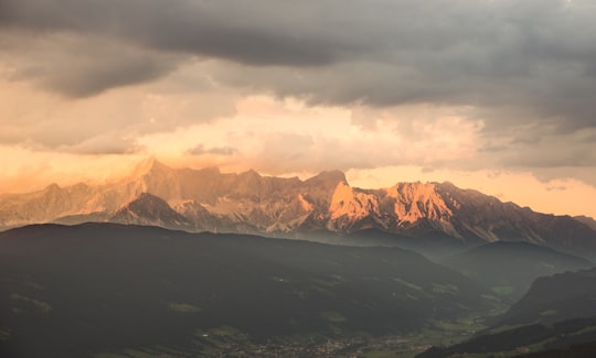
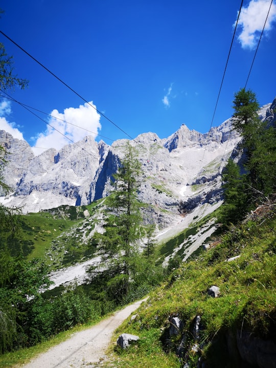
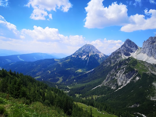
- Clouds over an Austrian mountain valley ...click to read more
- Experienced by @Christiane Nuetzel | ©Unsplash
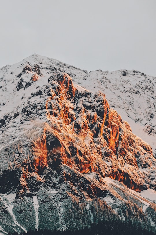
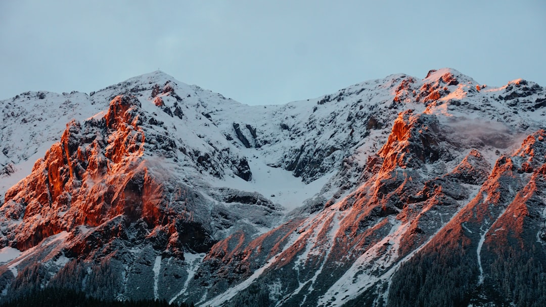
- Browsing the archive, I often find small treasures! ...click to read more
- Experienced by @eberhard ğŸ–� grossgasteiger | ©Unsplash
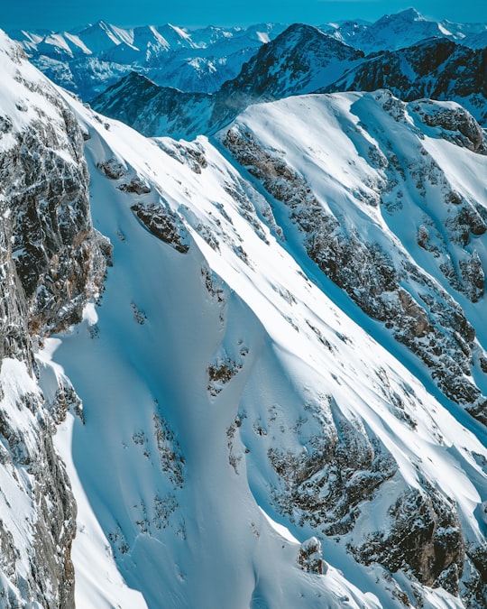
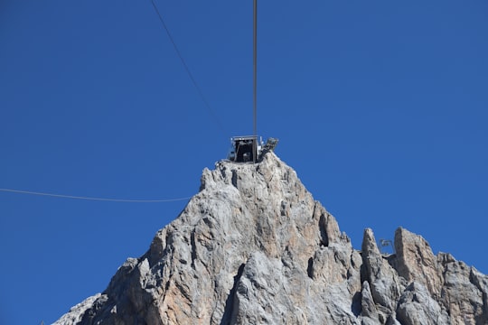
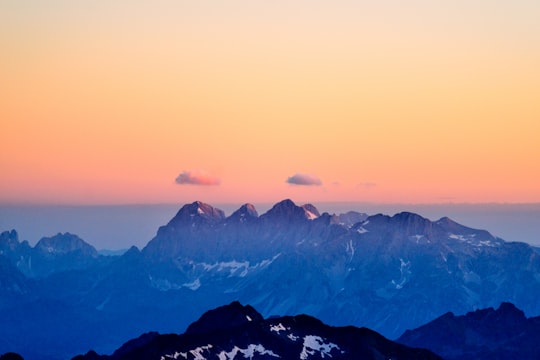
- View from Dachstein Glacier. ...click to read more
- Experienced by @Daniela Izotenko | ©Unsplash
Plan your trip in Hoher Dachstein with AI 🤖 🗺
Roadtrips.ai is a AI powered trip planner that you can use to generate a customized trip itinerary for any destination in Austria in just one clickJust write your activities preferences, budget and number of days travelling and our artificial intelligence will do the rest for you
👉 Use the AI Trip Planner
Book your Travel Experience at Hoher Dachstein
Discover the best tours and activities around Hoher Dachstein, Austria and book your travel experience today with our booking partners
Map of Hoher Dachstein
View Hoher Dachstein on a map with the the closest popular places nearby
More Travel spots to explore around Hoher Dachstein
Click on the pictures to learn more about the places and to get directions
Discover more travel spots to explore around Hoher Dachstein
⛰️ Highland spots ⛰️ Mountain spotsWhere to Stay near Hoher Dachstein
Discover the best hotels around Hoher Dachstein, Austria and book your stay today with our booking partner booking.com
Popular destinations near Hoher Dachstein
Disover the best Instagram Spots around Hoher Dachstein here
Gemeinde Annaberg-Lungötz
12 km (7.2 miles) away from Hoher Dachstein
Annaberg-Lungötz is a municipality in the district of Hallein, in the Austrian state of Salzburg.
Travel guide of Gemeinde Annaberg-Lungötz
Altenmarkt im Pongau
17 km (10.8 miles) away from Hoher Dachstein
Altenmarkt im Pongau is a small town in the Austrian state of Salzburg.
Travel guide of Altenmarkt im Pongau
Sankt Martin am Tennengebirge
17 km (10.4 miles) away from Hoher Dachstein
Travel guide of Sankt Martin am Tennengebirge
