Travel Guide of Woodforde in Australia by Influencers and Travelers
Woodforde is a suburb of Adelaide within the Adelaide Hills Council. It is located about 10 km east of the Adelaide city centre. Woodforde is in the State House of Assembly Electoral district of Morialta and is in the Federal Division of Mayo. The Catholic boys' school Rostrevor College is located in the suburb.
Download the Travel Map of Australia on Google Maps here
The Best Things to Do and Visit in Woodforde
TRAVELERS TOP 10 :
- Adelaide
- Adelaide SA
- Dolphin & Whale Watching | Adelaide
- Adelaide Central Market
- Adelaide Botanic Garden
- Mount Lofty
- St Peter's Cathedral
- Rundle Street
- Adelaide Railway Station
- Cleland Conservation Park
1 - Adelaide
10 km away
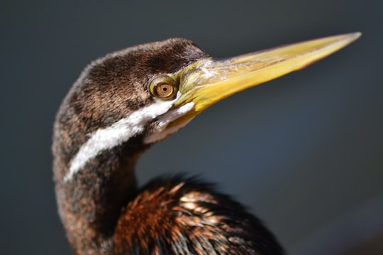
Adelaide is the capital city of the state of South Australia, and the fifth-most populous city of Australia. The demonym Adelaidean is used to denote the city and the residents of Adelaide.
Learn more
2 - Adelaide SA
10 km away
Adelaide AD-ə-layd, is the capital city of the state of South Australia, and the fifth-most populous city of Australia. The demonym Adelaidean is used to denote the city and the residents of Adelaide.
Learn more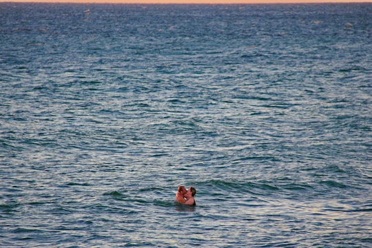
3 - Dolphin & Whale Watching | Adelaide
10 km away
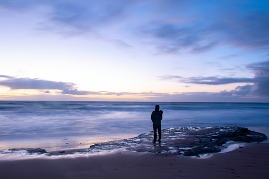
Explore the Dolphin Sanctuary with a 1-person or 2-person kayak rental from Garden Island in Adelaide. Search for dolphins and other marine life in the mangroves at your own pace.
Book this experience
4 - Adelaide Central Market
8 km away
The Adelaide Central Market is one of the largest undercover fresh produce markets in the Southern Hemisphere, with 1 million kilograms of fresh produce delivered to the Market and sold every month.
View on Google Maps Book this experience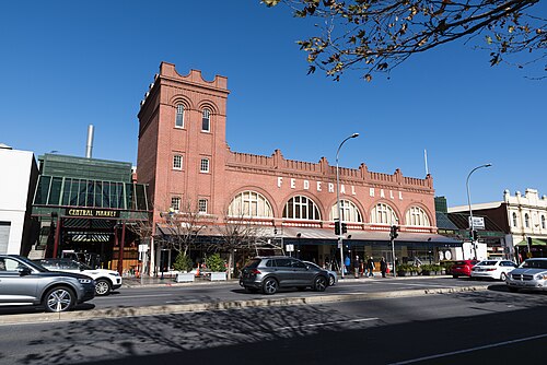
5 - Adelaide Botanic Garden
7 km away
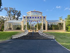
The Adelaide Botanic Garden is a 51-hectare public garden at the north-east corner of the Adelaide city centre, in the Adelaide Park Lands. It encompasses a fenced garden on North Terrace and behind it the Botanic Park. Work was begun on the site in 1855, with its official opening to the public on 4 October 1857.
Learn more Book this experience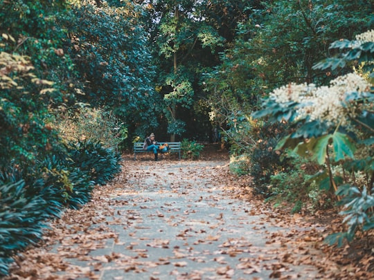
6 - Mount Lofty
8 km away
Mount Lofty is the highest point in the southern Mount Lofty Ranges. It is located about 15 km east of the Adelaide city centre in South Australia, and has panoramic views of the city and the Adelaide plains to the west, and of the Picadilly Valley to the east.
Learn more Book this experience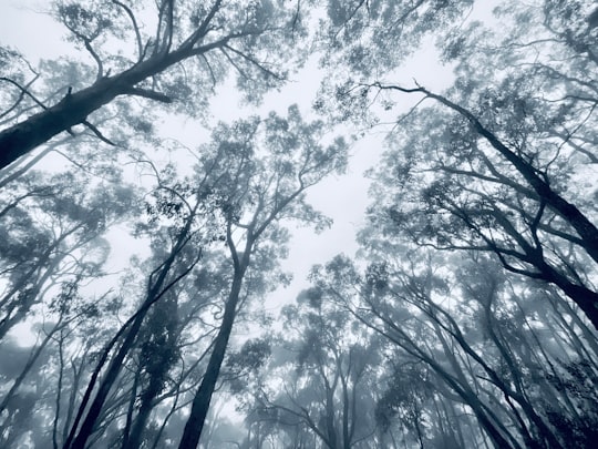

7 - St Peter's Cathedral
8 km away
St Peter's Cathedral is an Anglican cathedral in the South Australian capital of Adelaide. It is the seat of the Archbishop of Adelaide and Metropolitan of the Province of South Australia.
Learn more Book this experience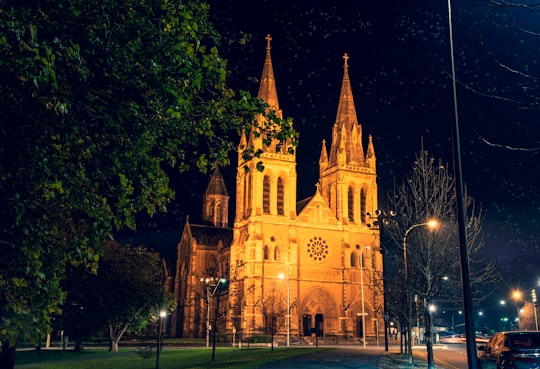
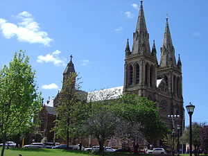
8 - Rundle Street
9 km away
Rundle Street, often referred to as "Rundle Street East" as distinct from Rundle Mall, is a street in the East End of the city centre of Adelaide, the capital of South Australia.
Learn more
9 - Adelaide Railway Station
10 km away
Kudla is a locality in the northern Adelaide suburbs, 34 km from the city centre, just south of Gawler. It is in the Town of Gawler local government area.
Learn more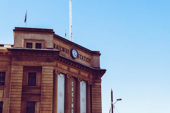
10 - Cleland Conservation Park
8 km away
Cleland National Park, formerly Cleland Conservation Park, is a protected area located in the Adelaide Hills, South Australia about 22 kilometres south-east of the Adelaide city centre.
Learn more Book this experience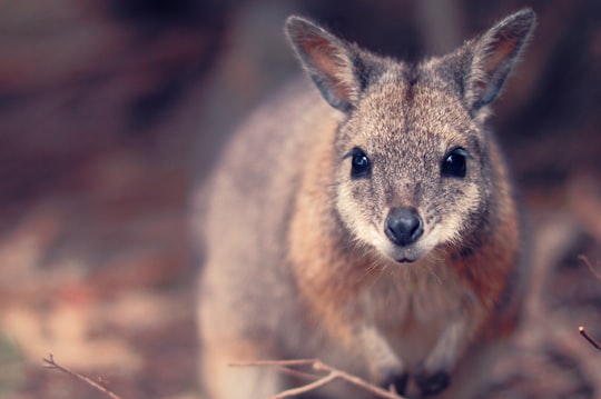
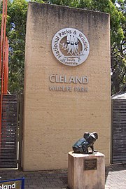
11 - Adelaide Zoo
7 km away
Adelaide Zoo is Australia's second oldest zoo, and it is operated on a non-profit basis. It is located in the parklands just north of the city centre of Adelaide, South Australia.
Learn more Book this experience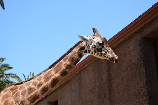

12 - Bowden South Australia
11 km away
Bowden is an inner northern suburb of Adelaide, South Australia. It is located in the City of Charles Sturt.
Learn more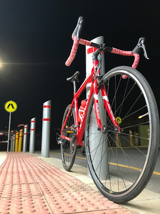
13 - Stirling
12 km away
Stirling is a town in the Adelaide Hills, South Australia, approximately 15 km from the Adelaide city centre. It is administered by the Adelaide Hills Council. Neighbouring townships are Crafers and Aldgate. Other nearby towns are Heathfield and Bridgewater.
Learn more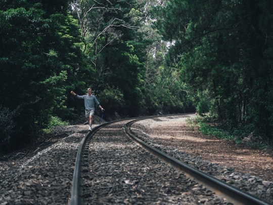
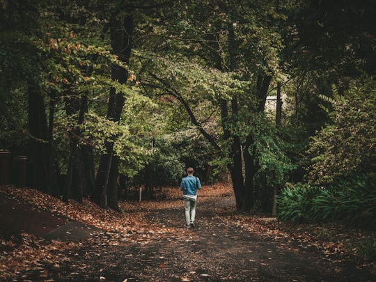
14 - Belair National Park
13 km away
Belair National Park is a protected area in Belair, South Australia, 9 kilometres south of Adelaide city centre; it covers an area of 835 hectares.
Learn more Book this experience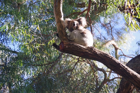

15 - South Australian Maritime Museum
17 km away
The South Australian Maritime Museum is a state government museum, part of the History Trust of South Australia. The Museum opened in 1986 in a collection of historic buildings in the heart of Port Adelaide, South Australia's first heritage precinct.
View on Google Maps Book this experience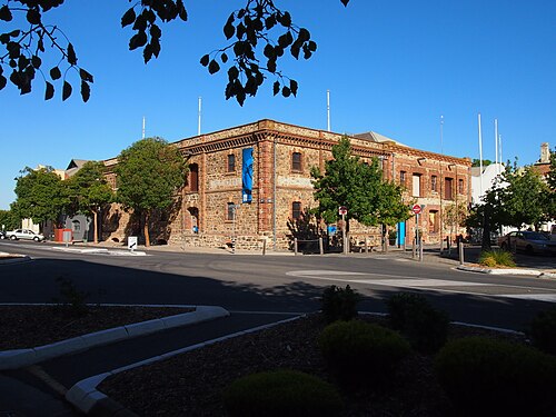
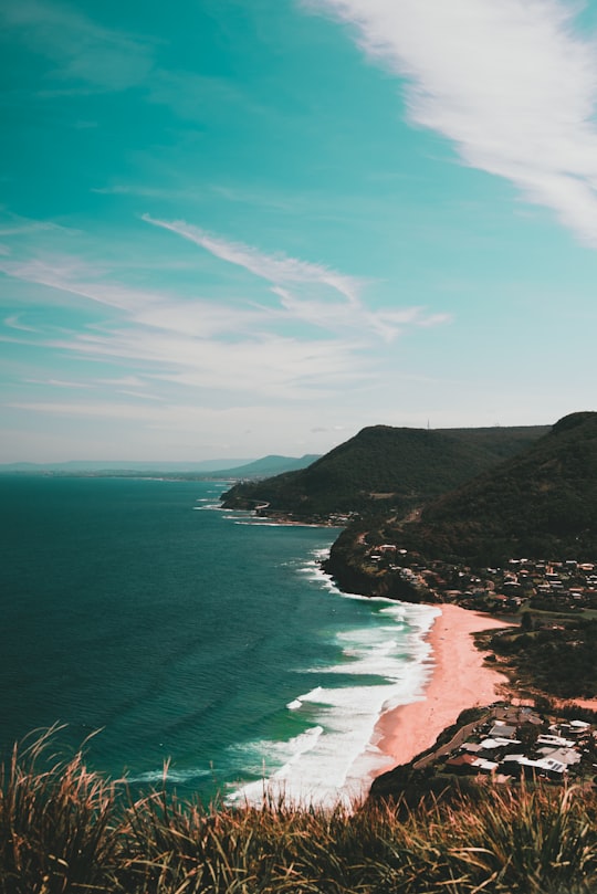
16 - Royal Park
18 km away
Learn more Book this experience
17 - Brighton
21 km away
Brighton is a suburb in Melbourne, Victoria, Australia, 11 km south-east of Melbourne's Central Business District, located within the City of Bayside local government area. Brighton recorded a population of 23,252 at the 2021 census. Brighton is named after Brighton in England.
Learn more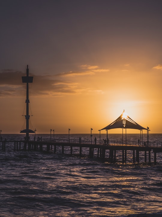
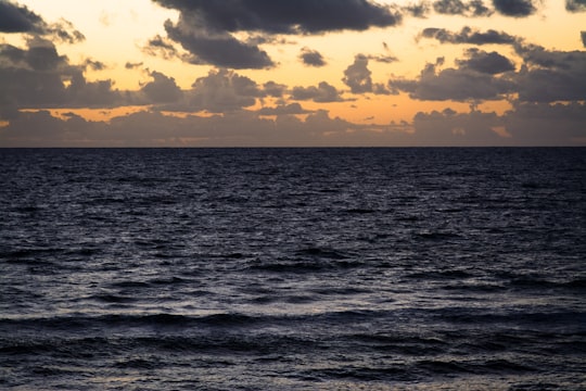
18 - Largs Bay
21 km away
Largs Bay is a suburb in the Australian state of South Australia located on the Lefevre Peninsula in the west of Adelaide about 16 kilometres northwest of the Adelaide city centre.
Learn more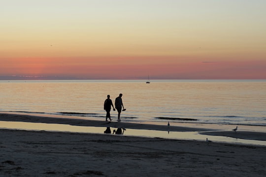
19 - Brighton South Australia
21 km away
North Brighton is a suburb of Adelaide in South Australia. The northern reaches of the suburb are occupied by Brighton Secondary School and the campus of Minda Inc, a large disability support organisation.
Learn more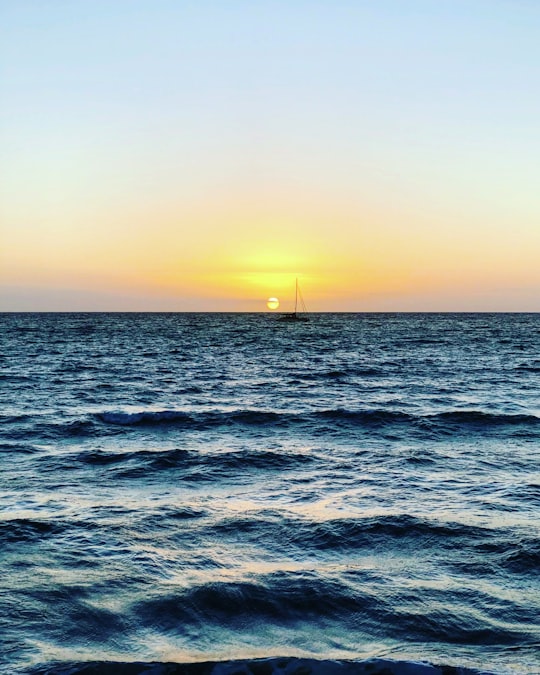
20 - Semaphore
22 km away
Semaphore is a northwestern suburb of Adelaide in the Australian state of South Australia. It is located on the Gulf St Vincent coastline of the Lefevre Peninsula about 14 kilometres from the Adelaide city centre.
Learn more
21 - Semaphore Beach
22 km away
Learn more Book this experience
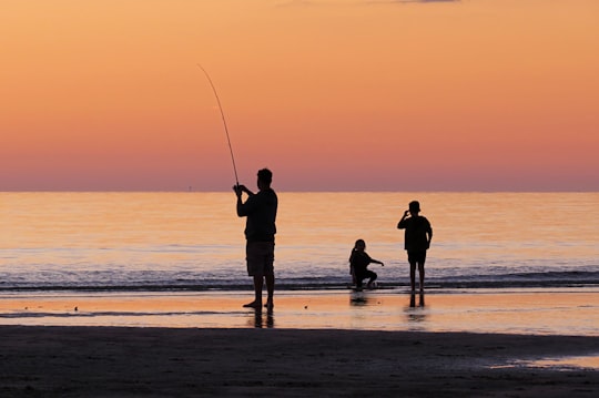
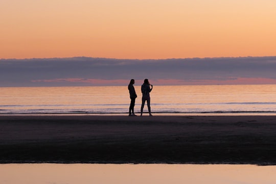
Disover the best Instagram Spots around Woodforde here
Book Tours and Activities in Woodforde
Discover the best tours and activities around Woodforde, Australia and book your travel experience today with our booking partners
Plan your trip in Woodforde with AI 🤖 🗺
Roadtrips.ai is a AI powered trip planner that you can use to generate a customized trip itinerary for any destination in Australia in just one clickJust write your activities preferences, budget and number of days travelling and our artificial intelligence will do the rest for you
👉 Use the AI Trip Planner
Where to Stay in Woodforde
Discover the best hotels around Woodforde, Australia and book your stay today with our booking partner booking.com
More Travel spots to explore around Woodforde
Click on the pictures to learn more about the places and to get directions
Discover more travel spots to explore around Woodforde
🐾 Wildlife spotsTravel map of Woodforde
Explore popular touristic places around Woodforde
Download On Google Maps 🗺️📲