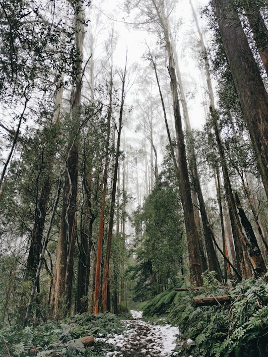
Travel Guide of Warburton VIC in Australia by Influencers and Travelers
Warburton is a town in Victoria, Australia, 72 kilometres east of Melbourne's central business district. Its local government area is the Shire of Yarra Ranges. At the 2016 census, Warburton had a population of 2,012 people.
Download the Travel Map of Australia on Google Maps here
Pictures and Stories of Warburton VIC from Influencers
Picture from Ryan W who have traveled to Warburton VIC
Plan your trip in Warburton VIC with AI 🤖 🗺
Roadtrips.ai is a AI powered trip planner that you can use to generate a customized trip itinerary for any destination in Australia in just one clickJust write your activities preferences, budget and number of days travelling and our artificial intelligence will do the rest for you
👉 Use the AI Trip Planner
The Best Things to Do and Visit around Warburton VIC
Disover the best Instagram Spots around Warburton VIC here
1 - Warburton
Warburton is a town in Victoria, Australia, 72 kilometres east of Melbourne's central business district. Its local government area is the Shire of Yarra Ranges. At the 2016 census, Warburton had a population of 2,012 people.
Learn more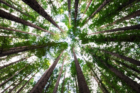
2 - Mount Donna Buang
6 km away
Mount Donna Buang is a mountain in the southern reaches of the Victorian Alps of the Great Dividing Range, located in the Australian state of Victoria.
Learn more Book this experience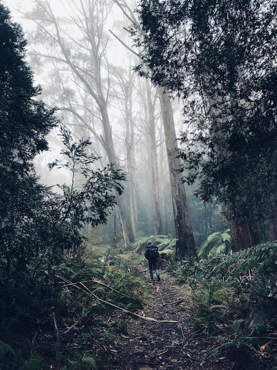
3 - Healesville Sanctuary
17 km away
Healesville Sanctuary, formally known as the Sir Colin MacKenzie Sanctuary, is a zoo specialising in native Australian animals. It is located at Healesville in rural Victoria, Australia, and has a history of breeding native animals. It is one of only two places to have successfully bred a platypus, the other being Sydney's Taronga Zoo. It also assists with a breeding population of the endangered helmeted honeyeater.
Learn more Book this experience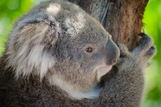
4 - Healesville VIC
18 km away
Healesville is a town in Victoria, Australia, 52 km north-east from Melbourne's central business district. Its local government area is the Shire of Yarra Ranges. At the 2016 Census, Healesville had a population of 7,461. The median age was 44 years. Healesville is situated on the Watts River, a tributary of the Yarra River.
Learn more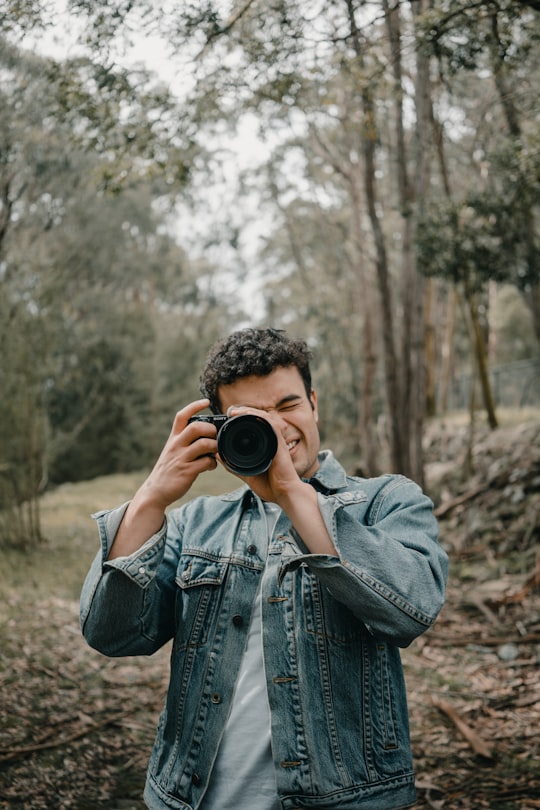
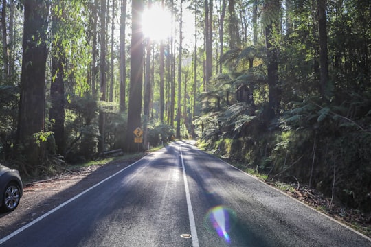
5 - Black Spur Drive
18 km away
Learn more
6 - Silvan VIC
25 km away
Silvan is a town in Victoria, Australia, located 40 km east of Melbourne. Its local government area is the Shire of Yarra Ranges, and the town marks halfway between the Belgrave and Lilydale, both large towns.
Learn more
7 - Dandenong Ranges National Park
28 km away
The Dandenong Ranges National Park is a national park located in the Greater Melbourne region of Victoria, Australia. The 3,540-hectare national park is situated from 31 kilometres at its westernmost points at Ferntree Gully and Boronia to 45 kilometres at it easternmost point at Silvan, east of the Melbourne City Centre.
Learn more Book this experience

8 - Olinda VIC
31 km away
Olinda is a town in the Victorian Dandenongs, with a population of 1,738 as of the 2016 census. Located 36 km east of Melbourne, and within the local government area of the Shire of Yarra Ranges.
Learn more
9 - Dandenong Ranges Botanic Garden
31 km away
National Rhododendron Gardens is a garden in Mount Dandenong, located about 500 meters east from the Olinda township, Australia. It is famous for its colored blooms of rhododendrons, azaleas, camellias, cherries and daffodils. Spring is the best season to visit. There are also some smaller gardens, like the Japanese Garden.
Learn more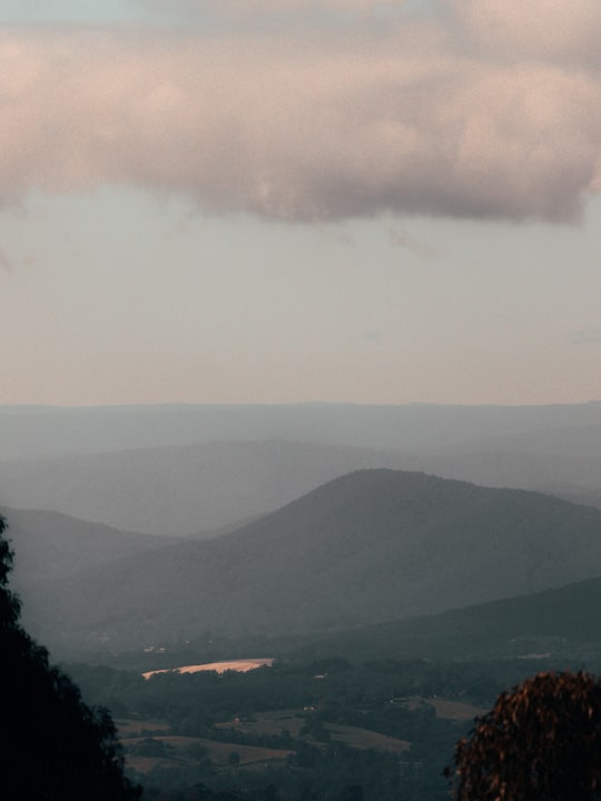
10 - Dandenong Ranges
32 km away
The Dandenong Ranges are a set of low mountain ranges, rising to 633 metres at Mount Dandenong, approximately 35 km east of Melbourne, Victoria, Australia.
Learn more Book this experience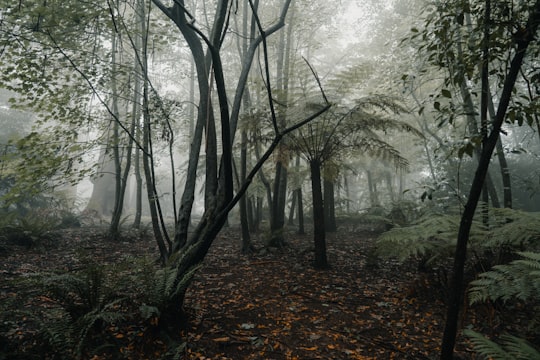
11 - Kallista
32 km away
Kallista is a locality within Greater Melbourne beyond the Melbourne metropolitan area Urban Growth Boundary, 36 km south-east from Melbourne's central business district. Its local government area is the Shire of Yarra Ranges. At the 2016 Census, Kallista had a population of 1,437 people.
Learn more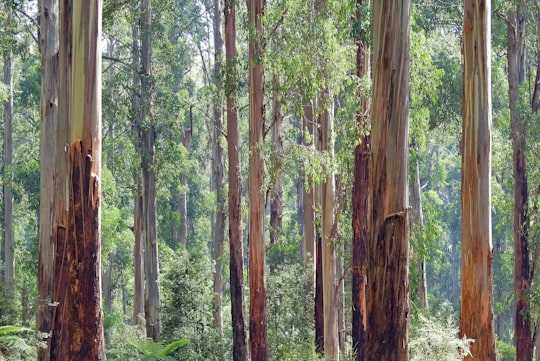
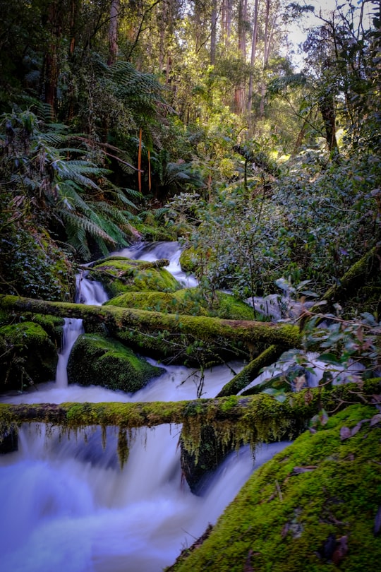
12 - Toorongo Falls Walk
33 km away
The Toorongo Falls Reserve protects two waterfalls on the Toorongo River and the Little Toorongo River in Gippsland, Victoria, Australia.
Learn more Book this experience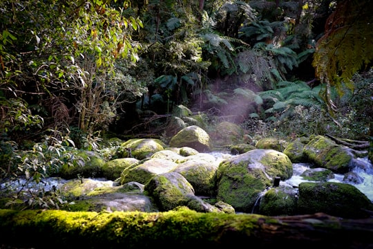
13 - Sherbrooke VIC
33 km away
Sherbrooke is a settlement in Victoria, Australia, 35 km east of Melbourne. Its local government area is the Shire of Yarra Ranges. Permanent European settlement began with Robert W. Graham, an ex sea captain who spent eight years living in Quebec, Canada, before migrating to Australia with his family.
Learn more
14 - Ferny Creek VIC
35 km away
Ferny Creek is a suburb in Melbourne, Victoria, Australia, 33 km south-east of Melbourne's central business district. Its local government area is the Shire of Yarra Ranges. At the 2016 census, Ferny Creek had a population of 1,518.
Learn more
15 - Upwey
36 km away
Upwey is a suburb of Melbourne, Victoria, Australia, 33 kilometres east from Melbourne's central business district. Its local government area is the Shire of Yarra Ranges and City of Knox. At the 2016 census, Upwey had a population of 6,652 people.
Learn more
16 - Neerim South
38 km away
Neerim South is a town in West Gippsland, Victoria, Australia, located in the Shire of Baw Baw, 109 kilometres east of Melbourne and 19 kilometres north of Warragul. At the 2016 census, Neerim South had a population of 1,305. The Post Office opened on 1 February 1883.
Learn more
17 - Cathedral Range State Park
41 km away
The Cathedral Range State Park located in Victoria, Australia, approximately 100 kilometres north-east of Melbourne. It is situated between the towns of Buxton and Taggerty and runs parallel to the Maroondah Highway.
Learn more Book this experience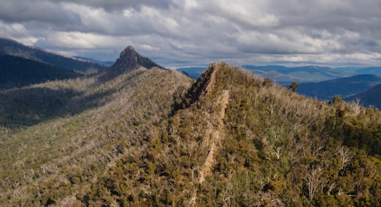
18 - Warrandyte VIC
42 km away
Warrandyte is a suburb of Melbourne, Victoria, Australia, 24 km north-east of Melbourne's Central Business District. Its local government area is the City of Manningham. At the 2011 census, Warrandyte had a population of 5,520.
Learn more
Book Tours and Activities in Warburton VIC
Discover the best tours and activities around Warburton VIC, Australia and book your travel experience today with our booking partners
Where to Stay near Warburton VIC
Discover the best hotels around Warburton VIC, Australia and book your stay today with our booking partner booking.com
More Travel spots to explore around Warburton VIC
Click on the pictures to learn more about the places and to get directions
Discover more travel spots to explore around Warburton VIC
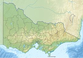
🌲 Forest spotsTravel map of Warburton VIC
Explore popular touristic places around Warburton VIC
Download On Google Maps 🗺️📲
