Travel Guide of Parawa South Australia in Australia by Influencers and Travelers
The District Council of Yankalilla is a local government area centred on the town of Yankalilla on the Fleurieu Peninsula in South Australia. It was created on 23 October 1856, when the District Council of Yankalilla and Myponga was divided into two.
Download the Travel Map of Australia on Google Maps here
Pictures and Stories of Parawa South Australia from Influencers
Picture from Graham Meyer who have traveled to Parawa South Australia
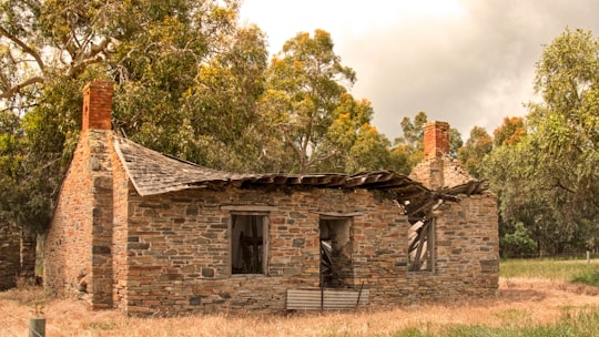
- Derelict Stone house with Collapsed shingle roof ...click to read more
- Experienced by @Graham Meyer | ©Unsplash
Plan your trip in Parawa South Australia with AI 🤖 🗺
Roadtrips.ai is a AI powered trip planner that you can use to generate a customized trip itinerary for any destination in Australia in just one clickJust write your activities preferences, budget and number of days travelling and our artificial intelligence will do the rest for you
👉 Use the AI Trip Planner
The Best Things to Do and Visit around Parawa South Australia
Disover the best Instagram Spots around Parawa South Australia here
1 - Yankalilla SA
10 km away
The District Council of Yankalilla is a local government area centred on the town of Yankalilla on the Fleurieu Peninsula in South Australia. It was created on 23 October 1856, when the District Council of Yankalilla and Myponga was divided into two.
Learn more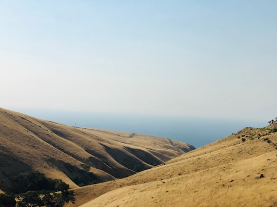
2 - Myponga Reservoir
12 km away
The Myponga Reservoir is a reservoir in South Australia, located about 60 km south of Adelaide near the town of Myponga. The reservoir is fed by the Myponga River and other rivers in the Myponga catchment.
Learn more Book this experience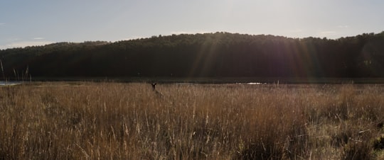

3 - Normanville
12 km away
Normanville is a coastal town in the Australian state of South Australia on the west coast of the Fleurieu Peninsula.
Learn more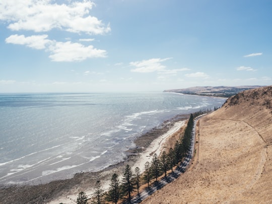
4 - Second Valley
16 km away
Second Valley is a coastal town on the Fleurieu Peninsula in South Australia. The name is derived from being the next valley north of Rapid Bay, the initial camp on South Australian mainland of Colonel William Light.
Learn more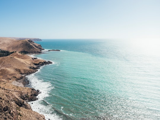

5 - Rapid Bay
17 km away
Rapid Bay is the name of both a locality including a small seaside town and a small bay on the west coast of the Fleurieu Peninsula, South Australia.
Learn more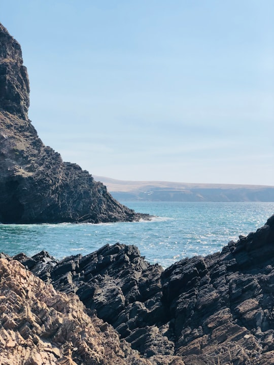
6 - Myponga Beach
18 km away
Myponga Beach is a locality in the Australian state of South Australia located on the west coast of the Fleurieu Peninsula overlooking Gulf St Vincent about 54 kilometres south of the state capital of Adelaide.
Learn more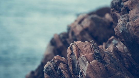
7 - Deep Creek
19 km away
Deep Creek is a locality in the Australian state of South Australia located on the south coast of the Fleurieu Peninsula overlooking Backstairs Passage about 85 kilometres south of the Adelaide city centre.
Learn more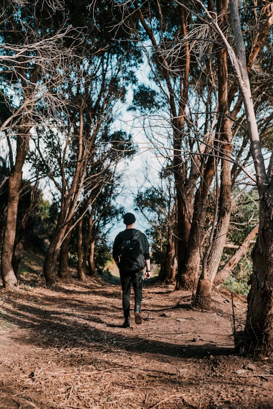
8 - Victor Harbor
22 km away
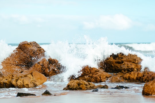
Victor Harbor is a town in the Australian state of South Australia located within the City of Victor Harbor on the south coast of the Fleurieu Peninsula, about 82 kilometres south of the state capital of Adelaide.
Learn more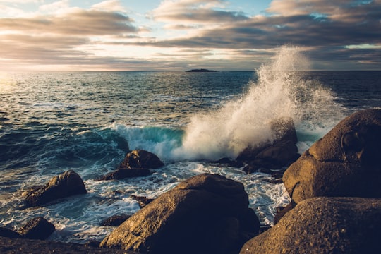
9 - Starfish Hill
23 km away
Starfish Hill Wind Farm is a wind power station spread over two hills near Cape Jervis, South Australia. It has 22 wind turbines, eight on Starfish Hill itself and 14 on Salt Creek Hill, with a combined generating capacity of 33 MW of electricity.
Learn more Book this experience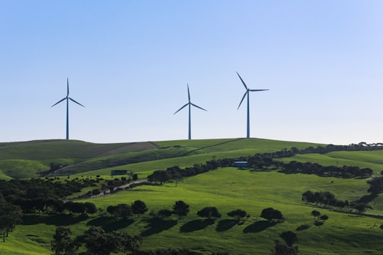

10 - Blowhole Beach
23 km away
Learn more
11 - Granite Island
28 km away
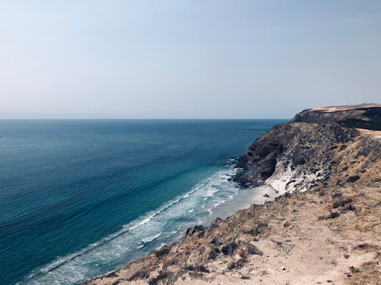
Granite Island, also known by the Ramindjeri people as Nulcoowarra, is a small island next to Victor Harbor, South Australia, about 80 km south of South Australia's capital city, Adelaide.
Learn more Book this experience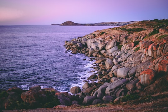

12 - Rosetta Head
29 km away
Rosetta Head, which is more commonly known as The Bluff, is a headland located on the south coast of Fleurieu Peninsula in the Australian state of South Australia in the suburb of Encounter Bay within the local government area of the City of Victor Harbor and about 77 kilometres south of the state capital of Adelaide.
Learn more Book this experience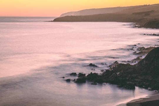

13 - Currency Creek
37 km away
Currency Creek is a township and locality in South Australia on the western shore of Lake Alexandrina about 6 km north of Goolwa, beside a seasonal stream bearing the same name - Currency Creek - which flows into Lake Alexandrina.
Learn more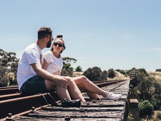
Book Tours and Activities in Parawa South Australia
Discover the best tours and activities around Parawa South Australia, Australia and book your travel experience today with our booking partners
Where to Stay near Parawa South Australia
Discover the best hotels around Parawa South Australia, Australia and book your stay today with our booking partner booking.com
More Travel spots to explore around Parawa South Australia
Click on the pictures to learn more about the places and to get directions
Discover more travel spots to explore around Parawa South Australia
🏘️ Cottage spotsTravel map of Parawa South Australia
Explore popular touristic places around Parawa South Australia
Download On Google Maps 🗺️📲