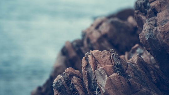
Travel Guide of Myponga Beach in Australia by Influencers and Travelers
Myponga Beach is a locality in the Australian state of South Australia located on the west coast of the Fleurieu Peninsula overlooking Gulf St Vincent about 54 kilometres south of the state capital of Adelaide.
Download the Travel Map of Australia on Google Maps here
The Best Things to Do and Visit in Myponga Beach
TRAVELERS TOP 10 :
- Yankalilla SA
- Myponga Reservoir
- Climbing in McLaren Vale
- Normanville
- Second Valley
- Culinary Tour in McLaren Vale
- Starfish Hill
- Granite Island
- Victor Harbor
- Deep Creek
1 - Yankalilla SA
8 km away
The District Council of Yankalilla is a local government area centred on the town of Yankalilla on the Fleurieu Peninsula in South Australia. It was created on 23 October 1856, when the District Council of Yankalilla and Myponga was divided into two.
Learn more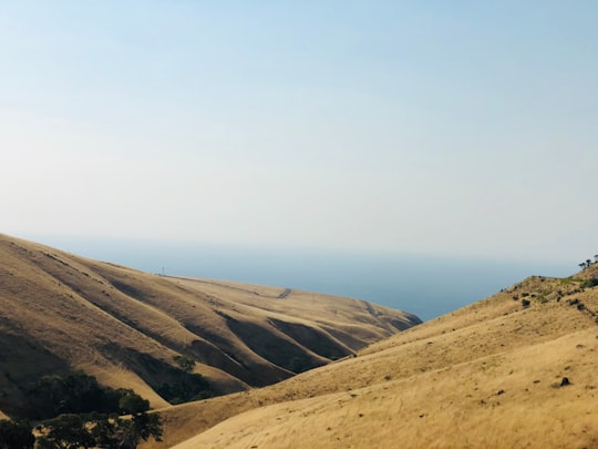
2 - Myponga Reservoir
6 km away
The Myponga Reservoir is a reservoir in South Australia, located about 60 km south of Adelaide near the town of Myponga. The reservoir is fed by the Myponga River and other rivers in the Myponga catchment.
Learn more Book this experience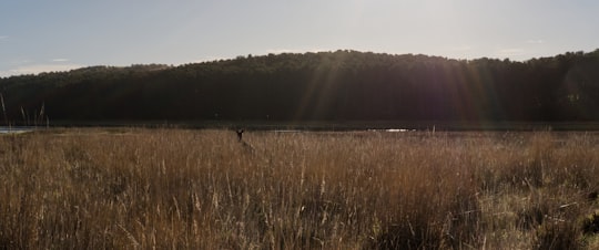

3 - Climbing in McLaren Vale
24 km away
Be surrounded by nature - Set in the rugged landscape of Onkaparinga River National Park featuring a gorge with cliffs up to 30 metres high and large permanent rock pools it is nothing short of beautiful. You will also be among an abundance of native wildlife including birds, koalas, kangaroos and possums, you may even spot an echidna. Start your day the right way – breathe in the fresh air of Onkaparinga River National Park before taking on the cliff faces for your rock-climbing adventure. There are a variety of climbs designated for a range of different challenges. Be re-assured with our experienced guides - Our experienced and accredited climbing instructors will provide all equipment, instruction and technical expertise. A variety of climbs will be setup to cater for all levels of fitness and experience. Our guides will ensure everyone gets the chance to have fun, learn some new skills, (or refresh old ones) and challenge themselves as much as they choose.
Book this experience
4 - Normanville
14 km away
Normanville is a coastal town in the Australian state of South Australia on the west coast of the Fleurieu Peninsula.
Learn more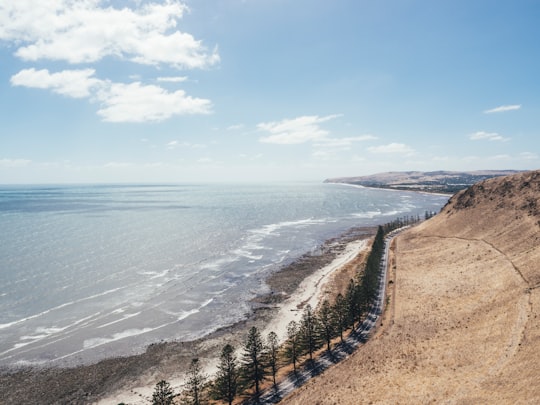
5 - Second Valley
22 km away
Second Valley is a coastal town on the Fleurieu Peninsula in South Australia. The name is derived from being the next valley north of Rapid Bay, the initial camp on South Australian mainland of Colonel William Light.
Learn more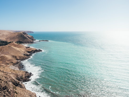

6 - Culinary Tour in McLaren Vale
24 km away
From the time you enter the Visitor Centre, you will feel a part of the area. One Hundred and eighty years of tradition has gone into make McLaren Vale a truly special wine district. The electric bike will help as much as you need to give you a relaxed ride along the many bike tracks in the area so you can arrive at your destination relaxed, refreshed and ready to enjoy the unique offer of any of the 100+ wineries and restaurants in the wine region. Wine not your thing? Gin distilleries and micro breweries add to your choice - taste the differences that local and fresh ingredients can make when combined with talent and perseverance. Need more? Restaurants lead by award winning chefs. Bakeries with award winning bakers Even more? Wildlife that will watch you as you silently cruise past. There is something for everyone in McLaren Vale.
Book this experience
7 - Starfish Hill
28 km away
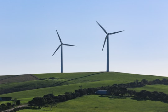
Starfish Hill Wind Farm is a wind power station spread over two hills near Cape Jervis, South Australia. It has 22 wind turbines, eight on Starfish Hill itself and 14 on Salt Creek Hill, with a combined generating capacity of 33 MW of electricity.
Learn more Book this experience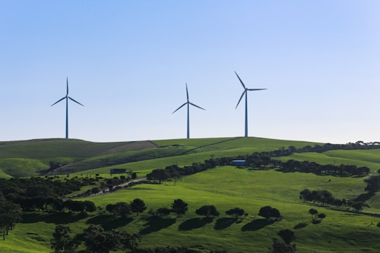
8 - Granite Island
29 km away
Granite Island, also known by the Ramindjeri people as Nulcoowarra, is a small island next to Victor Harbor, South Australia, about 80 km south of South Australia's capital city, Adelaide.
Learn more Book this experience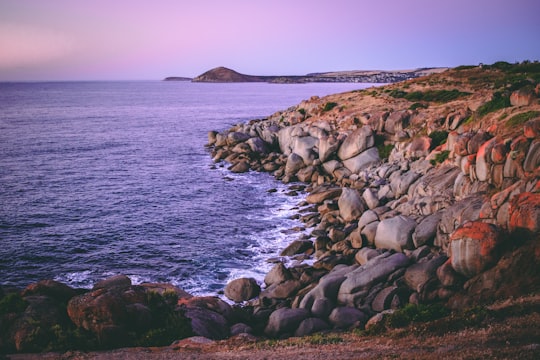

9 - Victor Harbor
29 km away
Victor Harbor is a town in the Australian state of South Australia located within the City of Victor Harbor on the south coast of the Fleurieu Peninsula, about 82 kilometres south of the state capital of Adelaide.
Learn more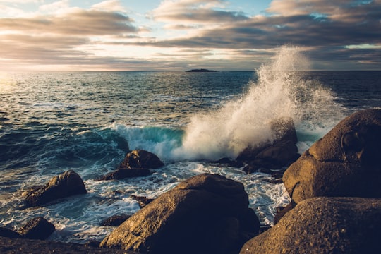
10 - Deep Creek
30 km away
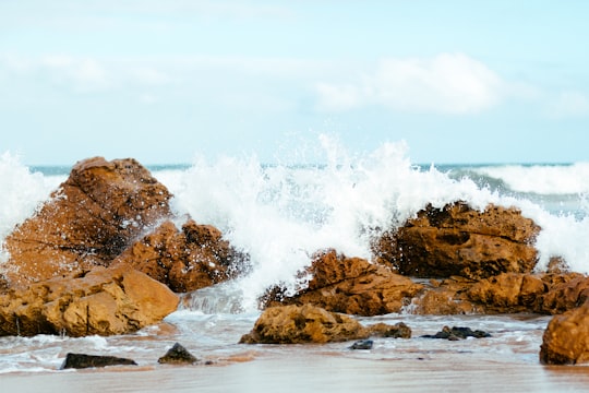
Deep Creek is a locality in the Australian state of South Australia located on the south coast of the Fleurieu Peninsula overlooking Backstairs Passage about 85 kilometres south of the Adelaide city centre.
Learn more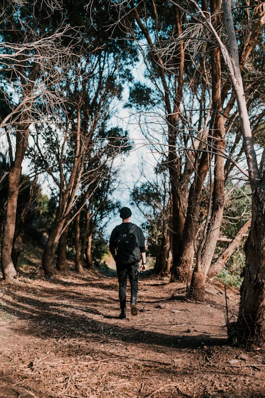
11 - Rosetta Head
31 km away
Rosetta Head, which is more commonly known as The Bluff, is a headland located on the south coast of Fleurieu Peninsula in the Australian state of South Australia in the suburb of Encounter Bay within the local government area of the City of Victor Harbor and about 77 kilometres south of the state capital of Adelaide.
Learn more Book this experience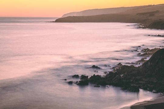
12 - Currency Creek
35 km away
Currency Creek is a township and locality in South Australia on the western shore of Lake Alexandrina about 6 km north of Goolwa, beside a seasonal stream bearing the same name - Currency Creek - which flows into Lake Alexandrina.
Learn more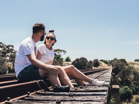

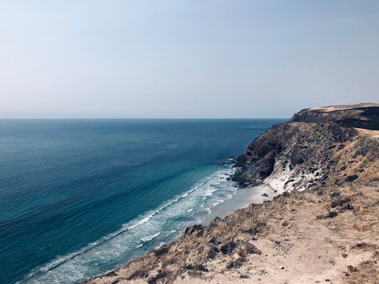
13 - Blowhole Beach
36 km away
Learn more
14 - Brighton
43 km away
Brighton is a suburb in Melbourne, Victoria, Australia, 11 km south-east of Melbourne's Central Business District, located within the City of Bayside local government area. Brighton recorded a population of 23,252 at the 2021 census. Brighton is named after Brighton in England.
Learn more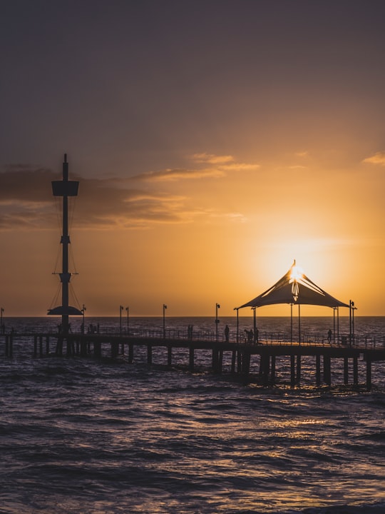
Disover the best Instagram Spots around Myponga Beach here
Book Tours and Activities in Myponga Beach
Discover the best tours and activities around Myponga Beach, Australia and book your travel experience today with our booking partners
Pictures and Stories of Myponga Beach from Influencers
Picture from Alec Weir who have traveled to Myponga Beach
Plan your trip in Myponga Beach with AI 🤖 🗺
Roadtrips.ai is a AI powered trip planner that you can use to generate a customized trip itinerary for any destination in Australia in just one clickJust write your activities preferences, budget and number of days travelling and our artificial intelligence will do the rest for you
👉 Use the AI Trip Planner
Why should you visit Myponga Beach ?
Travel to Myponga Beach if you like:
⛰️ CliffWhere to Stay in Myponga Beach
Discover the best hotels around Myponga Beach, Australia and book your stay today with our booking partner booking.com
More Travel spots to explore around Myponga Beach
Click on the pictures to learn more about the places and to get directions
Discover more travel spots to explore around Myponga Beach
⛰️ Cliff spotsTravel map of Myponga Beach
Explore popular touristic places around Myponga Beach
Download On Google Maps 🗺️📲
