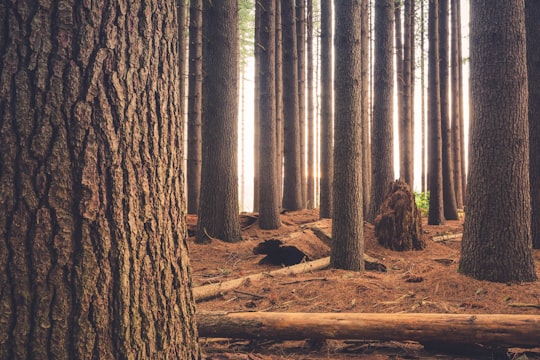
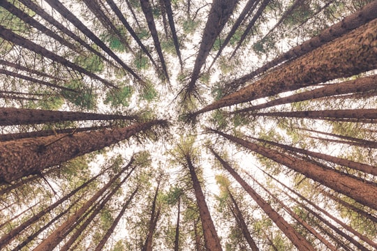
Travel Guide of Laurel Hill in Australia by Influencers and Travelers
Laurel Hill is a village community in the south east part of the Riverina, in New South Wales, Australia. It is situated by road, about 14 kilometres south of Batlow and 22 kilometres north of Tumbarumba.
Download the Travel Map of Australia on Google Maps here
The Best Things to Do and Visit in Laurel Hill
TRAVELERS TOP 4 :
1 - Paddys River Falls Road
29 km away
The Paddys River Falls, sometimes also Paddy's River Falls, is a cascade waterfall located on the Paddys River, situated approximately 15 kilometres south of Tumbarumba, in the eastern Riverina region of New South Wales, Australia.
Learn more Book this experience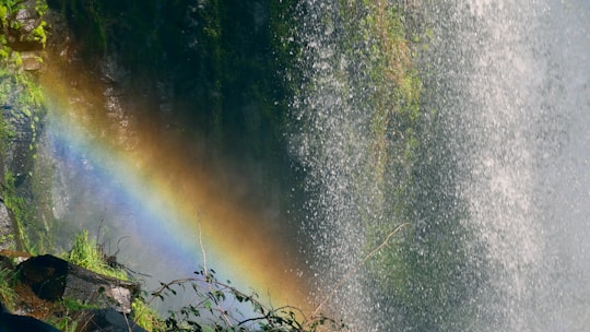

2 - Tumut NSW
34 km away
Tumut is a town in the Riverina region of New South Wales, Australia, situated on the banks of the Tumut River. Tumut sits on the north-west foothills of the Snowy Mountains and is located on the traditional lands of the Wiradjuri, Wolgalu and Ngunnawal Aboriginal peoples.
Learn more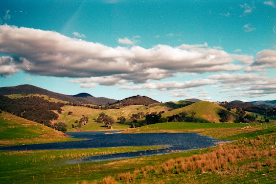
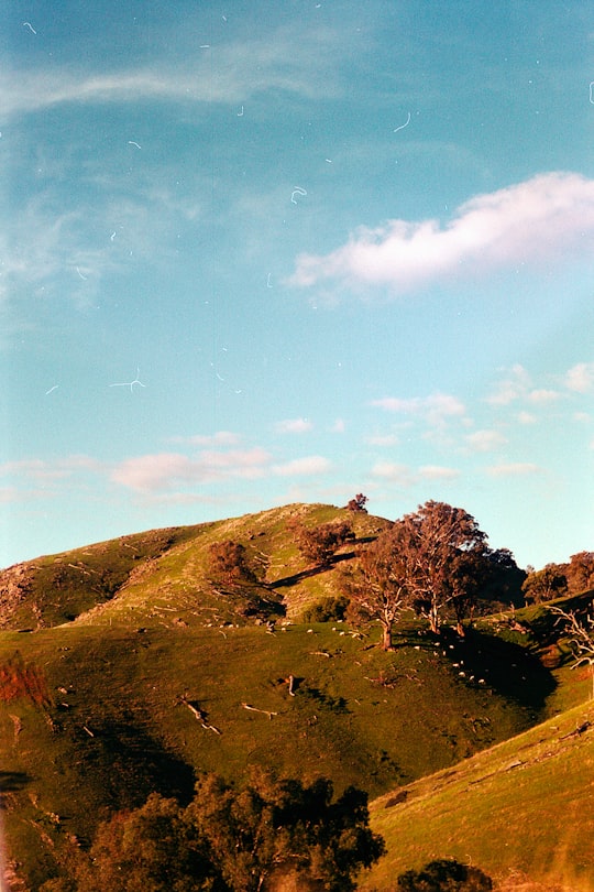
3 - Australian Alps Walking Track
45 km away
The Australian Alps Walking Track is a long-distance walking trail through the alpine areas of Victoria, New South Wales and ACT. It is 655 km long, starting at Walhalla, Victoria and running through to Tharwa, ACT near Canberra.
Learn more Book this experience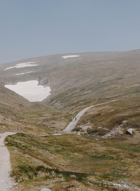
4 - Kosciuszko National Park NSW
47 km away
The Kosciuszko National Park is a 6,900-square-kilometre national park and contains mainland Australia's highest peak, Mount Kosciuszko, for which it is named, and Cabramurra the highest town in Australia.
Learn more Book this experience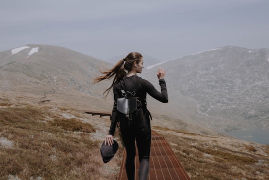

Disover the best Instagram Spots around Laurel Hill here
Book Tours and Activities in Laurel Hill
Discover the best tours and activities around Laurel Hill, Australia and book your travel experience today with our booking partners
Pictures and Stories of Laurel Hill from Influencers
2 pictures of Laurel Hill from Liam Pozz, , and other travelers
Plan your trip in Laurel Hill with AI 🤖 🗺
Roadtrips.ai is a AI powered trip planner that you can use to generate a customized trip itinerary for any destination in Australia in just one clickJust write your activities preferences, budget and number of days travelling and our artificial intelligence will do the rest for you
👉 Use the AI Trip Planner
Why should you visit Laurel Hill ?
Travel to Laurel Hill if you like:
🌲 ForestWhere to Stay in Laurel Hill
Discover the best hotels around Laurel Hill, Australia and book your stay today with our booking partner booking.com
More Travel spots to explore around Laurel Hill
Click on the pictures to learn more about the places and to get directions
Discover more travel spots to explore around Laurel Hill
🌲 Forest spotsTravel map of Laurel Hill
Explore popular touristic places around Laurel Hill
Download On Google Maps 🗺️📲
