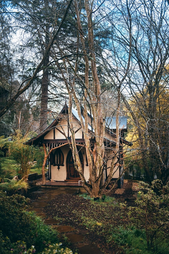
Travel Guide of Kallista VIC in Australia by Influencers and Travelers
Kallista is a locality within Greater Melbourne beyond the Melbourne metropolitan area Urban Growth Boundary, 36 km south-east from Melbourne's central business district. Its local government area is the Shire of Yarra Ranges. At the 2016 Census, Kallista had a population of 1,437 people.
Download the Travel Map of Australia on Google Maps here
The Best Things to Do and Visit in Kallista VIC
TRAVELERS TOP 10 :
- Dandenong Ranges
- Dandenong Ranges National Park
- Warburton
- Brighton
- Brighton beach
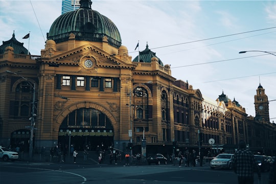
- Flinders Street railway station
- Royal Exhibition Building
- Southbank
- Frankston
- Albert Park
1 - Dandenong Ranges
6 km away
The Dandenong Ranges are a set of low mountain ranges, rising to 633 metres at Mount Dandenong, approximately 35 km east of Melbourne, Victoria, Australia.
Learn more Book this experience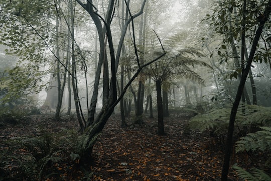
2 - Dandenong Ranges National Park
8 km away
The Dandenong Ranges National Park is a national park located in the Greater Melbourne region of Victoria, Australia. The 3,540-hectare national park is situated from 31 kilometres at its westernmost points at Ferntree Gully and Boronia to 45 kilometres at it easternmost point at Silvan, east of the Melbourne City Centre.
Learn more Book this experience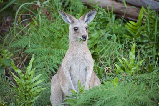

3 - Warburton
31 km away
Warburton is a town in Victoria, Australia, 72 kilometres east of Melbourne's central business district. Its local government area is the Shire of Yarra Ranges. At the 2016 census, Warburton had a population of 2,012 people.
Learn more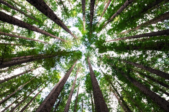
4 - Brighton
33 km away
Brighton is a suburb in Melbourne, Victoria, Australia, 11 km south-east of Melbourne's Central Business District, located within the City of Bayside local government area. Brighton recorded a population of 23,252 at the 2021 census. Brighton is named after Brighton in England.
Learn more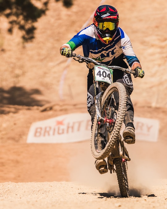
5 - Brighton beach
34 km away
Brighton Beach railway station is located on the Sandringham line in Victoria, Australia, and serves the south-eastern Melbourne suburb of Brighton. It opened on 21 September 1861 as Beach, being renamed Brighton Beach on 1 January 1867. The famous Brighton Bathing Boxes are located a short walk from the station. It was upgraded to a premium station on 20 November 1995.
Learn more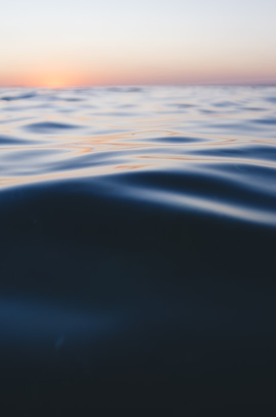
6 - Flinders Street railway station
35 km away
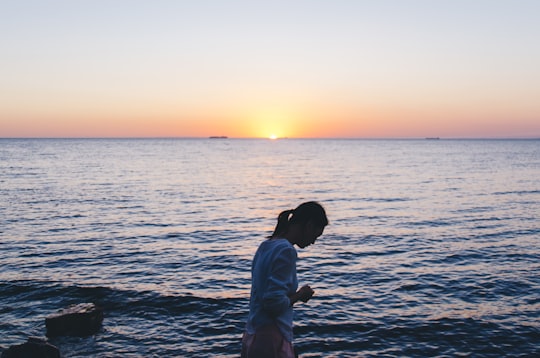
Melbourne Central railway station is an underground station on the metro network in Melbourne, Australia. It is one of five stations on the City Loop, which encircles the Melbourne CBD.
Learn more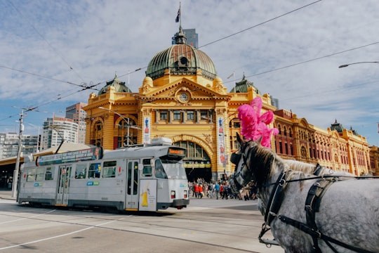
7 - Royal Exhibition Building
36 km away
The Royal Exhibition Building is a World Heritage-listed building in Melbourne, Victoria, Australia, built in 1879-80 as part of the international exhibition movement, which presented over 50 exhibitions between 1851 and 1915 around the globe.
Learn more Book this experience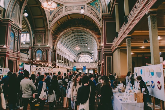
8 - Southbank
36 km away
Southbank is an inner urban neighbourhood of Melbourne, Victoria, Australia, 1 km south of the Melbourne central business district. Its local government area are the cities of Melbourne and Port Phillip. At the 2016 Census, Southbank had a population of 18,709. Its southernmost area is considered part of the central business district of the city. Southbank is bordered to the north by the Yarra River, and to the east by St Kilda Road.
Learn more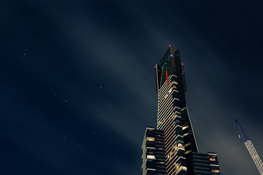
9 - Frankston
36 km away
Frankston is a suburb of Melbourne in Victoria, Australia, in the local government area of the City of Frankston. It is located 41 km south-east of the Melbourne city centre, north of the Mornington Peninsula.
Learn more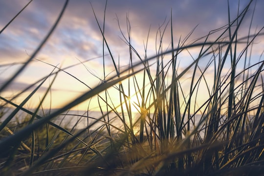
10 - Albert Park
36 km away
Albert Park is an inner suburb of Melbourne, Australia, 4 km south of Melbourne's central business district. Its local government area is the City of Port Phillip.
Learn more
11 - Saint Kilda Road
36 km away
The National Gallery of Victoria, popularly known as the NGV, is an art museum in Melbourne, Victoria, Australia. Founded in 1861, it is Australia's oldest, largest and most visited art museum.
Learn more Book this experience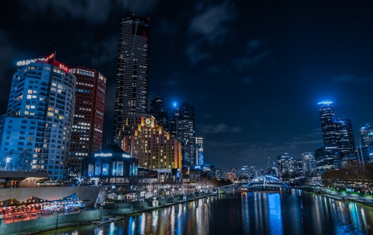
12 - Flinders Street Station
36 km away
Learn more
Disover the best Instagram Spots around Kallista VIC here
Book Tours and Activities in Kallista VIC
Discover the best tours and activities around Kallista VIC, Australia and book your travel experience today with our booking partners
Pictures and Stories of Kallista VIC from Influencers
Picture from Jaccob McKay who have traveled to Kallista VIC
Plan your trip in Kallista VIC with AI 🤖 🗺
Roadtrips.ai is a AI powered trip planner that you can use to generate a customized trip itinerary for any destination in Australia in just one clickJust write your activities preferences, budget and number of days travelling and our artificial intelligence will do the rest for you
👉 Use the AI Trip Planner
Why should you visit Kallista VIC ?
Travel to Kallista VIC if you like:
🏘️ CottageWhere to Stay in Kallista VIC
Discover the best hotels around Kallista VIC, Australia and book your stay today with our booking partner booking.com
More Travel spots to explore around Kallista VIC
Click on the pictures to learn more about the places and to get directions
Discover more travel spots to explore around Kallista VIC
🏘️ Cottage spots 🐾 Wildlife spotsTravel map of Kallista VIC
Explore popular touristic places around Kallista VIC
Download On Google Maps 🗺️📲
