Travel Guide of Cape Schanck in Australia by Influencers and Travelers
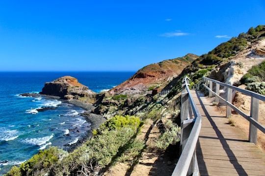
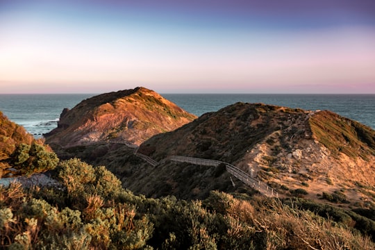
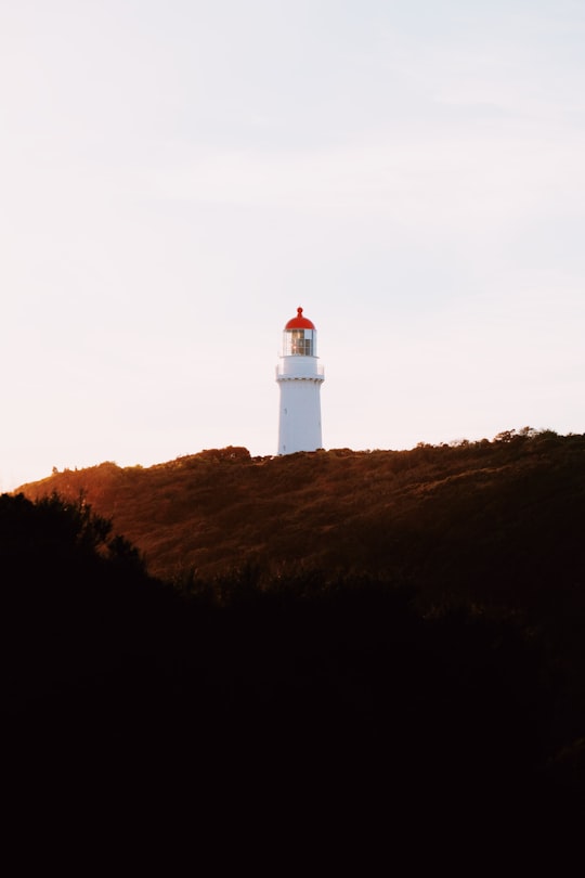
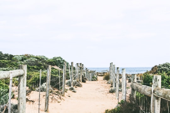
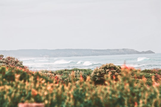
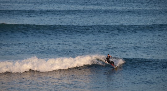
Cape Schanck is a locality in the Australian state of Victoria. It is the southernmost tip of the Mornington Peninsula and separates the wild ocean waters of Bass Strait from the slightly calmer waters of Western Port.
Download the Travel Map of Australia on Google Maps here
The Best Things to Do and Visit in Cape Schanck
TRAVELERS TOP 10 :
- Cape Schanck VIC
- Flinders VIC
- Pulpit Rock
- Bushrangers Bay
- Rye VIC
- Bay Trail
- Safety Beach VIC
- Koonya Beach
- Nobbies Centre
- Sorrento VIC
1 - Cape Schanck VIC
Cape Schanck is a locality in the Australian state of Victoria. It is the southernmost tip of the Mornington Peninsula and separates the wild ocean waters of Bass Strait from the slightly calmer waters of Western Port.
Learn more
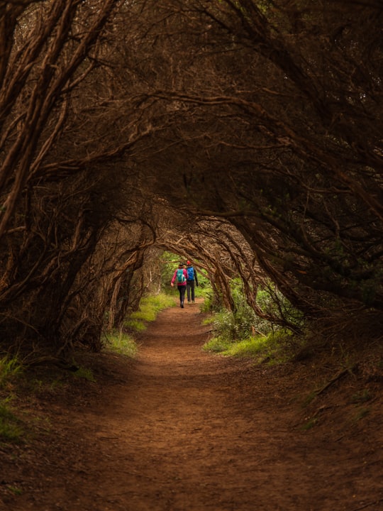
2 - Flinders VIC
10 km away
The Division of Flinders is an Australian Electoral Division in Victoria. The division is one of the original 65 divisions contested at the first federal election.
Learn more Book this experience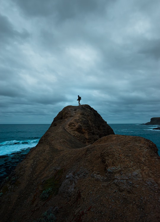
3 - Pulpit Rock
Pulpit Rock is a rock located in Cape Schanck, Victoria, Australia. It is in the Mornington Peninsula National Park, near the Bass Strait. Pulpit Rock is a geological formation created by volcanic activity over millions of years. Its base is called Devils Desk. A painting of the rock by Nicholas Chevalier is held in the Art Gallery of New South Wales.
Learn more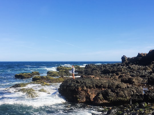
4 - Bushrangers Bay
Learn more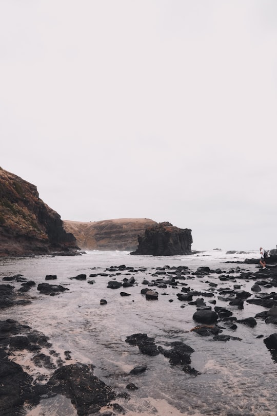
5 - Rye VIC
11 km away
Rye is a seaside town in Greater Melbourne on the Mornington Peninsula, Victoria, Australia. It is approximately 95 km south of Melbourne’s central business district.
Learn more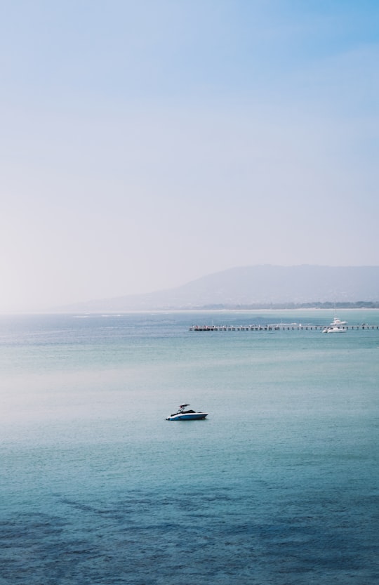
6 - Bay Trail
12 km away
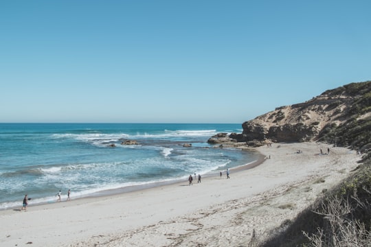
The Bay Trail is a shared use path for cyclists and pedestrians which follows the coastline of Port Phillip Bay through the south-eastern suburbs of Melbourne, Victoria, Australia.
Learn more Book this experience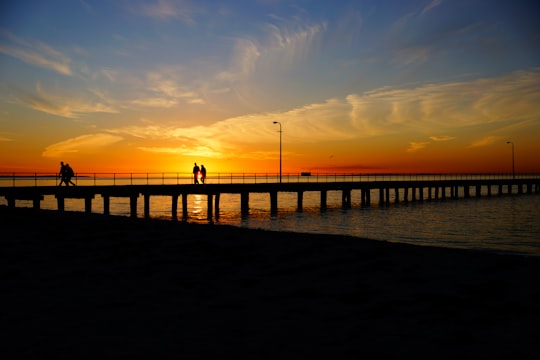
7 - Safety Beach VIC
17 km away
Safety Beach is a seaside town in Metropolitan Melbourne on the Mornington Peninsula, Victoria, Australia. Its local government area is the Shire of Mornington Peninsula. At the 2016 census, Safety Beach had a population of 4,821.
Learn more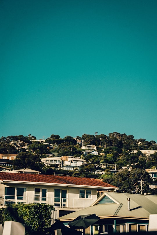
8 - Koonya Beach
17 km away
Learn more
9 - Nobbies Centre
20 km away
The Nobbies Centre is an ecotourism destination located at Point Grant, on the western tip of Phillip Island, Victoria, Australia.
Learn more Book this experience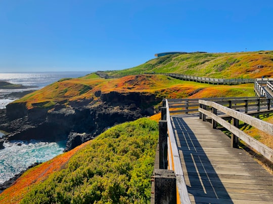

10 - Sorrento VIC
20 km away
Sorrento is a coastal town south of Metropolitan Melbourne on the Mornington Peninsula, in Victoria, Australia. It is thought that the name 'Sorrento' was conferred upon what was known as Sullivans Bay when the area was first opened for housing development in 1869.
Learn more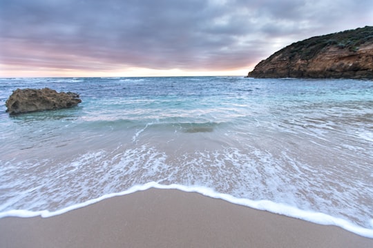
11 - Fort Nepean
28 km away
Fort Nepean is a former defensive facility occupying part of Point Nepean, Victoria, Australia. It was part of a network of fortifications, commanded from Fort Queenscliff, protecting the narrow entrance to Port Phillip.
Learn more Book this experience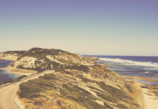
12 - Phillip Island
29 km away
Phillip Island is an Australian island about 125 km south-southeast of Melbourne, Victoria. The island is named after Governor Arthur Phillip, the first Governor of New South Wales, by explorer and seaman George Bass, who sailed in an open whale boat, arriving from Sydney on 5 January 1798.
Learn more Book this experience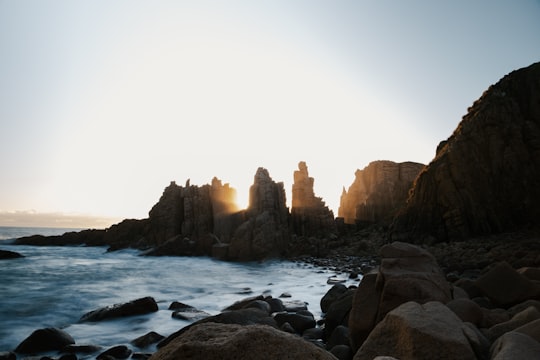

13 - Mornington VIC
29 km away
Mornington is a suburb of Melbourne on the Mornington Peninsula, Victoria, Australia, located 57 km south of Melbourne's central business district. It is in the local government area of the Shire of Mornington Peninsula. Mornington is known for its "village" atmosphere and its beaches.
Learn more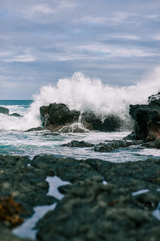
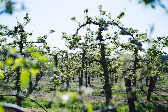
14 - Phillip Island Road
29 km away
Learn more
Disover the best Instagram Spots around Cape Schanck here
Book Tours and Activities in Cape Schanck
Discover the best tours and activities around Cape Schanck, Australia and book your travel experience today with our booking partners
Pictures and Stories of Cape Schanck from Influencers
3 pictures of Cape Schanck from Mert Atakan, Wee Ping Khoo, Arvin Wiyono and other travelers
Plan your trip in Cape Schanck with AI 🤖 🗺
Roadtrips.ai is a AI powered trip planner that you can use to generate a customized trip itinerary for any destination in Australia in just one clickJust write your activities preferences, budget and number of days travelling and our artificial intelligence will do the rest for you
👉 Use the AI Trip Planner
Why should you visit Cape Schanck ?
Travel to Cape Schanck if you like:
🏖️ HeadlandWhere to Stay in Cape Schanck
Discover the best hotels around Cape Schanck, Australia and book your stay today with our booking partner booking.com
More Travel spots to explore around Cape Schanck
Click on the pictures to learn more about the places and to get directions
Discover more travel spots to explore around Cape Schanck
🌲 Forest spots ⛰️ Hill spots 🏖️ Headland spots 🌲 Nature reserve spots 🏖️ Beach spots 🏖️ Shore spots ⛰️ Cliff spots 🚢 Lighthouse spots 🌊 Ocean spotsTravel map of Cape Schanck
Explore popular touristic places around Cape Schanck
Download On Google Maps 🗺️📲
