Travel Guide of Khndzoresk in Armenia by Influencers and Travelers
Khndzoresk is a village in the Goris Municipality of the Syunik Province in Armenia. The village is located to the east of the Goris-Stepanakert highway, on the steep slopes of Khor Dzor, which the village is named after, according to tradition.
The Best Things to Do and Visit in Khndzoresk
TRAVELERS TOP 10 :
- Goris
- Noravank
- Halidzor
- Tatev Monastery
- Tatev
- Kapan
- Vahanavank Monastery
- Sisian
- Syunik
- Syunik Province
1 - Goris
7 km away
Goris is a town and the centre of the urban community of Goris, in Syunik Province at the south of Armenia. Located in the valley of river Goris, it is 254 km from the Armenian capital Yerevan and 67 km from the provincial center Kapan.
Learn more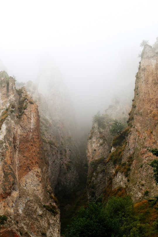
2 - Noravank
15 km away
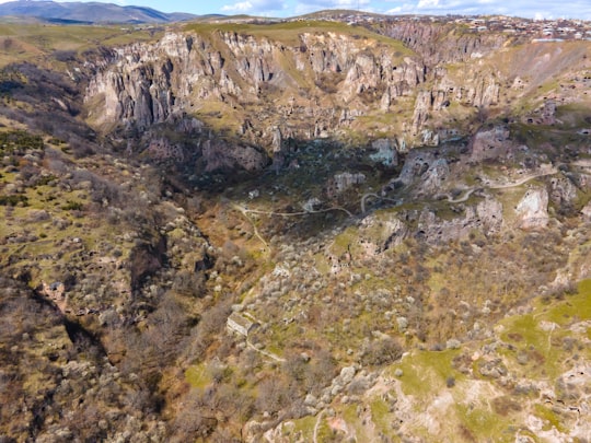
Bgheno-Noravank Monastery is an 11th-century Armenian monastery in the Syunik Marz of Armenia. It now consists of a small church dating to 1062, located on a little wooded promontory, and ornately decorated with borders and biblical reliefs.
View on Google Maps Book this experience
3 - Halidzor
16 km away
Halidzor is a village in the Tatev Municipality of the Syunik Province in Armenia.
Learn more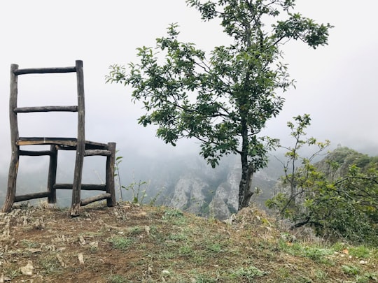
4 - Tatev Monastery
22 km away
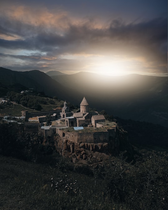
The Tatev Monastery is a 9th-century Armenian Apostolic monastery located on a large basalt plateau near the Tatev village in Syunik Province in southeastern Armenia. The term "Tatev" usually refers to the monastery. The monastic ensemble stands on the edge of a deep gorge of the Vorotan River.
Learn more Book this experience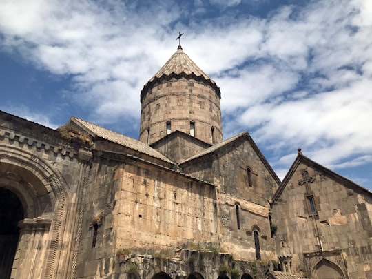

5 - Tatev
22 km away
Tatev is a village and the center of the Tatev Municipality of the Syunik Province in Armenia. The village is home to the 9th-century Tatev Monastery, and hosts a station of the Wings of Tatev; the world's longest non-stop double track aerial tramway.
Learn more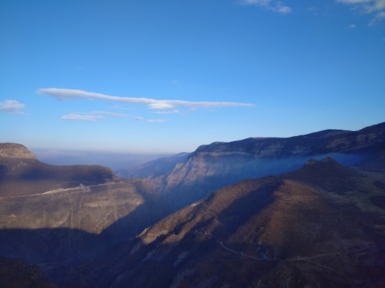
6 - Kapan
34 km away
Kapan is a town in southeast Armenia, serving as the administrative center of the urban community of Kapan as well as the provincial capital of Syunik Province.
Learn more
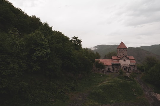
7 - Vahanavank Monastery
34 km away
Hovhannavank is a medieval monastery located in the village of Ohanavan in the Aragatsotn Province of Armenia. The monastery stands on the edge of the Kasagh River canyon, and its territory is adjacent to the village of Ohanavan.
Learn more Book this experience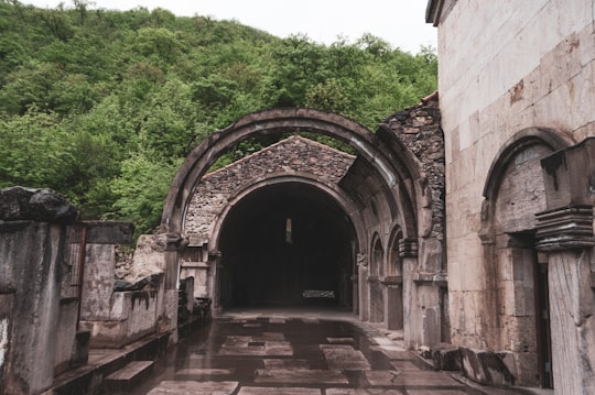
8 - Sisian
34 km away
Sisian is a town and the centre of the urban community of Sisian, in the Syunik Province in southern Armenia. It is located on Vorotan River, 6 km south of the Yerevan-Meghri highway, at a road distance of 217 km southeast of the capital Yerevan, and 115 km north of the provincial centre Kapan.
Learn more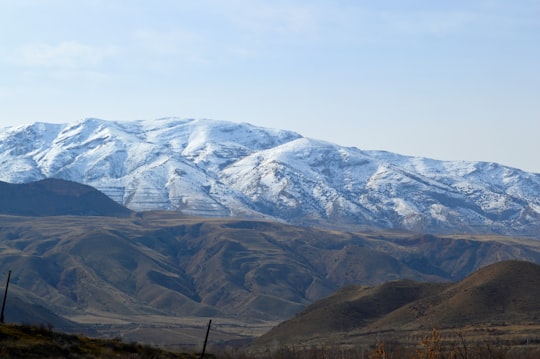
9 - Syunik
35 km away
Syunik is a village in the Kapan Municipality of the Syunik Province in Armenia.
Learn more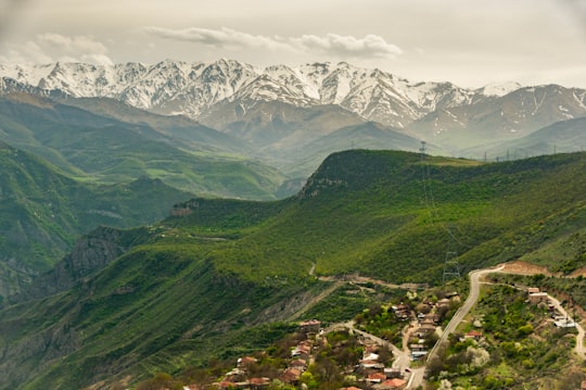
10 - Syunik Province
35 km away
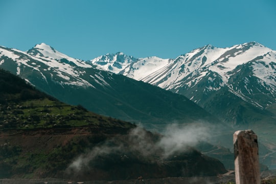
Syunik is the southernmost province of Armenia. It is bordered by the Vayots Dzor Province to the north, Azerbaijan's Nakhchivan Autonomous Republic exclave to the west, Azerbaijan to the east, and Iran to the south.
Learn more
11 - Karahunj
35 km away
Karahunj is a village in the Goris Municipality of the Syunik Province in Armenia.
Learn more
Disover the best Instagram Spots around Khndzoresk here
Book Tours and Activities in Khndzoresk
Discover the best tours and activities around Khndzoresk, Armenia and book your travel experience today with our booking partners
Pictures and Stories of Khndzoresk from Influencers
3 pictures of Khndzoresk from IsaaK Alexandre KaRslian, Hasmik Ghazaryan Olson, and other travelers
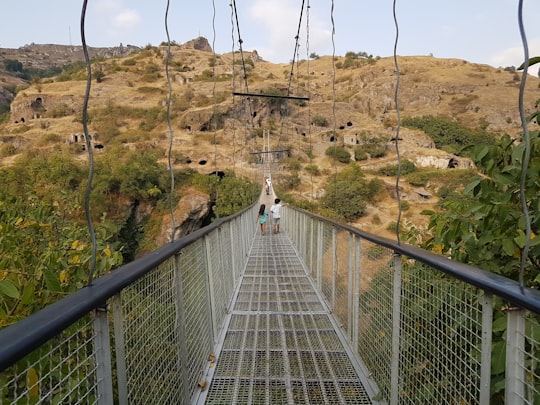
- Khndzoresk Bridge, Armenia ...click to read more
- Experienced by @Hasmik Ghazaryan Olson | ©Unsplash
Plan your trip in Khndzoresk with AI 🤖 🗺
Roadtrips.ai is a AI powered trip planner that you can use to generate a customized trip itinerary for any destination in Armenia in just one clickJust write your activities preferences, budget and number of days travelling and our artificial intelligence will do the rest for you
👉 Use the AI Trip Planner
Why should you visit Khndzoresk ?
Travel to Khndzoresk if you like:
🌉 BridgeLearn More about Khndzoresk
Khndzoresk is a cave village and rural community that was inhabited until the mid-20th century. It is located in the Syunik Mountains in southern Armenia. In the strange sandstone pillars, the inhabitants created dwellings for humans and animals. The more closely you examine, the more windows and entrances you can discern. . Today, the caves are mostly empty. The village is located on the right side of the Goris-Stepanakert highway, on the steep slopes of Khor Dzor (deep ravine) from which the name "Khndzoresk" comes. Crossing the bridge at the entrance to the town, you continue in the direction of the towns of Latchin and Stepanakert. The new Khndzoresk, which is now a populated area, was built in the 1950s.
Where to Stay in Khndzoresk
Discover the best hotels around Khndzoresk, Armenia and book your stay today with our booking partner booking.com
More Travel spots to explore around Khndzoresk
Click on the pictures to learn more about the places and to get directions
Discover more travel spots to explore around Khndzoresk
Landscape spots 🌉 Bridge spotsTravel map of Khndzoresk
Explore popular touristic places around Khndzoresk

